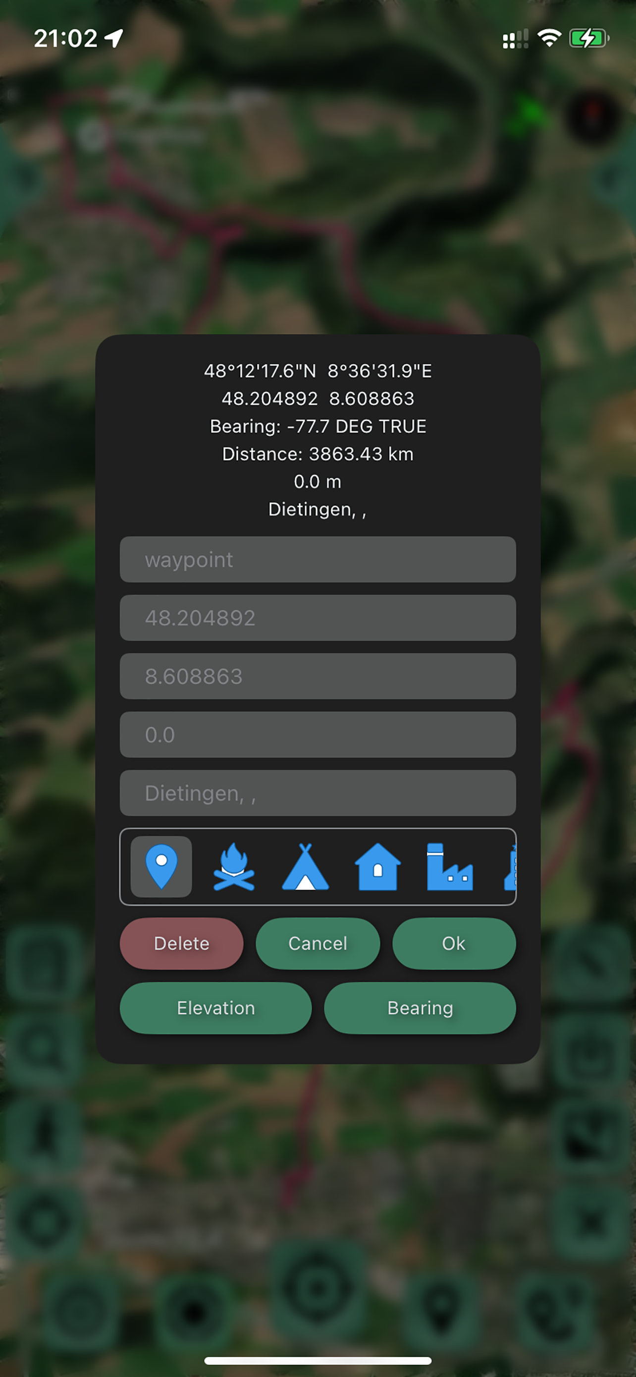
GPS Tracker: Offline Maps,GPX
Navigation ,Сompass,Pedometer
#1 Keyword Rankings
Today
Top 10 Rankings
Today
Top 30 Rankings
Today
Top 100 Rankings
Today

Description

Create, import, export tracks with waypoints. Supports offline maps, no time limits, no ads, no in-app purchases.

The main functions of the application:
- new fast engine from MapBox.
- convenient and fast loading of maps.
- support for UTM coordinate system.
- route planner.
- pedometer with viewing data for the last three months (steps, distance).
- determination of the height of any waypoint.
- search by address.
- search by coordinates.
- compass.
- processing and optimization of tracks.
- loading and unlimited storage of maps of the travel area.
- supports all import and export methods available for your device with services, friends and applications in .gpx format.
- color gradient for speed and height, if this information is in the imported track.
- color gradient for speed and height for recorded tracks.
- recording speed and altitude in the track.
- relief contours in outdoor mode
- extended track information: average and maximum speed, track duration by time and distance, number of waypoints and number of steps.
- different units of measurement: miles, kilometers, feet, meters.
- pedometer when recording a track and saving information.
- work in the background.
- viewing one or more tracks in any application mode, including the recording mode of another track.
- installation, editing, deletion of waypoints in any application mode and anywhere.
- the ability to adjust the quality of the track, distance filters, energy saving mode.
- export and import of tracks and waypoints to various services - Open Street Map and others.
- has a pointer to the target waypoint and shows the distance to it. Easy target waypoint selection in several ways.
- display of additional information on the screen - scale, coordinates, height, speed, number of steps.
- shows the current distance traveled by the track and the travel or walk time.
- has several map styles - satellite, streets, combo and dark.
- Supports dark theme.
- easy start and stop of tracking in several ways.
- the ability to continue any previously recorded or imported track.
- several modes of map orientation - by the heading of the phone, in the direction of travel, centering and to the north.
- Possibility of tilting the map with double pinch.
- quick and easy selection and viewing of saved tracks, waypoints and maps.
- speed and altitude graphs can be scaled and scrolled.
- in the settings link to the user manual .

- Terms of service: https://appsupport.store/terms/
- Privacy policy: https://appsupport.store/
Hide.. Show more..

Screenshots

User Rating

5 out of 5

11 ratings in Taiwan

5 star
11
4 star
0
3 star
0
2 star
0
1 star
0

Ratings History

Reviews

Store Rankings

Ranking History

Category Rankings

Chart
Category
Rank
Top Grossing
21
Top Grossing
26
Top Grossing
33
Top Grossing
37
Top Grossing
39

Keywords

Users may also like

Name
Commander Compass
Compass, GPS & Offline Maps
Multi Translate Voice
Translate Conversation & Text
Anchor Pointer: 步行路线
安全旅行地圖工具包
Navigate to Photo
with any navigation app
高度計GPS - 遠足和迷航
帶指南針的實時旅行高度計
Photo Find
Navigate to photos
Direction Compass With Maps
Never get lost again !
《ToPack》出行收拾行李助手
在旅行籌備的過程中,是否常因遺忘重要物品而感到困擾?
我的足跡: GPS記錄儀
戶外地圖導航與軌跡記錄、健行登山滑雪路徑回溯
Dash Cam - Record Trips
Up to 4K ultra wide angle
Show More

Revenue and Downloads

Gain valuable insights into GPS Tracker: Offline Maps, GPX performance with our analytics. Sign up now to access downloads, revenue, and more.

App Info

Category
Navigation
Languages
Arabic, English, Spanish, Hindi, Italian, Japanese, Chinese, Korean, Portuguese, French, German, Turkish, Russian
Recent version
4.7.9 (4 days ago )
Released on
Oct 19, 2020 (3 years ago )
Last updated
2 weeks ago