Mount Etna maps and trails
Nice 3D videos, maps, pictures
#1 Keyword Rankings
Today
Top 10 Rankings
Today
Top 30 Rankings
Today
Top 100 Rankings
Today
Description
The app Etnatracking - Sciara Nera puts in your pocket all the info you need to explore Etna on your own!
The app provides you the following information even if you are off-line!
-Routes Summary (points of interest, lenght, suggested season and so on)
-Description
-Map
-Info amout mountain refuges on Mount Etna
-Info about mount Etna summit craters
-Search paths close to your position
-Transportation in Mount Etna area
The following functions are available only in the presence of data connection:
-Photos Paths
-Driving Road car to the starting point of the path selected
-Weather forecast
You may explore the trails in a few simple steps !!
-Download App
-Change language!
-Search routes close to you (you can increase range search on settings) or search routes by name!
-Use "Get Directions" to drive to the starting point
-Read the description and follow the path
Hide..
Show more..
The app provides you the following information even if you are off-line!
-Routes Summary (points of interest, lenght, suggested season and so on)
-Description
-Map
-Info amout mountain refuges on Mount Etna
-Info about mount Etna summit craters
-Search paths close to your position
-Transportation in Mount Etna area
The following functions are available only in the presence of data connection:
-Photos Paths
-Driving Road car to the starting point of the path selected
-Weather forecast
You may explore the trails in a few simple steps !!
-Download App
-Change language!
-Search routes close to you (you can increase range search on settings) or search routes by name!
-Use "Get Directions" to drive to the starting point
-Read the description and follow the path
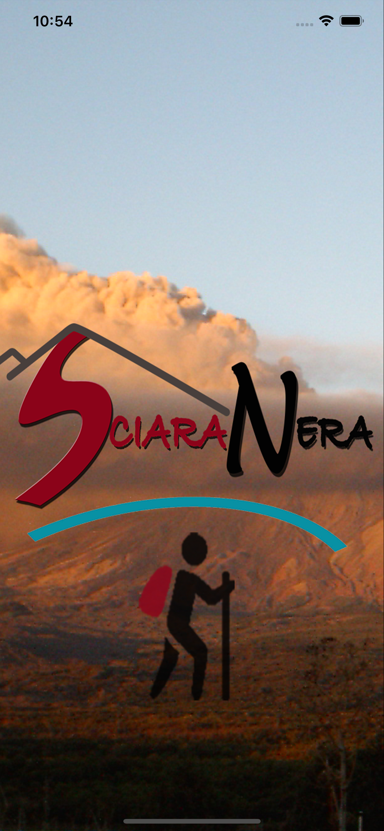
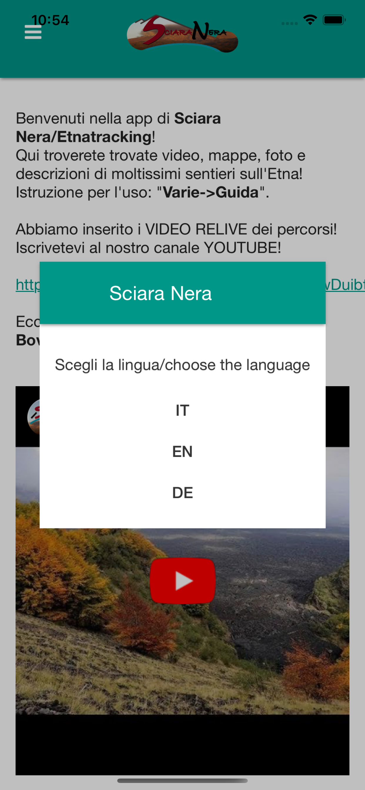
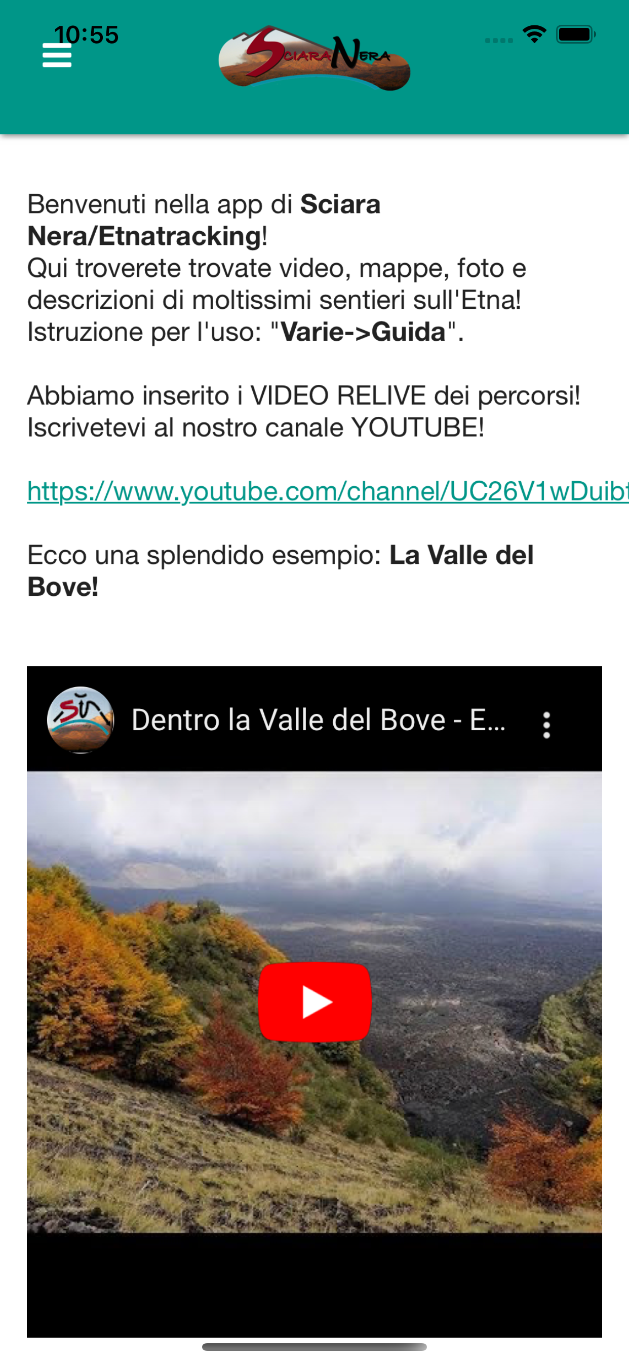
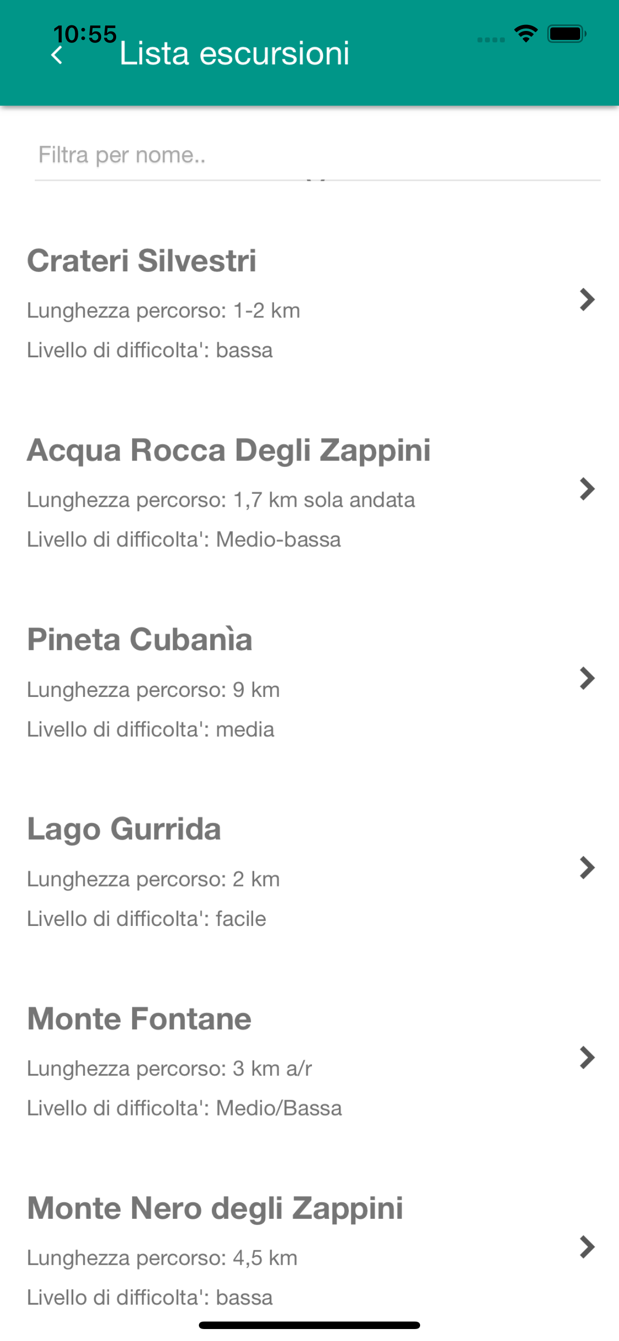
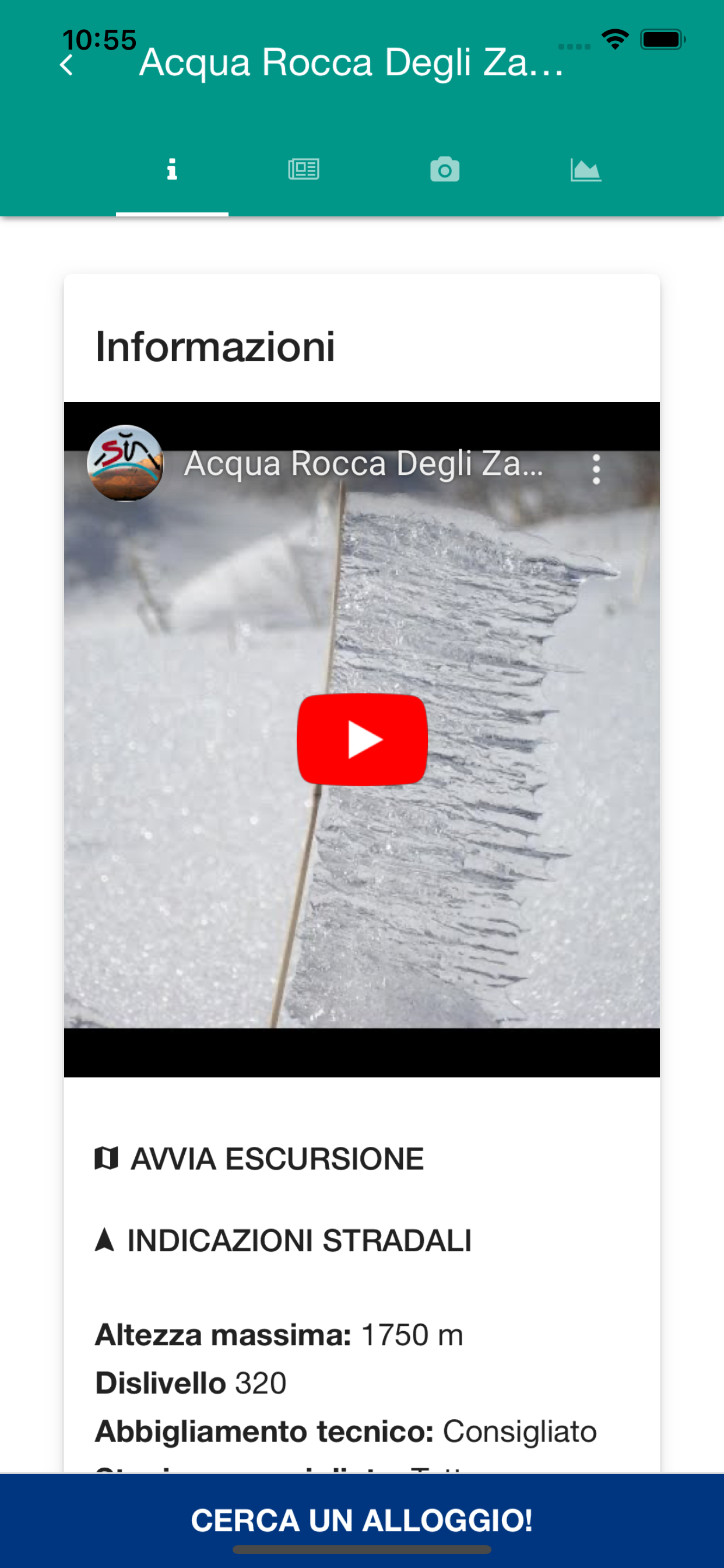
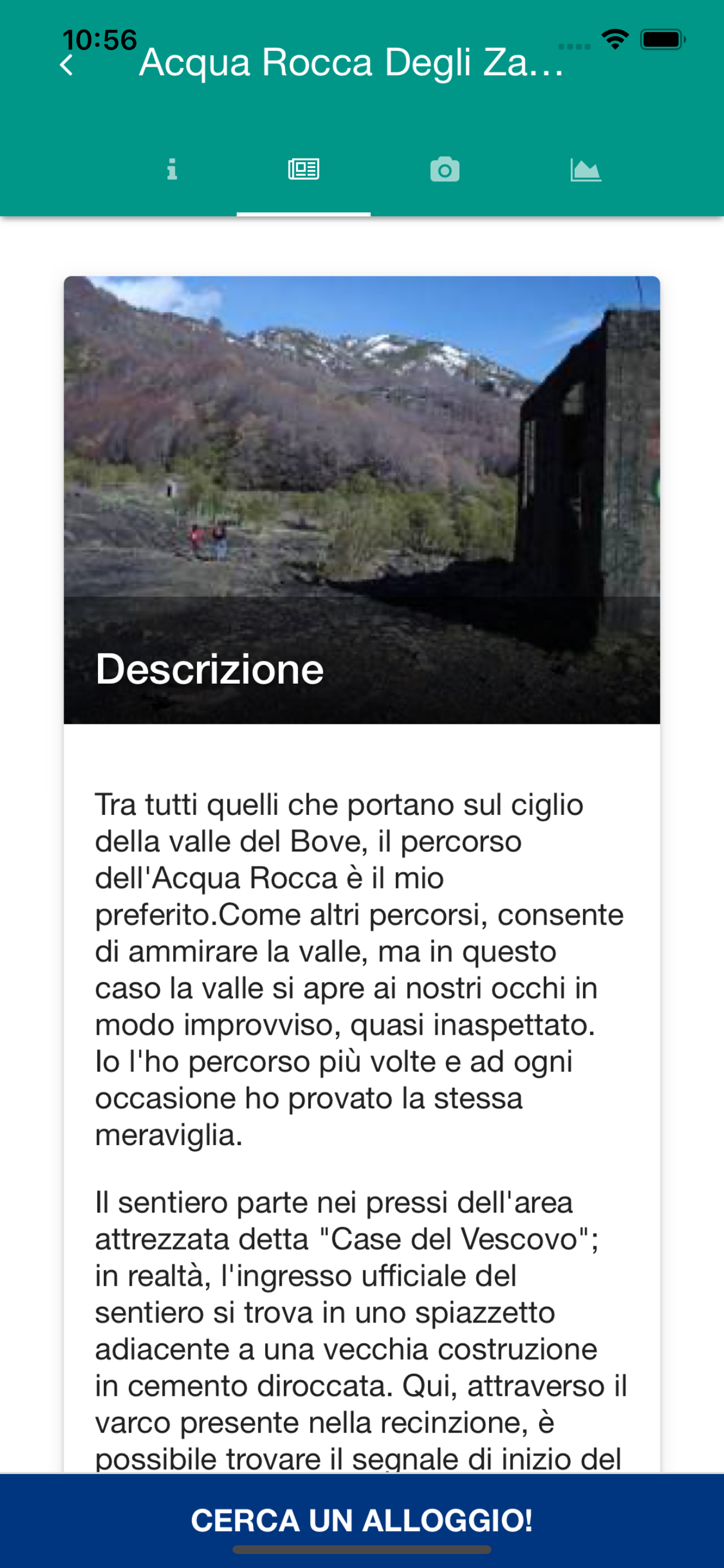
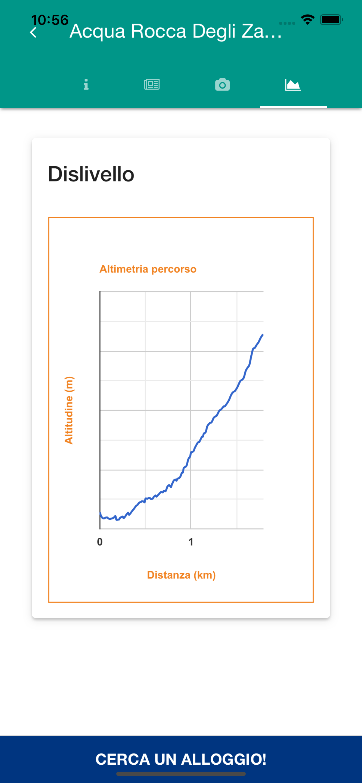
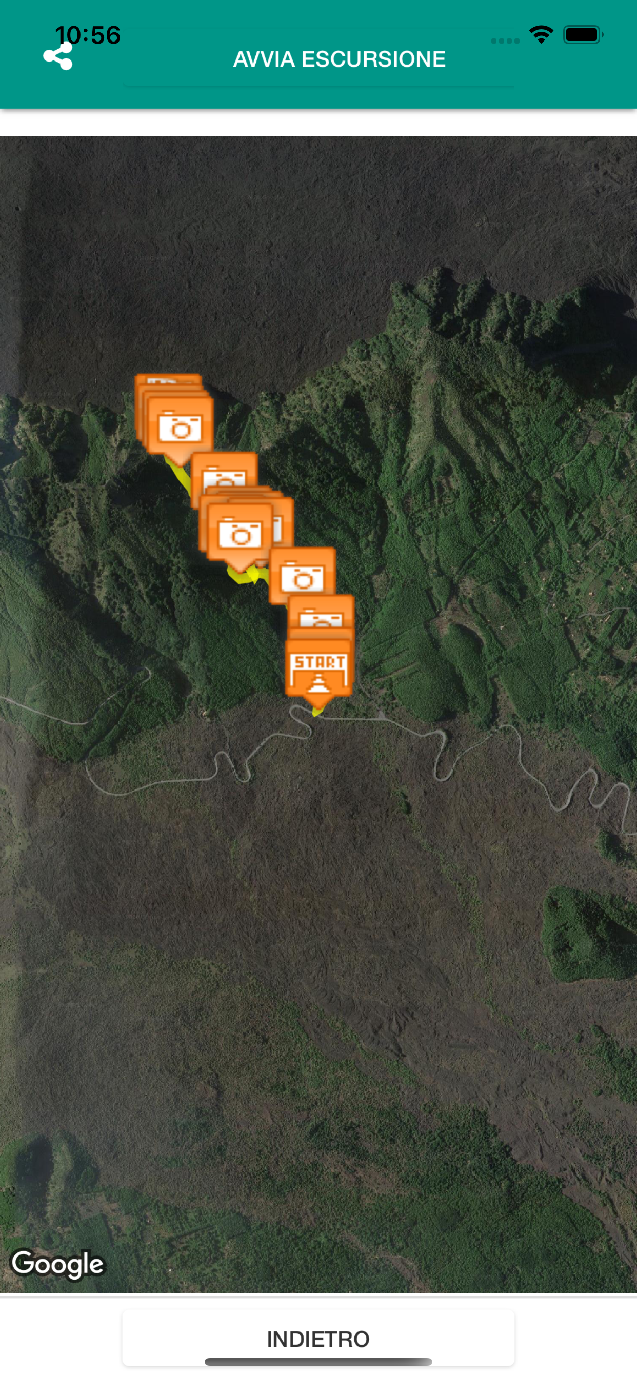
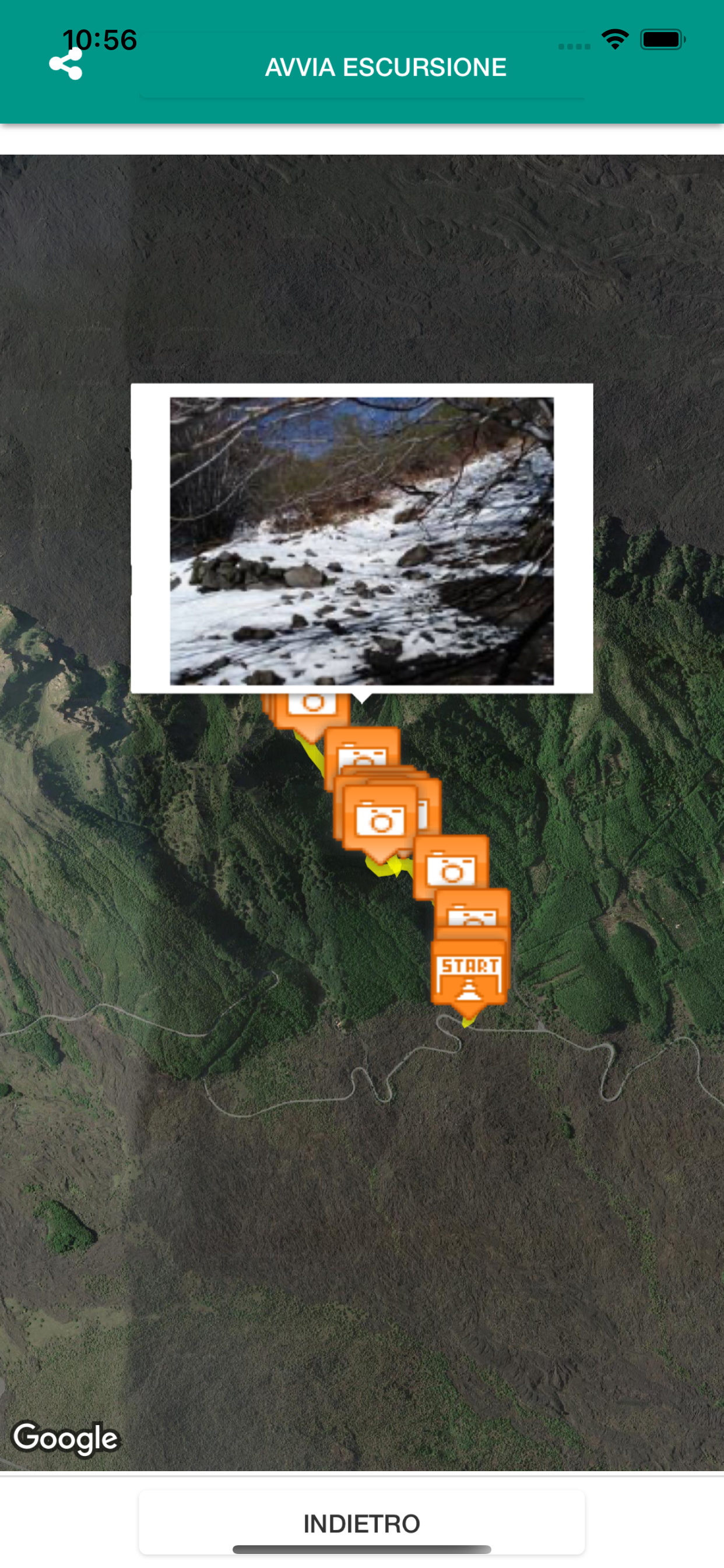
Screenshots

 User Rating
0 out of 5
0 ratings in France
Ratings History
Reviews
App doesn't have any reviews yet
Store Rankings
Ranking History
App Ranking History not available yet
Category Rankings
App is not ranked yet
Keywords
Users may also like
| Name | Reviews | Recent release | |
|---|---|---|---|

Sicile Guide de Voyage
avec Carte Offline & Tours
|
2
|
1 year ago | |

Sicily For Tourist
|
0
|
3 years ago | |

Città di Taormina
|
0
|
3 months ago | |
Outdoor Bergamo
Percorsi ed escursioni
|
0
|
11 months ago | |

Da Rifugio a Rifugio
|
0
|
2 years ago | |

N/A/
N/A/
|
0
|
2 years ago | |

estateolie2app
Eolie
|
0
|
2 weeks ago | |

Sicilia – Dormire e Mangiare
by Touring
|
0
|
1 year ago | |

Parco Etna Guida LIS
VIdeoguidaLIS Parco Etna
|
0
|
3 years ago | |

N/A/
N/A/
|
0
|
3 years ago |
Show More
Revenue and Downloads
Gain valuable insights into Mappe e sentieri dell'Etna performance with our analytics. Sign up now
to
access downloads, revenue, and more.
App Info
- Category
- Travel
- Publisher
- Bruno Grasso
- Languages
- English
- Recent version
- 11.0 (1 year ago )
- Released on
- Mar 9, 2015 (9 years ago )
- Also available in
- Italy, Poland, India, Japan, Kuwait, Mexico, Malaysia, Nigeria, Netherlands, Norway, New Zealand, Peru, Philippines, Pakistan, Israel, Portugal, Romania, Russia, Saudi Arabia, Sweden, Singapore, Thailand, Turkey, Ukraine, United States, Vietnam, South Africa, Czechia, Argentina, Austria, Australia, Azerbaijan, Brazil, Belarus, Canada, Switzerland, Chile, Colombia, United Arab Emirates, Germany, Denmark, Dominican Republic, Algeria, Spain, Finland, France, United Kingdom, Greece, Hungary, Indonesia, Ireland, China, Belgium
- Last updated
- 1 month ago