Description
Easy to use GPS functionality.
Print maps to networked printer or PDF file.
No advertisements.
Download complete maps after installation of app (no additional cost). No internet or cellular connection needed after that.
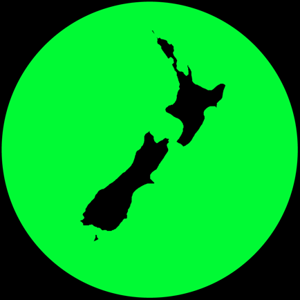
Vector maps are displayed on the fly from a database of map features. These maps scale nicely, are clear at any resolution and contain multiple layers of feature names appropriately sized to the displayed resolution. They rotate nicely and names flip to a readable orientation. Map databases are based on up to date official data obtained from Land Information New Zealand and the Department of Conservation. The topographic maps are rendered with colours similar to traditional topographic maps. The property maps are rendered with custom colors. The property map shows public property in the green / blue areas (Conservation or local body) and yellow areas (public roads). You can easily see if you are currently on private or public land.
Most other mapping apps use raster data but our map data is more compact than raster data:
Topographic maps: 1.2 GB
Property maps: 0.5 GB
Main map functions - all available offline:
• Turn on GPS logging with a simple menu touch.
• When the GPS is on see where you are on the map
• Drop a waypoint at your GPS location with a simple menu touch
• Search for a pre-loaded waypoint or track log
• Search for place name
• Search for street address
• Search by map coordinates. Can use NZTM or NZMG projections including 6 or 8 digit short coordinates and map reference if necessary. Or lat/long.
• Make a waypoint based on the above searches
• Create Goto line from current location to specified target to assist GPS navigation
• Optional voice navigation of user defined route or Goto line
• Proximity user waypoints with voice announcement.
User features (tracks and waypoints) can be added to the maps on the fly or by upload.
Main user feature functions:
• Tracks and waypoints can be imported from GPX files
• Store as many user features as you like in the user feature database.
• Waypoint created on the fly via press and hold context menu
• Move waypoint as required
• Track created on the fly via press and hold context menu and simple track drawing tools
• Track recorded by live GPS function
• Edit name, colour, notes, track format etc associated with user features
• Manage user features in bulk
• Export user features to file or iCloud.
• View profile graphs of track features.
• If online view user features on Google Earth.
Screenshots


New Zealand topo maps (Doug's) FAQ
-
Is New Zealand topo maps (Doug's) free?
Yes, New Zealand topo maps (Doug's) is completely free and it doesn't have any in-app purchases or subscriptions.
-
Is New Zealand topo maps (Doug's) legit?
Not enough reviews to make a reliable assessment. The app needs more user feedback.
Thanks for the vote -
How much does New Zealand topo maps (Doug's) cost?
New Zealand topo maps (Doug's) is free.
-
What is New Zealand topo maps (Doug's) revenue?
To get estimated revenue of New Zealand topo maps (Doug's) app and other AppStore insights you can sign up to AppTail Mobile Analytics Platform.

4.29 out of 5
7 ratings in New Zealand
New Zealand topo maps (Doug's) Reviews
Store Rankings
|
Chart
|
Category
|
Rank
|
|---|---|---|
|
Top Paid
|
|
10
|
|
Top Grossing
|
|
48
|
|
Top Paid
|
|
77
|
|
Top Paid
|

|
366
|
Keywords
New Zealand topo maps (Doug's) Competitors
New Zealand topo maps (Doug's) Installs
Last 30 days
New Zealand topo maps (Doug's) Revenue
Last 30 daysNew Zealand topo maps (Doug's) Revenue and Downloads
Sign up now to access downloads, revenue, and more.
App Info
- Category
- Navigation
- Publisher
-
Douglas Forster
- Languages
- English
- Recent release
- 3.26 (1 week ago )
- Released on
- Jul 3, 2023 (1 year ago )
- Also available in
- New Zealand, Germany, Australia, Canada, Denmark, France, United Kingdom, Ireland, Italy, Netherlands, Norway, Poland, Sweden, United States
- Last Updated
- 6 days ago