
3D Maps:Offline map GPS tracks
Navigation,hiking trails, gpx
#1 Keyword Rankings
Today
Top 10 Rankings
Today
Top 30 Rankings
Today
Top 100 Rankings
Today
Description
Detailed 2D and 3D maps, with the ability to download maps for offline navigation and comfortable traveling without Internet connection anywhere in the world!
Choose and save your routes, create a collection of tracks with waypoints, share with friends, mark interesting places on the map, download ready-made tracks and waypoints in GPX format.
Maps:
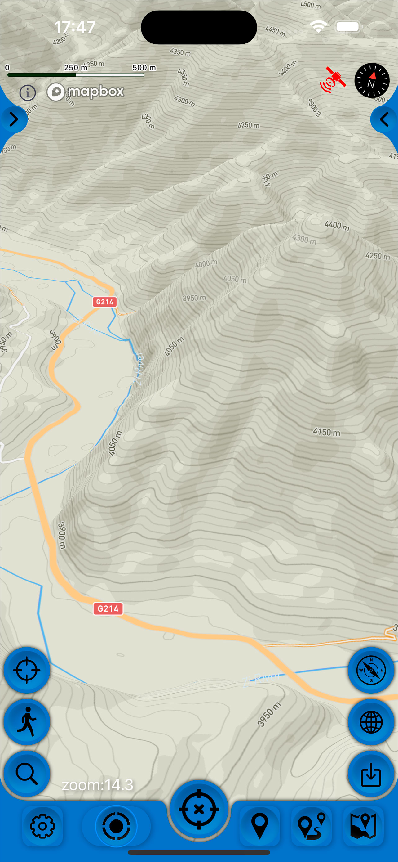
- are detailed and clear, 9 types of maps, based on MapBox data.
- have landscape and portrait orientation and switchable language of inscriptions on the map.
- map orientation modes - on the course of movement, on the head of the phone, to the north.
- display on the screen - scale, coordinates, altitude, speed, course of movement, steps traveled, time of movement when recording a track.
- ability to tilt the map by double pitch.
- 2D and 3D maps with relief contours.
- ability to customize track quality, distance filters, power saving mode.
- regularly updated with the latest changes.
Navigation:
- construction of optimal routes according to several points on the map for pedestrian, cyclist, car.
- online distance to a selected waypoint.
- determining the height of distant waypoints.
- possibility to edit waypoints.
- has a pointer to the target waypoint, with the distance to it.
- easy selection of a waypoint in several ways
- easy start and stop tracking of your current location.
- Pedometer, showing steps and distances traveled over the last 3 months.
GPX track recording:
- information during track recording: shows current distance, travel time, current speed and altitude.
- color gradient coloring of the track depending on speed and altitude for clarity
- detailed statistics on time, speed, distance and altitude in the form of graphs.
- export and import of tracks and waypoints to various services - Open Street Map and others in GPX format.
- track correction, removal of unnecessary points, restoration of speed data if the imported track did not have them, correction of track shape and binding to roads.
- quick and easy selection and viewing of saved tracks, waypoints and maps.
And there are also important tools for traveling compass, speedometer, pedometer, pedometer, altimeter, barometer, ruler.
Advanced app settings and quick start guide in the settings.
Save places you like and share them with your friends.
- Terms of service: https://appsupport.store/terms/
- Privacy policy: https://appsupport.store/
Hide..
Show more..
Choose and save your routes, create a collection of tracks with waypoints, share with friends, mark interesting places on the map, download ready-made tracks and waypoints in GPX format.
Maps:
- are detailed and clear, 9 types of maps, based on MapBox data.
- have landscape and portrait orientation and switchable language of inscriptions on the map.
- map orientation modes - on the course of movement, on the head of the phone, to the north.
- display on the screen - scale, coordinates, altitude, speed, course of movement, steps traveled, time of movement when recording a track.
- ability to tilt the map by double pitch.
- 2D and 3D maps with relief contours.
- ability to customize track quality, distance filters, power saving mode.
- regularly updated with the latest changes.
Navigation:
- construction of optimal routes according to several points on the map for pedestrian, cyclist, car.
- online distance to a selected waypoint.
- determining the height of distant waypoints.
- possibility to edit waypoints.
- has a pointer to the target waypoint, with the distance to it.
- easy selection of a waypoint in several ways
- easy start and stop tracking of your current location.
- Pedometer, showing steps and distances traveled over the last 3 months.
GPX track recording:
- information during track recording: shows current distance, travel time, current speed and altitude.
- color gradient coloring of the track depending on speed and altitude for clarity
- detailed statistics on time, speed, distance and altitude in the form of graphs.
- export and import of tracks and waypoints to various services - Open Street Map and others in GPX format.
- track correction, removal of unnecessary points, restoration of speed data if the imported track did not have them, correction of track shape and binding to roads.
- quick and easy selection and viewing of saved tracks, waypoints and maps.
And there are also important tools for traveling compass, speedometer, pedometer, pedometer, altimeter, barometer, ruler.
Advanced app settings and quick start guide in the settings.
Save places you like and share them with your friends.
- Terms of service: https://appsupport.store/terms/
- Privacy policy: https://appsupport.store/
Screenshots


 User Rating
3.75 out of 5
4 ratings in Belarus
5 star
2
4 star
0
3 star
1
2 star
1
1 star
0
Ratings History
Reviews
Loading...
Reviews are loading, wait a sec..
Store Rankings
Ranking History
Category Rankings
|
Chart
|
Category
|
Rank
|
|---|---|---|
|
Top Grossing
|

|
12
|
|
Top Grossing
|

|
22
|
|
Top Grossing
|

|
27
|
|
Top Grossing
|

|
32
|
|
Top Grossing
|

|
33
|
Keywords
Revenue and Downloads
Gain valuable insights into 3D Maps: Офлайн карты, GPS performance with our analytics. Sign up now
to
access downloads, revenue, and more.
App Info
- Category
- Navigation
- Publisher
- SERGEY BEZDENEZHNYKH
- Languages
- Spanish, German, Chinese, Korean, French, Hindi, English, Italian, Japanese, Portuguese, Russian, Turkish, Arabic
- Recent version
- 2.6.4 (2 days ago )
- Released on
- Jun 16, 2022 (2 years ago )
- Also available in
- Russia, United States, Colombia, China, India, Brazil, Turkey, Italy, Ukraine, Philippines, Canada, Germany, Kazakhstan, Saudi Arabia, Mexico, Indonesia, South Korea, United Arab Emirates, Algeria, Australia, Egypt, France, Thailand, Peru, Belarus, Portugal, Switzerland, Vietnam, Pakistan, Malaysia, New Zealand, Romania, United Kingdom, Hungary, Hong Kong, Spain, Taiwan, Sweden, Singapore, Nigeria, Netherlands, Dominican Republic, Czechia, Azerbaijan, Austria, Poland, South Africa, Norway, Lebanon, Kuwait, Japan, Israel, Ireland, Greece, Finland, Ecuador, Denmark, Chile, Belgium, Argentina
- Last updated
- 1 week ago