Doesn’t work
App stopped working after last iOS update. Not much on the app that isn’t readily available on the web.


ADK 46er Now is not free (it costs 399.00), however it doesn't contain in-app purchases or subscriptions.
Not enough reviews to make a reliable assessment. The app needs more user feedback.
The price of ADK 46er Now is 399.00.
To get estimated revenue of ADK 46er Now app and other AppStore insights you can sign up to AppTail Mobile Analytics Platform.

App stopped working after last iOS update. Not much on the app that isn’t readily available on the web.
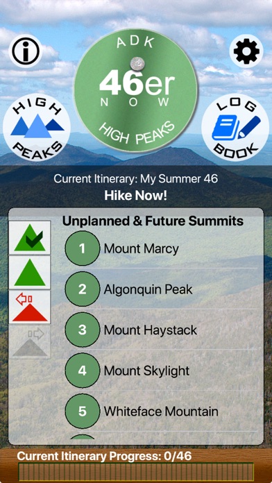
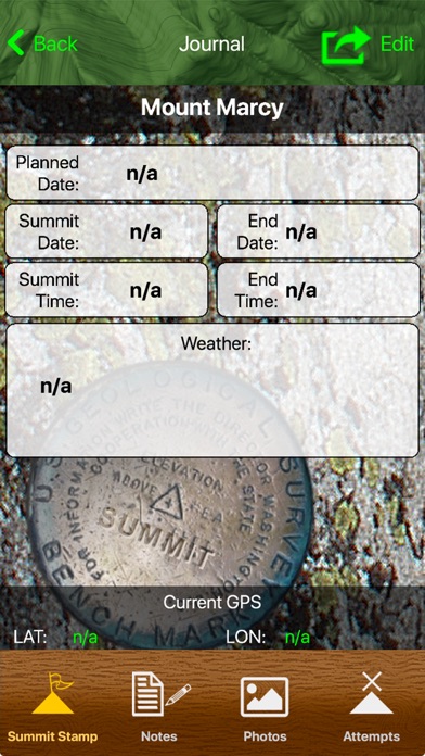
New to the high peaks, I thought this would be a "great resource". It's nothing but a list of the peaks with basic info for you to manually (albeit cumbersome) enter trip details. Don't waste your money.
Junk
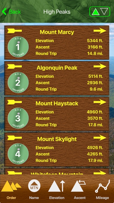
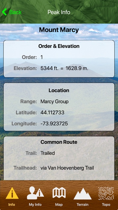
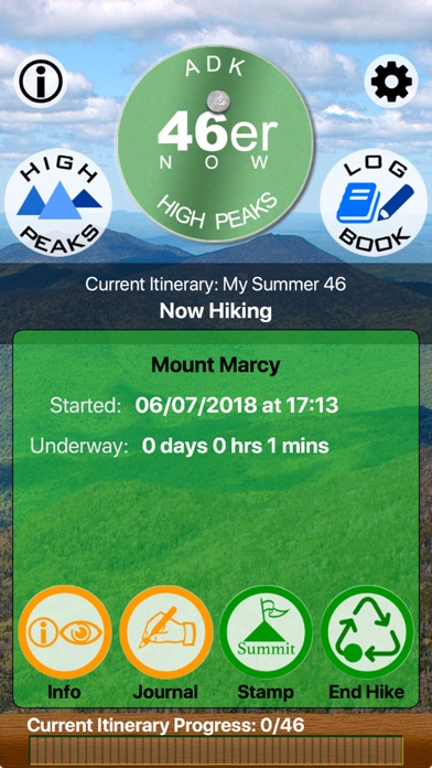
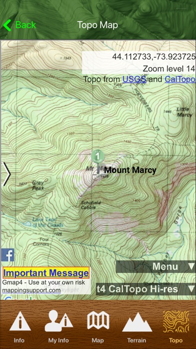
The developers took my money and ran. DON'T BUY THIS APP This app is useless in the High Peaks Wilderness. Maybe the developers shop have taken a drive up from Ithaca and tried it themselves? I have attempted to contact developers, ONE BAD ANT and still no response. I have tried this app several times while hiking the Adirondack High Peaks. Here's what it does, and doesn't do: It does not properly identify the high peaks as the applications coordinates are off by several degrees. It constantly crashes It had only let me "stamp" one summit (out of nineteen that I have tried) I quickly drains your phone battery The only thing that it's good for is that it contains a few stats about each of the peaks. As far as anything else this app is supposed to do…… IT DOESN'T WORK. The map on iPhone is more helpful. SAVE YOUR $5.00
I was in lake placid and it kept defaulting to saying " no high peaks within five miles". Really?! Seems like I could touch them. Waste of money... Wish I had it back!!! Was so annoying to be up there and not get a reliable app to let me know what I was looking at around me.
Useless
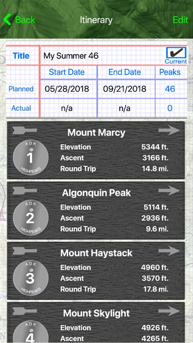
The map is slow and impossible to use. The peak identifier flat out does not work. You're essentially paying $5 for the log book (a glorified notebook) and a compass (already comes on the iPhone). Very disappointed.
This app doesn't work - I just tried to use it while climbing Lower Wolf Jaw. Useless.
|
Chart
|
Category
|
Rank
|
|---|---|---|
|
Top Paid
|

|
163
|
|
Top Paid
|

|
284
|
|
Top Paid
|

|
439
|
|
Top Paid
|

|
488
|
