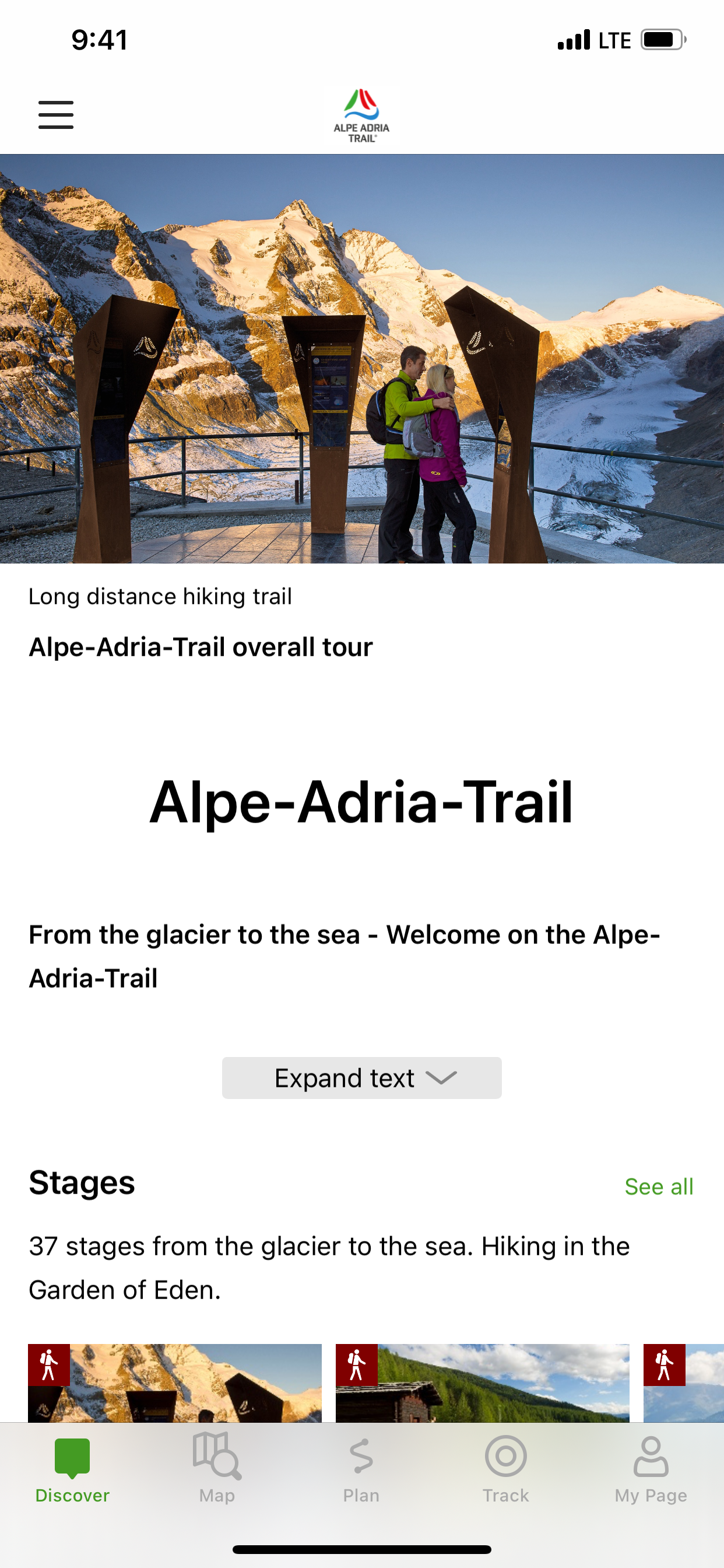
The Alpe-Adria-Trail connects the three regions of Carinthia, Slovenia and Friuli-Venezia Giulia, and covers a total of 43 stages. The long distance hiking route leads from the foot of the highest mountain in Austria, the Grossglockner, through the beautiful Carinthian mountain and lake districts near where the three countries – Austria, Italy and Slovenia – meet. The Triglav National Park, the Soča Valley, the wine-growing regions of Colli Orientali and Goriška Brda and the Karst are further unique areas you will pass before finally reaching Muggia at the Adriatic Sea.
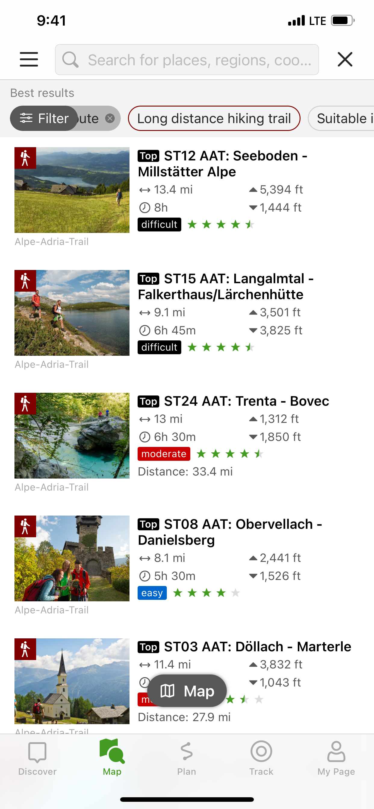
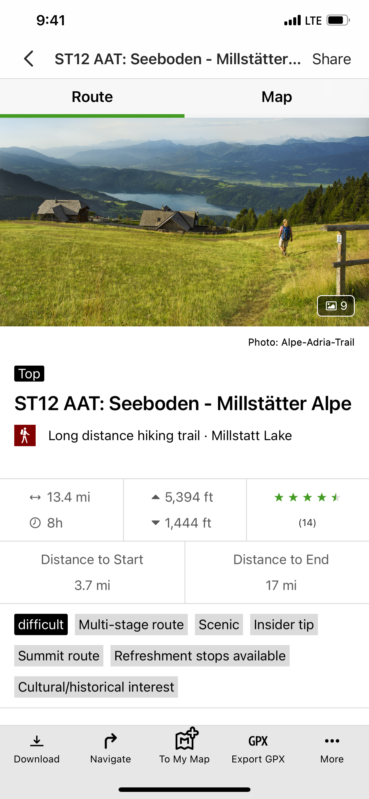
An essential component of the app is the detailed information that is provided for each stage: the course of the stages, attractions and establishments.
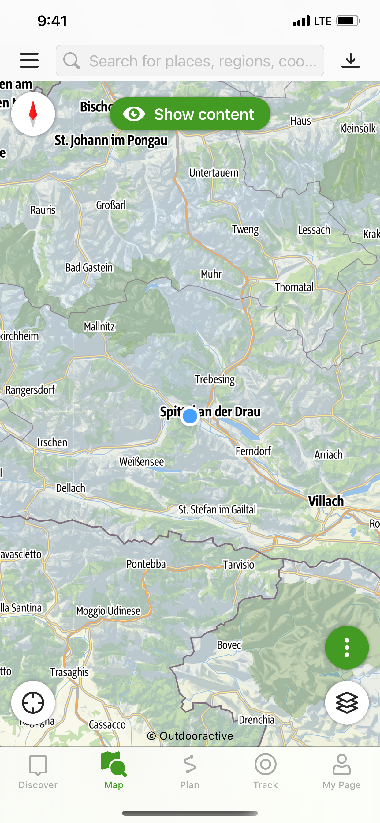
The tours/stages, including all tour details and relevant map sections, can be stored on a smartphone and can be accessed offline, if required (for example, if you are in another country, in areas with weak network coverage, or when data roaming would be too expensive).
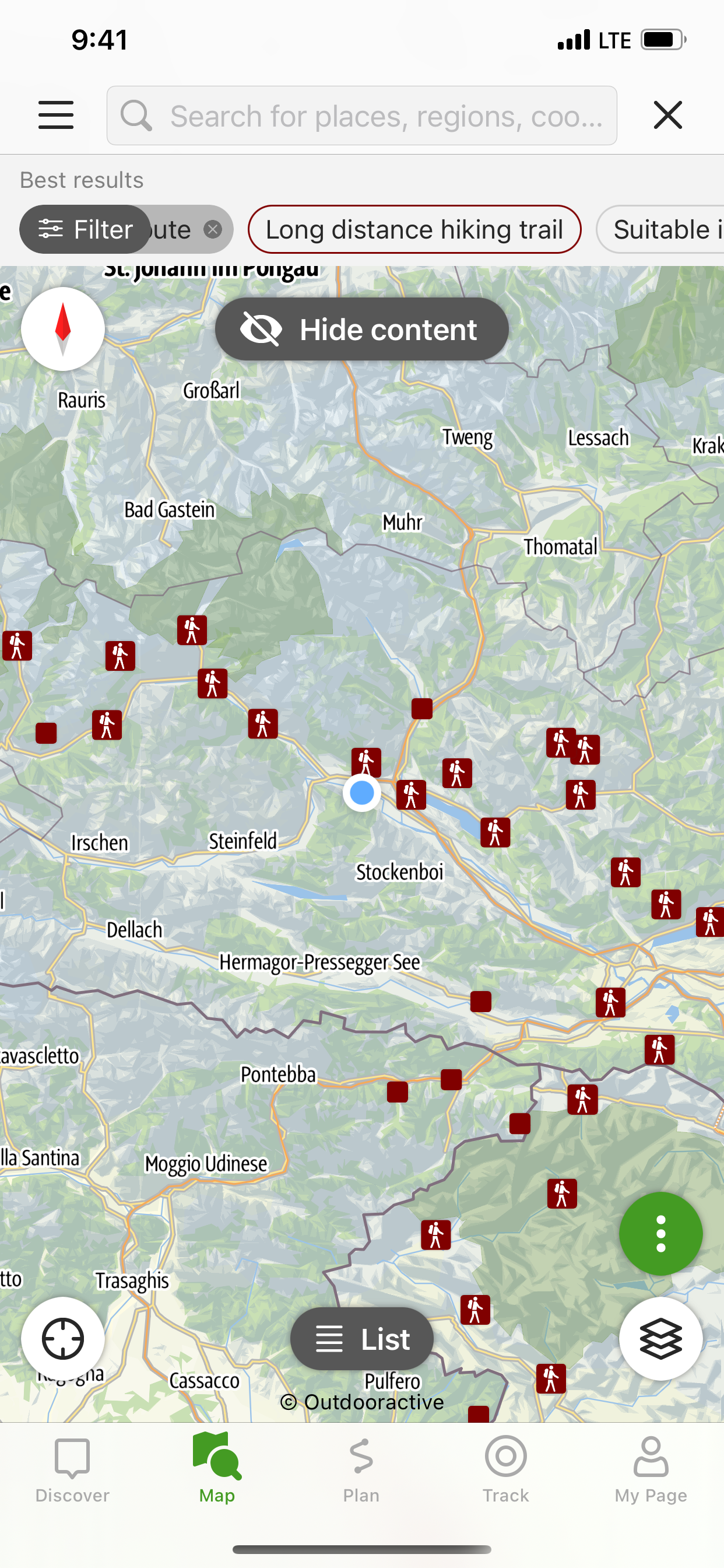
The tour descriptions contain all the facts, images and elevation profiles you might need. As soon as a tour is started, you can determine your own position (including determining which direction you are facing) easily in the topographic map and, in this way, follow the course of the route.
Please note: In other countries high roaming costs can occur, therefore, when using the app, make sure all necessary information can be accessed offline by downloading it at a flat rate or via Wi-Fi before starting your journey.
Background use of the app with activated GPS reception can drastically shorten battery life!
Apple Health:
When you record a cycling, hiking, walking or running track you are able to save work outs to Apple Health. Data from HealthKit will not be used for marketing or promotional purposes.
Hide..Show more..
Screenshots
User Rating
3 out of 5
1 ratings
in Hungary
5 star
0
4 star
0
3 star
1
2 star
0
1 star
0
Ratings History
Reviews
Could be more userfriendly
I am on the trail now and I would be very happy if the app could
1, translate the reviews. Most of the reviews are in German, which I dont speak. If would be nice to embed a “translate” button. I could not even copy the reviews into google translate as the copying is disabled.
2, show the meaning of the pictograms. I was looking for water on the trail and was not sure which is the spring pictogram.. also, it would be nice to add a layer only with places where water is available. This is crucial for a hike. I had to walk into a village on the busy main road to get some water and I realized only later that there was a spring on the trail a bit further.