
Altitude measurement
elevation, height above sea
#1 Keyword Rankings
Today
Top 10 Rankings
Today
Top 30 Rankings
Today
Top 100 Rankings
Today
Description
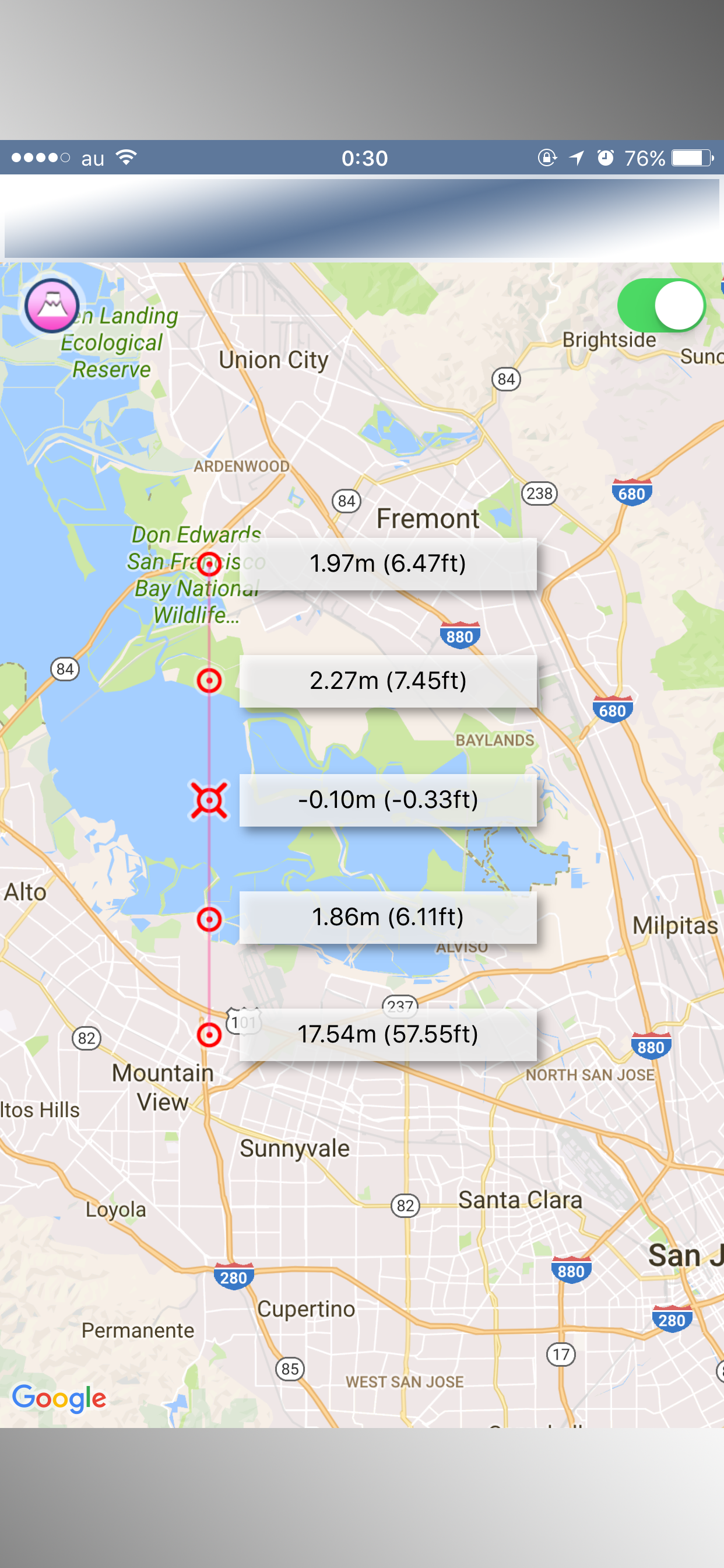
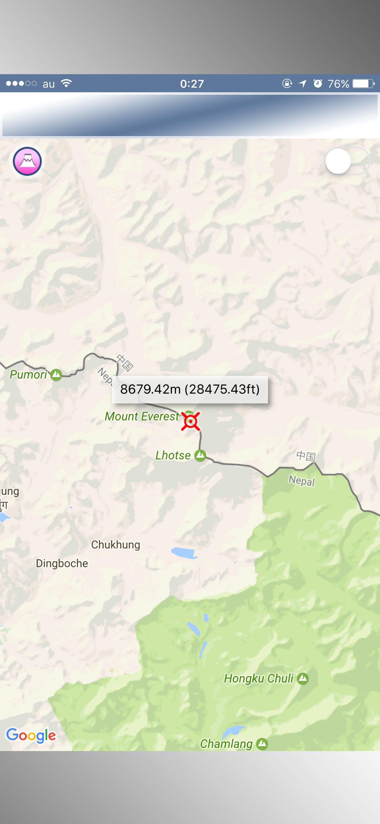
"Altitude" is an application that can display altitude (m and ft) on the map.
You can display the altitude of one place in the center on the map and you can display the altitude of five places on the straight line near the center!
[FUNCTION]
- Display the altitude of one place in the center on the map
- Display 5 altitudes on a straight line on the map
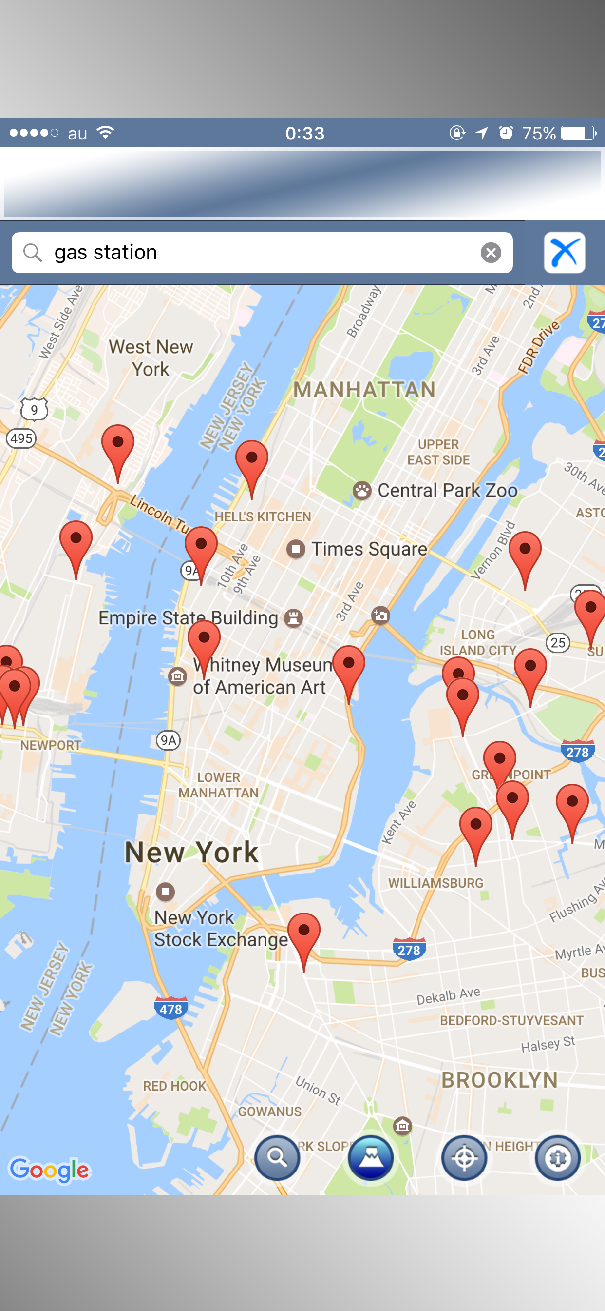
- Search
- Current location
It is an intuitive application that is easy to use.
Hide..
Show more..
You can display the altitude of one place in the center on the map and you can display the altitude of five places on the straight line near the center!
[FUNCTION]
- Display the altitude of one place in the center on the map
- Display 5 altitudes on a straight line on the map
- Search
- Current location
It is an intuitive application that is easy to use.
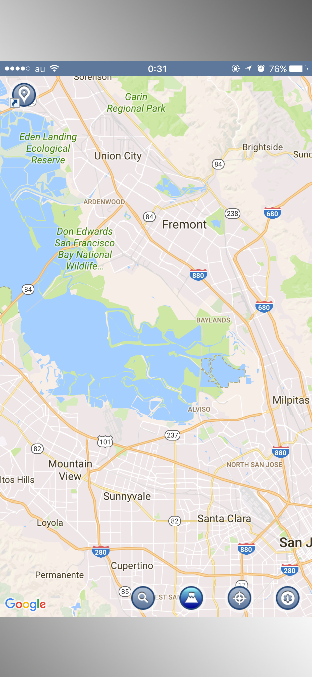
Screenshots
 User Rating
5 out of 5
2 ratings in Indonesia
5 star
2
4 star
0
3 star
0
2 star
0
1 star
0
Ratings History
Reviews
Store Rankings
Ranking History
Category Rankings
|
Chart
|
Category
|
Rank
|
|---|---|---|
|
Top Free
|

|
37
|
|
Top Free
|

|
173
|
|
Top Free
|

|
340
|
|
Top Free
|

|
375
|
|
Top Free
|

|
404
|
Keywords
Users may also like
| Name | Reviews | Recent release | |
|---|---|---|---|

Terrain Radar Altimeter
Altimeter with elevation chart
|
0
|
6 months ago | |

Altimeter GPS+ (Speedometer)
Location Tracking
|
3
|
1 year ago | |

Altimeter: Elevation, Compass
Altitude Barometer GPS Tracker
|
1
|
8 months ago | |

My Altitude and Elevation GPS
Elevation over surface.
|
0
|
5 days ago | |
|
Elevation - Altimeter Map
Find your altitude on the map
|
0
|
6 days ago | |

標高ワカール
山登り・防災のための標高測定
|
0
|
2 weeks ago | |

Altimeter GPS with barometer
Elevation Trail Map & Compass
|
5
|
3 months ago | |

Altimeter - i
|
0
|
7 months ago | |

Altimeter PRO with Compass
my current altitude app
|
0
|
1 year ago | |

Map Altimeter
Altitude Here and There
|
0
|
1 year ago |
Show More
Revenue and Downloads
Gain valuable insights into Altitude measurement performance with our analytics. Sign up now
to
access downloads, revenue, and more.
App Info
- Category
- Navigation
- Publisher
- Nanshu Kaneshiro
- Languages
- Japanese, English
- Recent version
- 1.0.6 (2 years ago )
- Released on
- Jun 23, 2014 (10 years ago )
- Also available in
- United States, Japan, United Kingdom, Saudi Arabia, France, Turkey, Taiwan, Canada, Pakistan, New Zealand, Belgium, Australia, Germany, United Arab Emirates, Malaysia, Indonesia, Philippines, Ireland, South Korea, Lebanon, Netherlands, India, Thailand, Vietnam, South Africa, Greece, Finland, Spain, Czechia, Brazil, Algeria, Switzerland, Poland, Portugal, Romania, Russia, Chile, Sweden, Singapore, Argentina, Belarus, Ukraine, Azerbaijan, Austria, Hong Kong, China, Colombia, Peru, Norway, Denmark, Nigeria, Dominican Republic, Mexico, Kazakhstan, Kuwait, Ecuador, Egypt, Italy, Israel, Hungary
- Last updated
- 3 weeks ago