Incredibly useful tool
This is one of the best tools for divers or fisherman. Cannot recommend it enough. Useful information, easy to use interface. Outstanding product.


Yes, BigBlue Offshore Fishing is free to download, however it contains in-app purchases or subscription offerings.
Not enough reviews to make a reliable assessment. The app needs more user feedback.
BigBlue Offshore Fishing has several in-app purchases/subscriptions, the average in-app price is 99.99 $.
To get estimated revenue of BigBlue Offshore Fishing app and other AppStore insights you can sign up to AppTail Mobile Analytics Platform.

4.9 out of 5
39 ratings in United States
This is one of the best tools for divers or fisherman. Cannot recommend it enough. Useful information, easy to use interface. Outstanding product.
I’ve tested and used many many fishing apps and sites looking for an edge hunting for billfish. This one is a whole new level of quality. It combines very useful navigational features with high definition ocean intel. There may be a more useful app for billfish but I haven’t found it yet. 100% recommend to all serious fishermen
It's a big ocean, and I'm tired of burning fuel trying to guess where the school we saw last week has gotten to. A buddy recently turned me onto some of the science around surface temps and bathymetry. I'm pumped to give this a try next time out. Seems really user friendly so far planning from land.
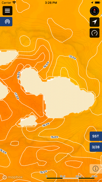
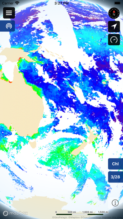
This is a great app for charting water temps and Chlorophyll density to help locate the most productive fishing waters. You have an option to select various temperature models, and the fish guide is a perfect tool to help identify the best areas to fish based on temp and chlorophyll. Save time and fuel and fish smart with this lightweight, simple, and powerful app!
GeoPelagic is an incredible tool for planning offshore trips and fishing tournament strategy. It has the best data and interface of all the fishing apps I have. The speedometer and live updating distance to waypoints are handy. The track of where I’ve been on the chart is very helpful. The premium account is definitely worth it - saves me time and fuel out there. My only complaint is that it takes a pretty experienced angler to figure out how to use it well, not for rookies but can make a good captain great. 5 stars.
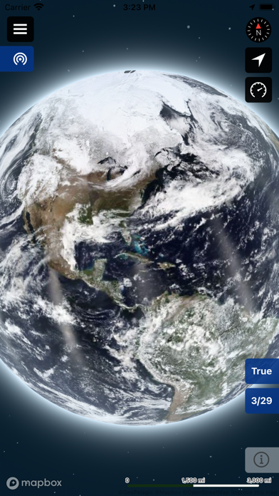
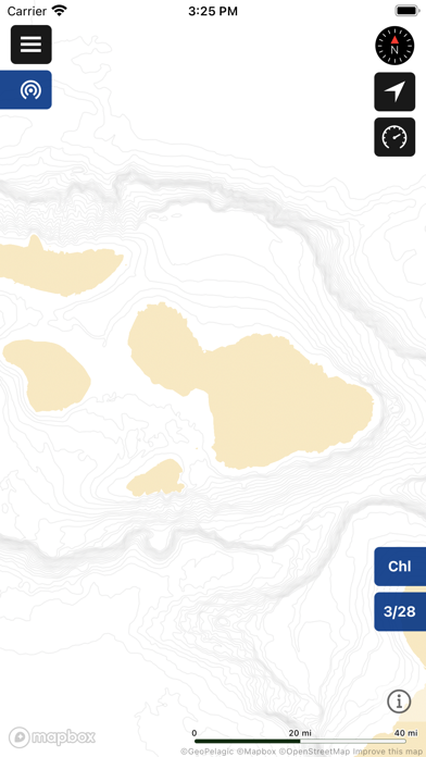
I always knew water temp was the best way to find the fish that I was seeking however with this app you can even take into account things like chlorophyll concentration and avoid areas that might be too chlorophyll dense and impacting visibility. You can chart a course in the app and can even get data for across the whole globe - other apps are limited to what regions it covers. Download it now and you’ll have the only tool you need to find the fish.
|
Chart
|
Category
|
Rank
|
|---|---|---|
|
Top Grossing
|

|
41
|
|
Top Grossing
|

|
55
|
|
Top Grossing
|

|
70
|
|
Top Free
|

|
153
|
|
Top Free
|

|
333
|
| Name | Downloads (30d) | Monthly Revenue | Reviews | Ratings | Recent release | |
|---|---|---|---|---|---|---|

CatchStat
Putting Fact to Fishing
|
Unlock
|
Unlock
|
1
|
|
1 month ago | |
|
RipCharts
|
Unlock
|
Unlock
|
24
|
3
|
11 months ago | |

SatFish Fishing App
|
Unlock
|
Unlock
|
16
|
1
|
1 month ago | |

South Jersey Tournaments
|
Unlock
|
Unlock
|
0
|
|
2 years ago | |
Lokahi Fishing
Connecting Fishermen to Fish
|
Unlock
|
Unlock
|
0
|
|
1 year ago | |

Fish On Tournaments
Fishing Tournament Management
|
Unlock
|
Unlock
|
0
|
|
2 months ago | |

FishLegal
Offline Maps - CA Fishing Laws
|
Unlock
|
Unlock
|
18
|
|
5 months ago | |

Fishdope Fishing App
|
Unlock
|
Unlock
|
9
|
|
1 month ago | |

GotOne!
A real simple fishing log app
|
Unlock
|
Unlock
|
13
|
|
1 month ago | |

Your Saltwater Guide
Game Plans, Lessons & Spots!
|
Unlock
|
Unlock
|
9
|
3
|
2 weeks ago |
