No QLD info
Disappointed that QLD information is not shown


Yes, Firesource is completely free and it doesn't have any in-app purchases or subscriptions.
🤔 The Firesource app's quality is mixed. Some users are satisfied, while others report issues. Consider reading individual reviews for more context.
Firesource is free.
To get estimated revenue of Firesource app and other AppStore insights you can sign up to AppTail Mobile Analytics Platform.

4.12 out of 5
94 ratings in Australia
Disappointed that QLD information is not shown
Keeps kicking me off
My property could burn down before this app loaded any info. Needs a lot work.
Please add the fire feeds for the Australian Capital Territory (ACT) & Tasmania. The ACT agency is Emergency Services ACT & the Tassie one is Tasmania Fire Services. Both have RSS XML feeds.
Sitting not far away from 1000s of hectares burning and the app shows a couple of spot fires. Useless
I use Firesource as one of my apps for research. It’s a nice addition to have for quick fire records.
You commented on the wrong app. This app is mediocre at best
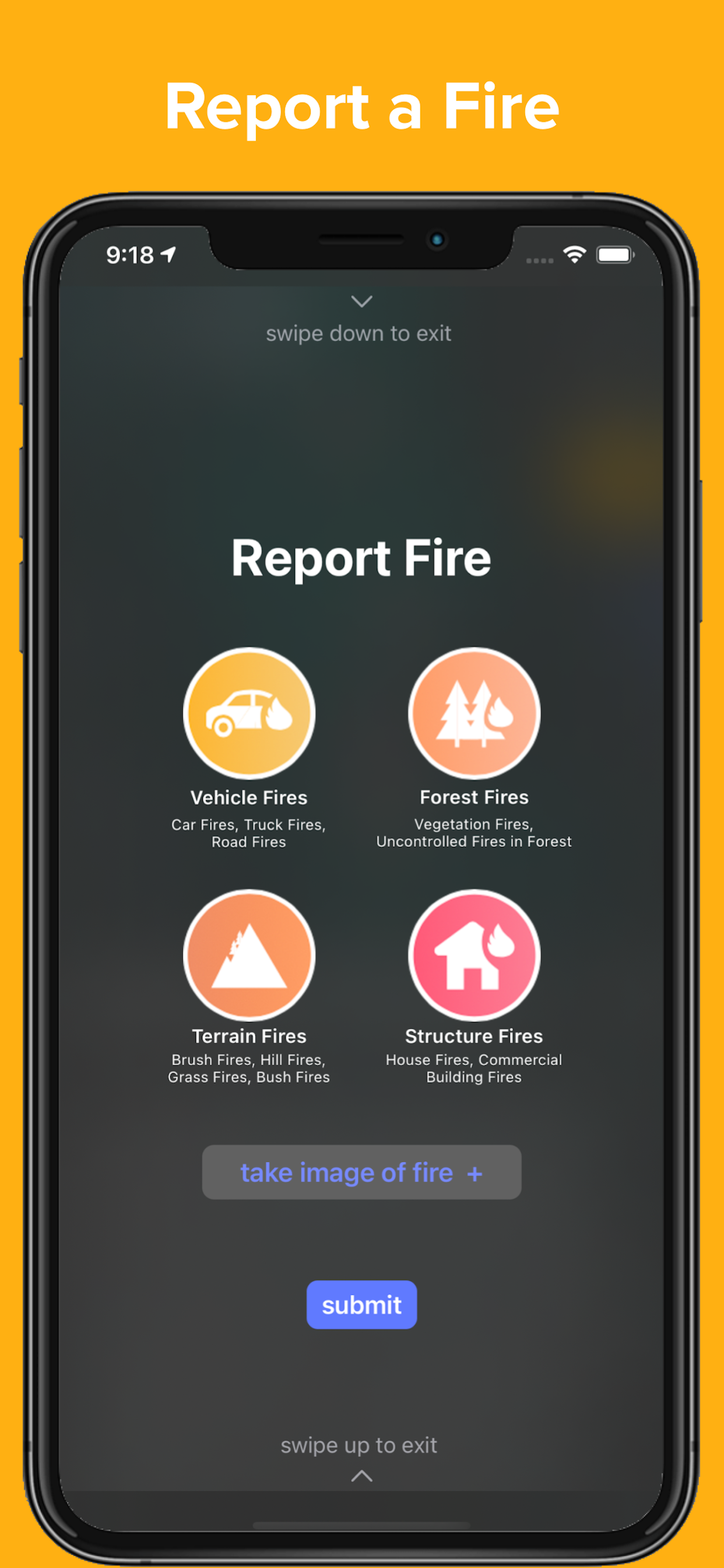
Cant report exact location or adjust location after. Stopping AT THE FIRE SITE is stupid and dangerous. Cant report without photo but you CANT ACCESS ALREADY TAKEN PHOTOS. Other than national fires this app is a joke.
As a few others have mentioned, a horizontal format would be useful. I’d also like to be able to sort the active fires by distance to my location in addition to the times the fires started. Thanks for all your work on this important app.
Need this for iPad viewing
|
Chart
|
Category
|
Rank
|
|---|---|---|
|
Top Free
|
|
23
|
