
Gascoyne Rangelands Monitoring
Description
The Gascoyne Catchments Rangelands Monitoring Tool is an application that allows pastoralists to conduct a self-assessment of their rangelands and report it back to a central repository.
It is a process of rangeland assessment that provides: perennial shrub and grass trends to monitor pasture composition and trends in range condition; monitoring for soil health, stability, infiltration rates and nutrient cycling; a method to record and assess the type and severity of rangeland erosion, and improved short term management decision on pastoral leases
The app uses a value-based approach, which removes any subjective conclusions to rangelands trends and provides a generic methodology that can be utilized by landholders.
The system classifies three components of rangeland health: Plants with each species nominated a value between 1 and 10 based on its environmental and commercial values; Soils with four soil attributes nominated a value between 1 and 10 based on their contribution to soil stability, nutrient cycling, and infiltration rates; Erosion with three main types of erosion given a negative value between 0 and -10 based on their adverse impacts on soil stability, infiltration rates and nutrient cycling.
The values when applied in the app, generate a Site Stability Index (SSI) which then becomes a benchmark for change in the site, land system, property or catchment.
Four different types of reports are capable of being produced from a property perspective.
Site report – allows you to see a graph on all historical SSIs for that specific site over the years and then drill down into each survey to see how it achieved that SSI.
Vegetation species report – by selecting a site you can then choose the vegetation species that you want to inquire about.
Land systems report – this report shows you a graph of what the SSI has been for the site over all the surveyed years.
Station report – the station report shows all the sites surveyed over the property within their SSI.
Hide
Show More...
It is a process of rangeland assessment that provides: perennial shrub and grass trends to monitor pasture composition and trends in range condition; monitoring for soil health, stability, infiltration rates and nutrient cycling; a method to record and assess the type and severity of rangeland erosion, and improved short term management decision on pastoral leases
The app uses a value-based approach, which removes any subjective conclusions to rangelands trends and provides a generic methodology that can be utilized by landholders.
The system classifies three components of rangeland health: Plants with each species nominated a value between 1 and 10 based on its environmental and commercial values; Soils with four soil attributes nominated a value between 1 and 10 based on their contribution to soil stability, nutrient cycling, and infiltration rates; Erosion with three main types of erosion given a negative value between 0 and -10 based on their adverse impacts on soil stability, infiltration rates and nutrient cycling.
The values when applied in the app, generate a Site Stability Index (SSI) which then becomes a benchmark for change in the site, land system, property or catchment.
Four different types of reports are capable of being produced from a property perspective.
Site report – allows you to see a graph on all historical SSIs for that specific site over the years and then drill down into each survey to see how it achieved that SSI.
Vegetation species report – by selecting a site you can then choose the vegetation species that you want to inquire about.
Land systems report – this report shows you a graph of what the SSI has been for the site over all the surveyed years.
Station report – the station report shows all the sites surveyed over the property within their SSI.
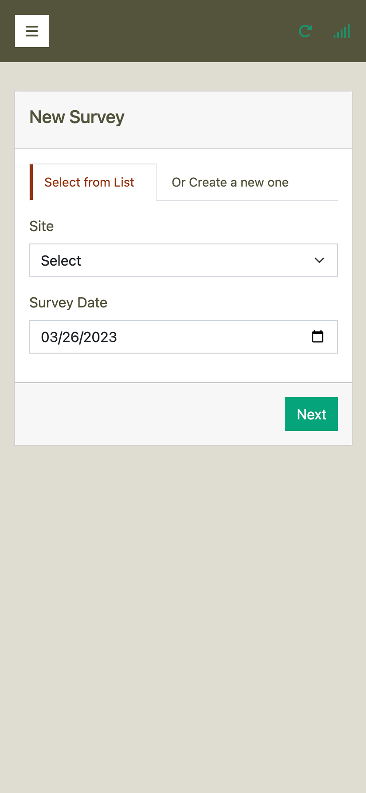
Screenshots


Gascoyne Rangelands Monitoring FAQ
-
Is Gascoyne Rangelands Monitoring free?
Yes, Gascoyne Rangelands Monitoring is completely free and it doesn't have any in-app purchases or subscriptions.
-
Is Gascoyne Rangelands Monitoring legit?
Not enough reviews to make a reliable assessment. The app needs more user feedback.
Thanks for the vote -
How much does Gascoyne Rangelands Monitoring cost?
Gascoyne Rangelands Monitoring is free.
-
What is Gascoyne Rangelands Monitoring revenue?
To get estimated revenue of Gascoyne Rangelands Monitoring app and other AppStore insights you can sign up to AppTail Mobile Analytics Platform.

User Rating
App is not rated in Australia yet.
Ratings History
Gascoyne Rangelands Monitoring Reviews
App doesn't have any reviews yet
Store Rankings
Ranking History
App Ranking History not available yet
Category Rankings
App is not ranked yet
Gascoyne Rangelands Monitoring Competitors
Gascoyne Rangelands Monitoring Installs
Last 30 days
Gascoyne Rangelands Monitoring Revenue
Last 30 daysGascoyne Rangelands Monitoring Revenue and Downloads
Gain valuable insights into Gascoyne Rangelands Monitoring performance with our analytics.
Sign up now to access downloads, revenue, and more.
Sign up now to access downloads, revenue, and more.
This page includes copyrighted content from third parties, shared solely for commentary and research in accordance with fair use under applicable copyright laws. All trademarks, including product, service, and company names or logos, remain the property of their respective owners. Their use here falls under nominative fair use as outlined by trademark laws and does not suggest any affiliation with or endorsement by the trademark holders.