コスパ最高
軽くてコスパも良いが、長く使っていると、過去ログ等の検索機能が欲しい


Yes, ジオグラフィカ is free to download, however it contains in-app purchases or subscription offerings.
✅ The ジオグラフィカ app appears to be high-quality and legitimate. Users are very satisfied.
ジオグラフィカ has several in-app purchases/subscriptions, the average in-app price is USD 12.99.
To get estimated revenue of ジオグラフィカ app and other AppStore insights you can sign up to AppTail Mobile Analytics Platform.

軽くてコスパも良いが、長く使っていると、過去ログ等の検索機能が欲しい
操作性が良く使える
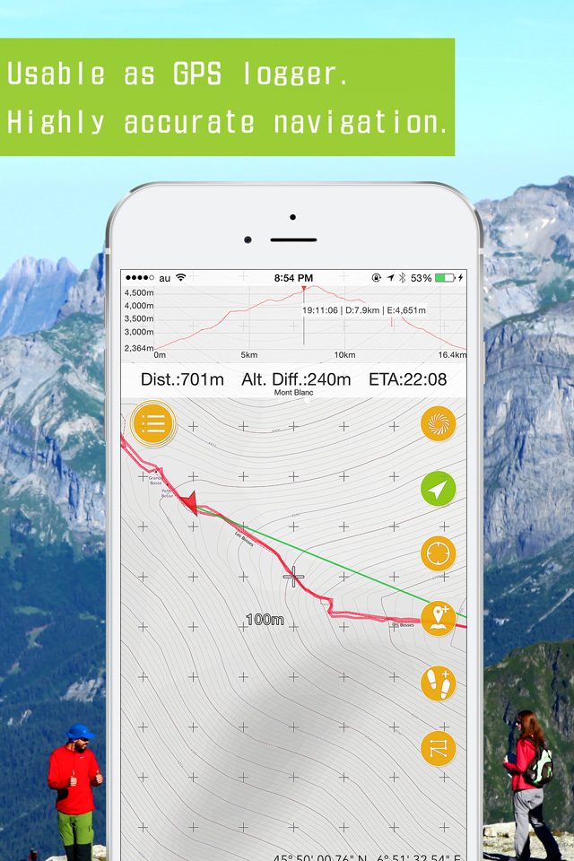
用途は山中での現在位置確認、記録用にログを取る事が中心。携帯の磁北が狂ったり、低温によるバッテリーの急激な放電など携帯由来の注意点とその対策が必要だが、アプリとしての機能は使いやすく信頼でき、他の類似アプリを使う気にならない。注意点はベースの地図(地理院地図)の道表記が古い事。ジオグラフィッカとの相性も抜群です。有料版をお使いください。
ウィジェットが消えたぞっ!
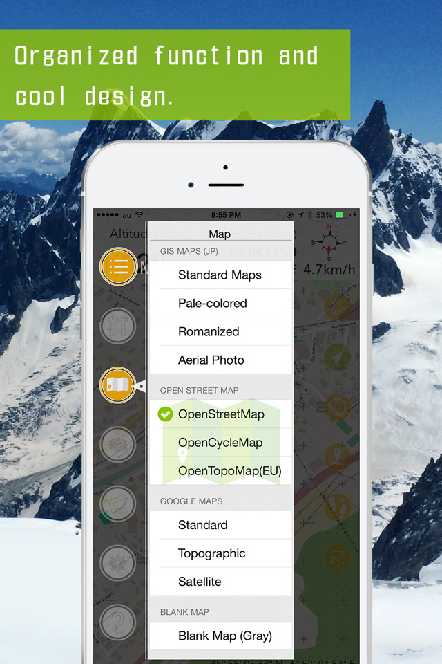
ズームを1/25000とか50000みたいな感じで、特定の縮尺に調整する機能を追加して欲しいです!何気に多分使えそうなので。
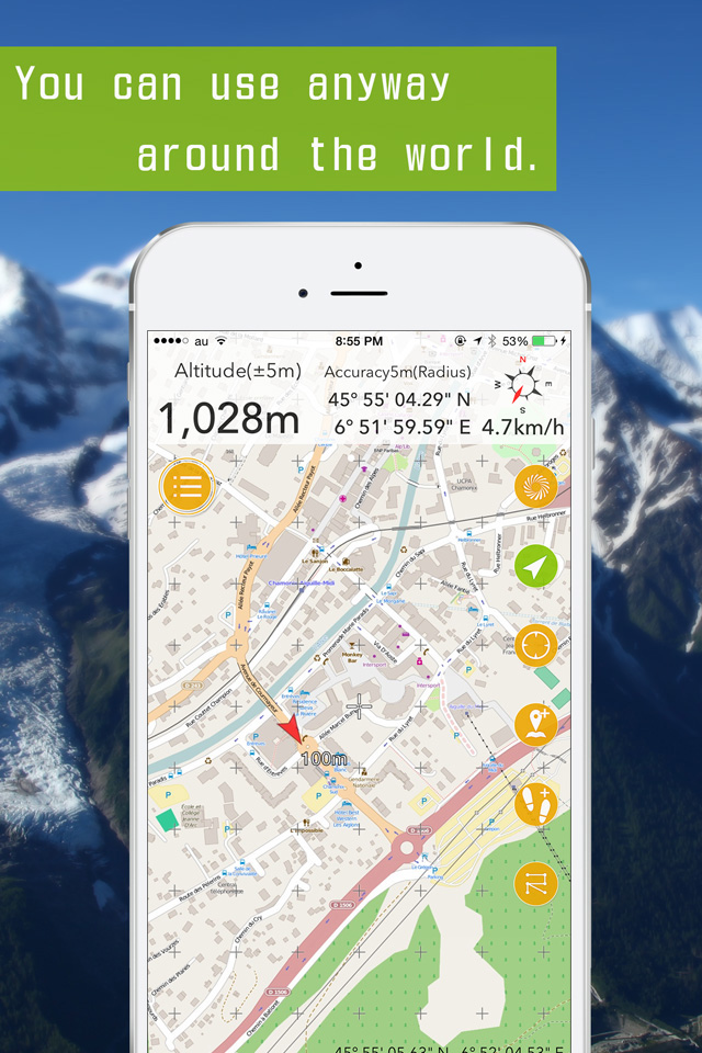
渓流釣りや山歩きで使用してます。携帯の電波が届かなくても、自分の現在地が分かるので、とても助かってます。
これ…無料…ですよね? スゴすぎないですか? 精度が高く万が一迷った場合も安心できる。 一部有料ですがお気に入りの場所を記録しておけるしルートも保存できますよね。 山や渓谷に入る時の地図アプリでは一番信頼できるアプリだと思います!
よくバグるし使えない 他のGPSアプリの方がましです
善意の塊のようなアプリです。このアプリのおかげで死なずに済んだ人は潜在的にはたくさんいるでしょう。私もその1人と思います。これからもお世話になります。
いつもこれで位置を確認してます。
|
Chart
|
Category
|
Rank
|
|---|---|---|
|
Top Grossing
|

|
40
|
|
Top Free
|
|
110
|
|
Top Free
|

|
344
|
|
Top Free
|

|
380
|
|
Top Free
|

|
424
|
