
Description
This is an application to display maps provided by Geospatial Information Authority of Japan.
Please view the following link if you want to know more about the GSI map.
http://www.gsi.go.jp/kikakuchousei/kikakuchousei40182.html
Features:
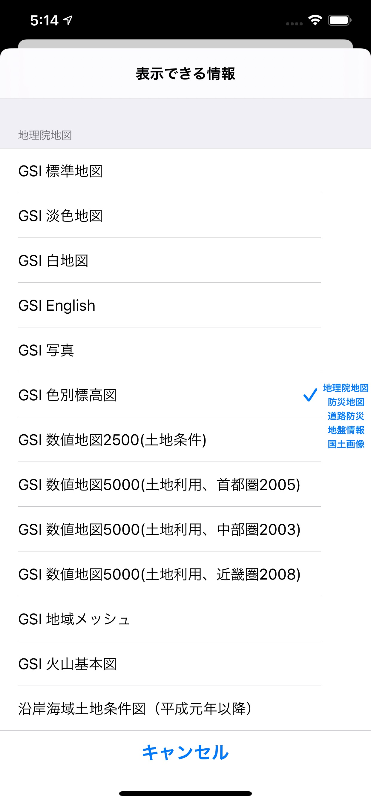
1, Can display almost all the map types published by Geospatial Information Authority of Japan.
2, Can invoke the directions function of Apple Map or Google Map in this application.
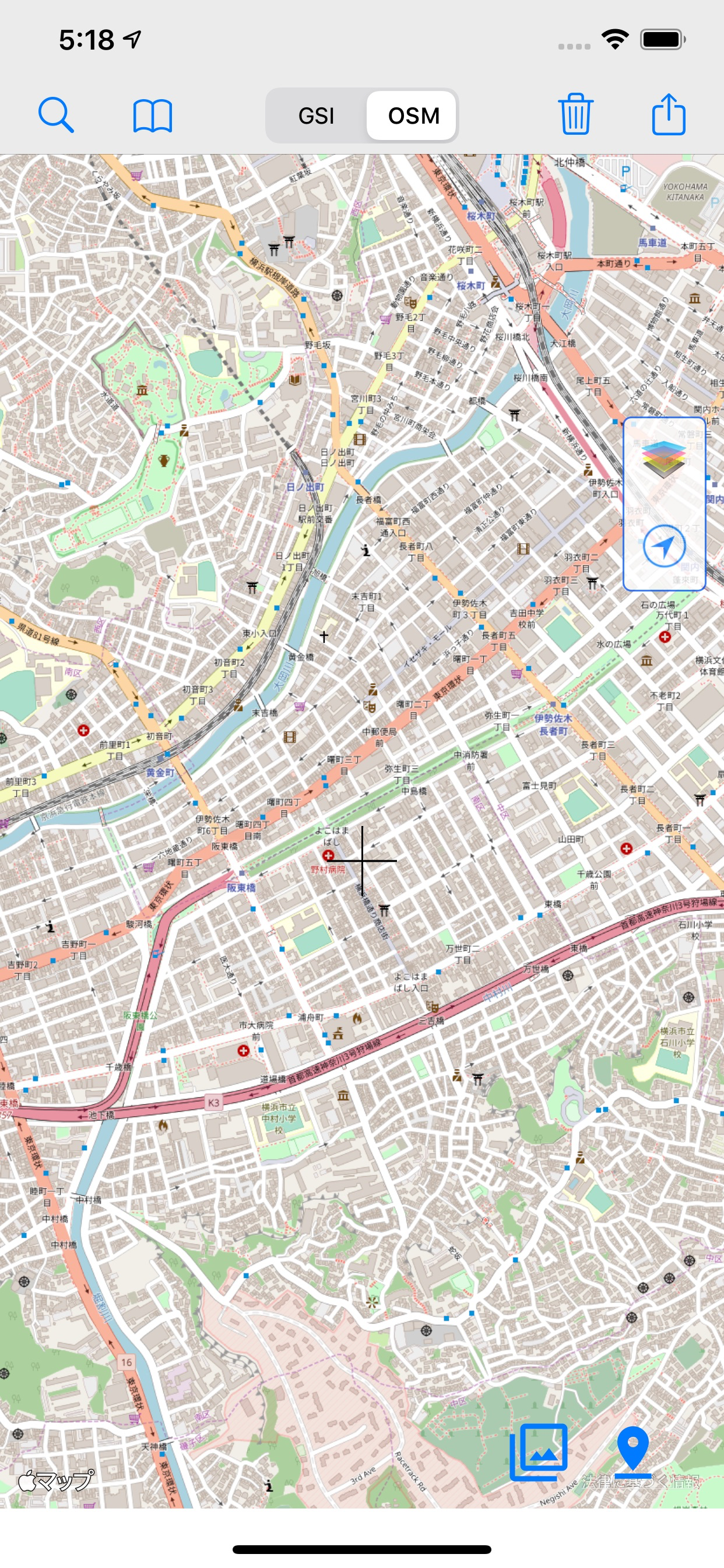
3, Can switch to OpenStreetMap for your convenience.
4, Can measure distance and area space, please select the corresponding function and tap the red pin to try.
5, Can display the location and elevation information on detail screen, also can add memo or select a photo(if photos are available on device). You can delete selected photo by long press action.
6, Can add a location point to bookmark on detail screen.
7, Background map option, changing map transparency.
8, Save history on trace mode.
9, Save tile data to local.
Notice:
1, The internet environment is a must.
2, Sometimes the display of map become slowly, because of the status of internet environment.
Disclaimer:
1, The developer take no responsibility for any result when user use this application.
2, The map displayed in this application depends on service provided by other organization, this application will out of work if this kind of service was stopped.
Hide
Show More...
Please view the following link if you want to know more about the GSI map.
http://www.gsi.go.jp/kikakuchousei/kikakuchousei40182.html
Features:
1, Can display almost all the map types published by Geospatial Information Authority of Japan.
2, Can invoke the directions function of Apple Map or Google Map in this application.
3, Can switch to OpenStreetMap for your convenience.
4, Can measure distance and area space, please select the corresponding function and tap the red pin to try.
5, Can display the location and elevation information on detail screen, also can add memo or select a photo(if photos are available on device). You can delete selected photo by long press action.
6, Can add a location point to bookmark on detail screen.
7, Background map option, changing map transparency.
8, Save history on trace mode.
9, Save tile data to local.
Notice:
1, The internet environment is a must.
2, Sometimes the display of map become slowly, because of the status of internet environment.
Disclaimer:
1, The developer take no responsibility for any result when user use this application.
2, The map displayed in this application depends on service provided by other organization, this application will out of work if this kind of service was stopped.
In-Apps
- 広告の削除(1年間)
- CHF 4.00
- 広告の削除(6ヶ月間)
- CHF 3.00
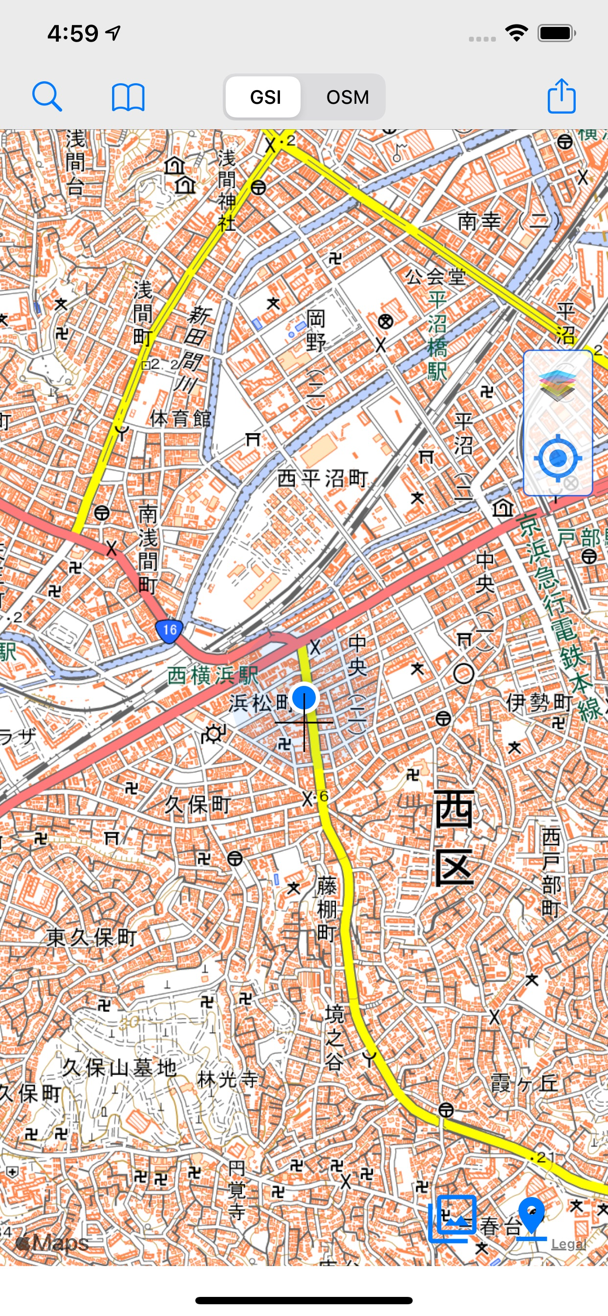
Screenshots

GSI Map++ FAQ
-
Is GSI Map++ free?
Yes, GSI Map++ is free to download, however it contains in-app purchases or subscription offerings.
-
Is GSI Map++ legit?
Not enough reviews to make a reliable assessment. The app needs more user feedback.
Thanks for the vote -
How much does GSI Map++ cost?
GSI Map++ has several in-app purchases/subscriptions, the average in-app price is CHF 3.50.
-
What is GSI Map++ revenue?
To get estimated revenue of GSI Map++ app and other AppStore insights you can sign up to AppTail Mobile Analytics Platform.

User Rating
App is not rated in Switzerland yet.
Ratings History
GSI Map++ Reviews
Store Rankings
Ranking History
App Ranking History not available yet
Category Rankings
|
Chart
|
Category
|
Rank
|
|---|---|---|
|
Top Free
|

|
495
|
GSI Map+ Installs
Last 30 days
GSI Map+ Revenue
Last 30 daysGSI Map++ Revenue and Downloads
Gain valuable insights into GSI Map+ performance with our analytics.
Sign up now to access downloads, revenue, and more.
Sign up now to access downloads, revenue, and more.
App Info
- Category
- Navigation
- Publisher
- AOBOLtd
- Languages
- Japanese, Chinese, English
- Recent release
- 3.18 (1 year ago )
- Released on
- May 28, 2015 (9 years ago )
- Also available in
- Japan, Malaysia, United Kingdom, Pakistan, South Korea, Kuwait, Kazakhstan, Lebanon, North Macedonia, Mexico, Nigeria, Netherlands, Norway, New Zealand, Peru, Philippines, Italy, Poland, Portugal, Romania, Russia, Saudi Arabia, Sweden, Singapore, Thailand, Türkiye, Taiwan, Ukraine, United States, Vietnam, South Africa, Dominican Republic, Argentina, Austria, Australia, Azerbaijan, Belgium, Brazil, Belarus, Canada, Switzerland, Chile, China, Czechia, Germany, Denmark, United Arab Emirates, Algeria, Ecuador, Egypt, Spain, Finland, France, Greece, Hong Kong SAR China, Hungary, Indonesia, Ireland, Israel, India
- Last Updated
- 1 week ago
This page includes copyrighted content from third parties, shared solely for commentary and research in accordance with fair use under applicable copyright laws. All trademarks, including product, service, and company names or logos, remain the property of their respective owners. Their use here falls under nominative fair use as outlined by trademark laws and does not suggest any affiliation with or endorsement by the trademark holders.