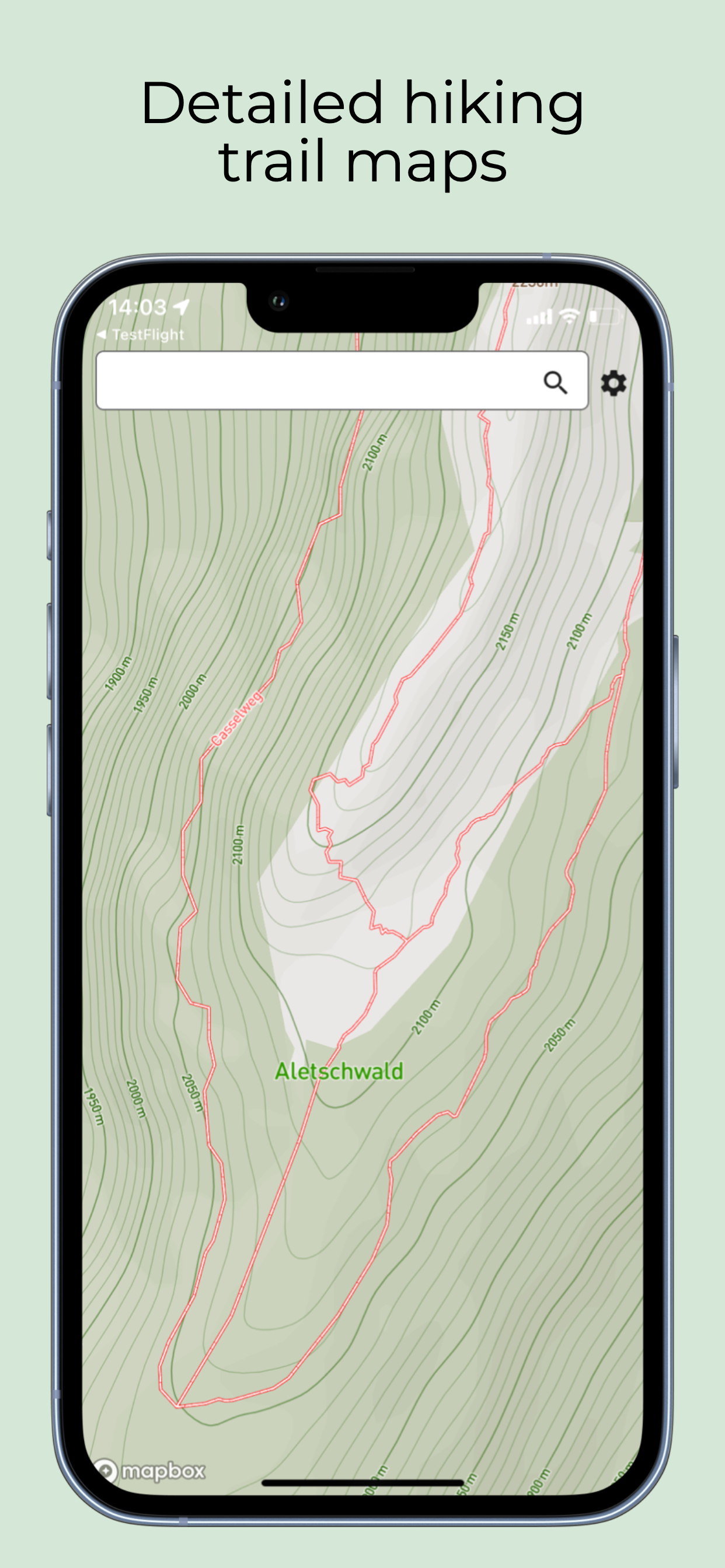
A high-resolution hiking trail map with trail labels, location, and unlimited worldwide downloads.
Please note that usage of this app requires a paid subscription, this enables us to offer high-quality, up-to-date maps.
Features include:
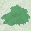
- Download unlimited map regions for offline use. Visualise your current downloaded regions so you can be sure you are prepared for your trip.
- Labeled hiking trails and location, perfect for comparing where you are with local paper trail maps.
- High-quality, up-to-date maps based on OpenStreetMap data, the best available source for hiking trails all around the world. OSM is used by many trusted hiking trail map providers (e.g. AllTrails).
- Lightweight: This app contains no tracking and no social features. It really is just a map, so you can plan your hikes without any distractions.
Please note: no map is perfect. If in doubt, trust local maps and advice. Always carry a back-up physical map.
Regions covered by this map include: Switzerland, Austria, Italy, France, UK, Canada, USA, Spain, Portugal, Germany.
Terms of Use: https://www.apple.com/legal/internet-services/itunes/dev/stdeula/
Cette appli permet de consulter les cartes Open Streetmap, et ... rien d'autre ! Je n'ai même pas trouvé de bouton pour centrer la carte sur ma position actuelle. Je ne vois pas trop l'intérêt personnellement, mais il y a peut-être un public pour ça. À noter qu'elle est payante, sans abonnement on ne peut strictement rien faire, mais il y a une période d'essai pour vous faire une idée par vous-même.