Review
Location where I am now not easy


Yes, I-Boating is completely free and it doesn't have any in-app purchases or subscriptions.
🤔 The I-Boating app's quality is mixed. Some users are satisfied, while others report issues. Consider reading individual reviews for more context.
I-Boating is free.
To get estimated revenue of I-Boating app and other AppStore insights you can sign up to AppTail Mobile Analytics Platform.

4.33 out of 5
178 ratings in United States
Location where I am now not easy
Moved recently from Florida to Utah. Have encountered a number of nautical challenges transitioning from coastal chart plotter navigation to inland lakes navigation. Garmin & Lowrance both want a fortune for their chart plotter options in both inland and coastal products. This i-boating USA app. Provides fabulous detail on both coastal and inland options for a very, very reasonable price point. Awesome option alternative to big boy price gouging for marine navigation.
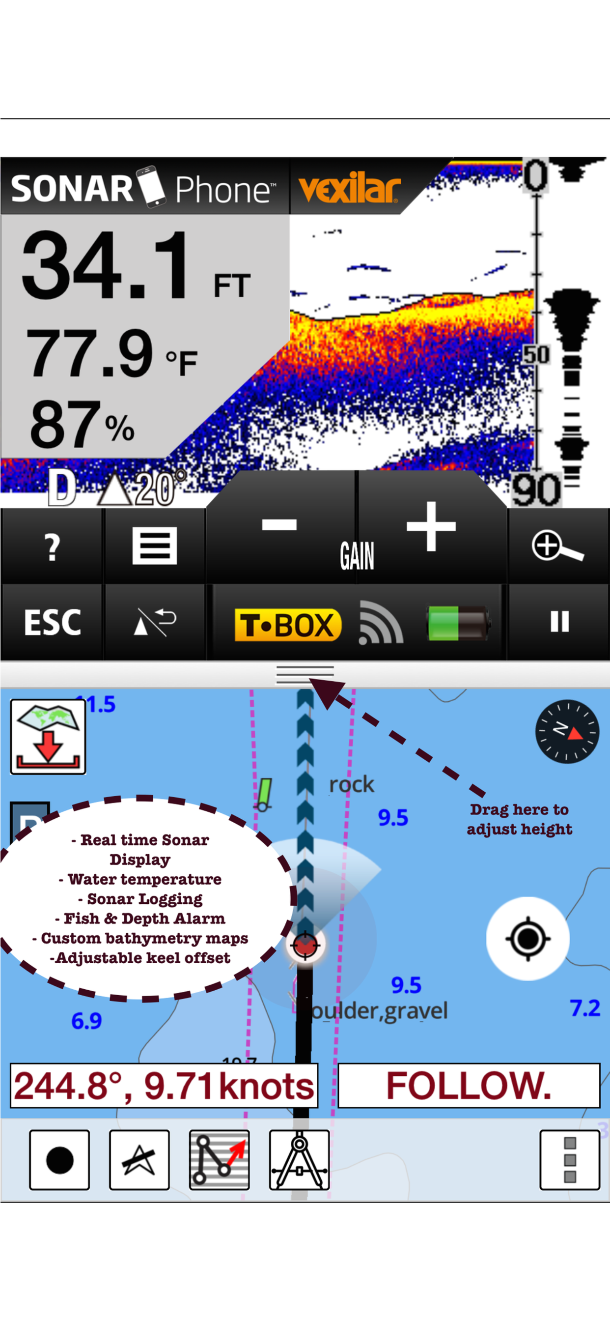
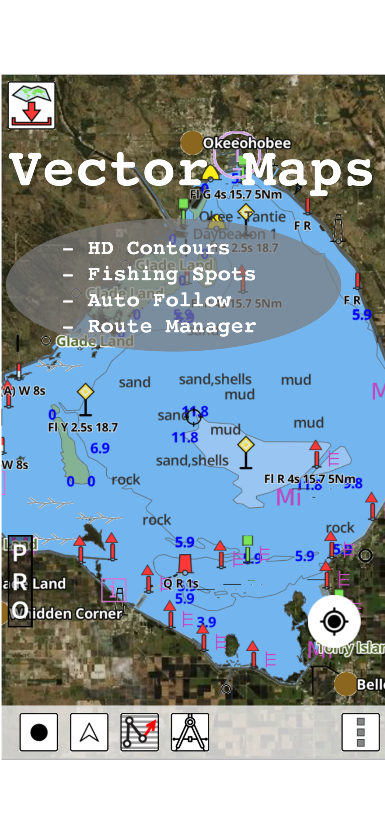
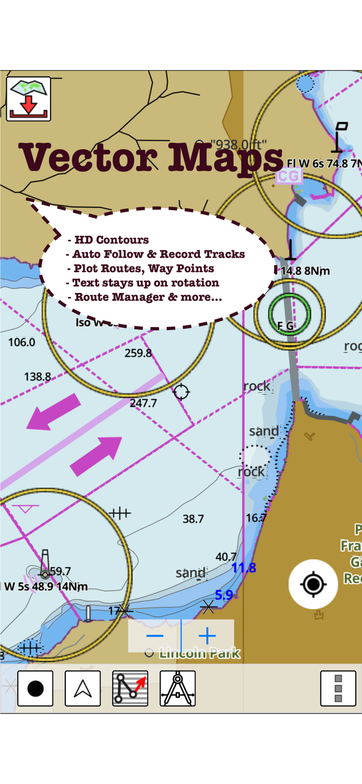
The charts are exceptional and the depth indications are great for fishing on Lake Michigan and navigating the St. Joseph river.
Just getting acquainted with this app, and I can’t compare it to other similar ones, but wow, it sure does work. 20$ for all of North America and no other costs. Works great.
Bought this for a fishing trip to Shadehill reservoir. All water depths are incorrect and this is after a dry spring. It’s only off by 20 to 28 feet so basically worthless information
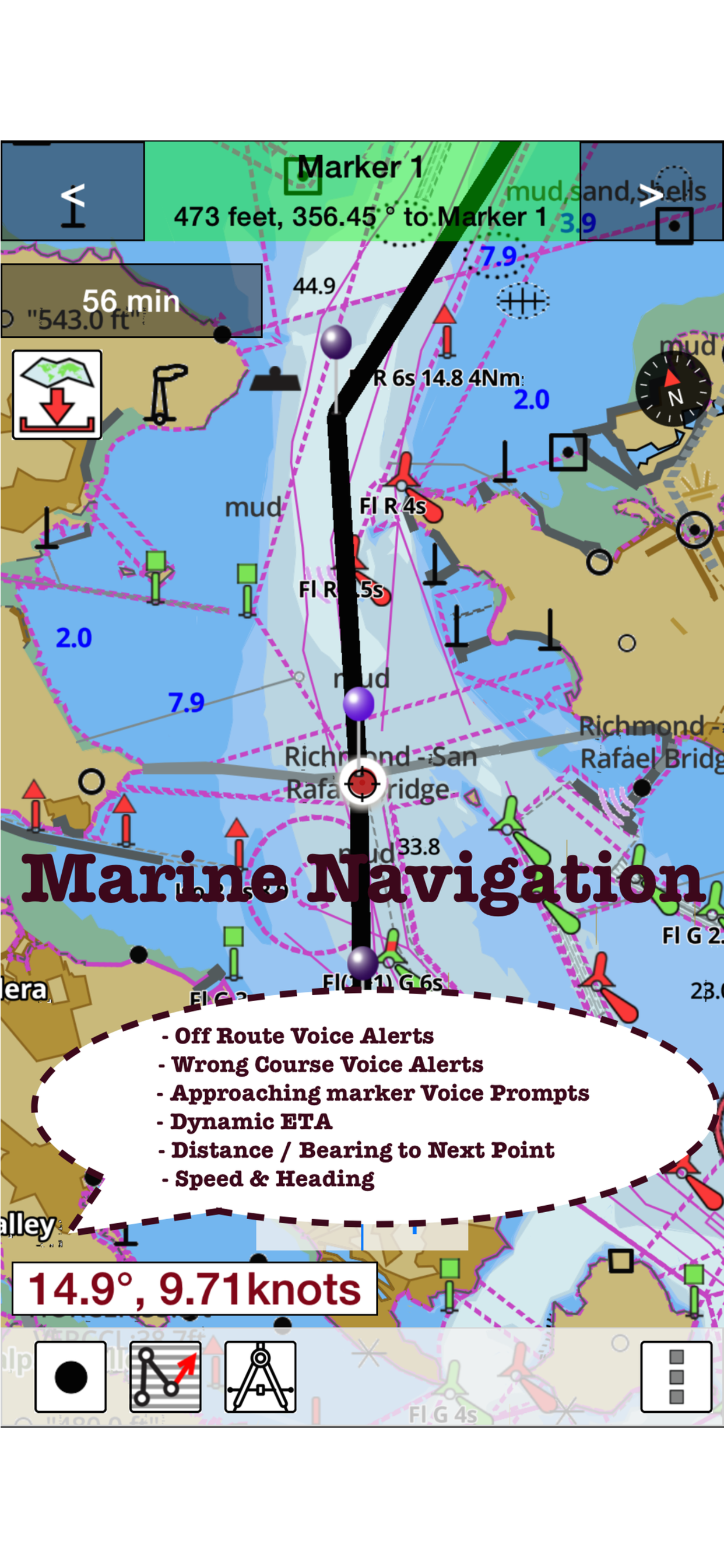
Very difficult to creat a new route
This App is a Scam none of the maps displayed are complete
it
Not very accurate
Could use some instructions.
|
Chart
|
Category
|
Rank
|
|---|---|---|
|
Top Paid
|
|
212
|
|
Top Paid
|

|
374
|
|
Top Paid
|

|
425
|
|
Top Paid
|

|
430
|
|
Top Paid
|

|
482
|
