IRMO_POCTEFA_ALERT
N/A/
#1 Keyword Rankings
Today
Top 10 Rankings
Today
Top 30 Rankings
Today
Top 100 Rankings
Today
Description
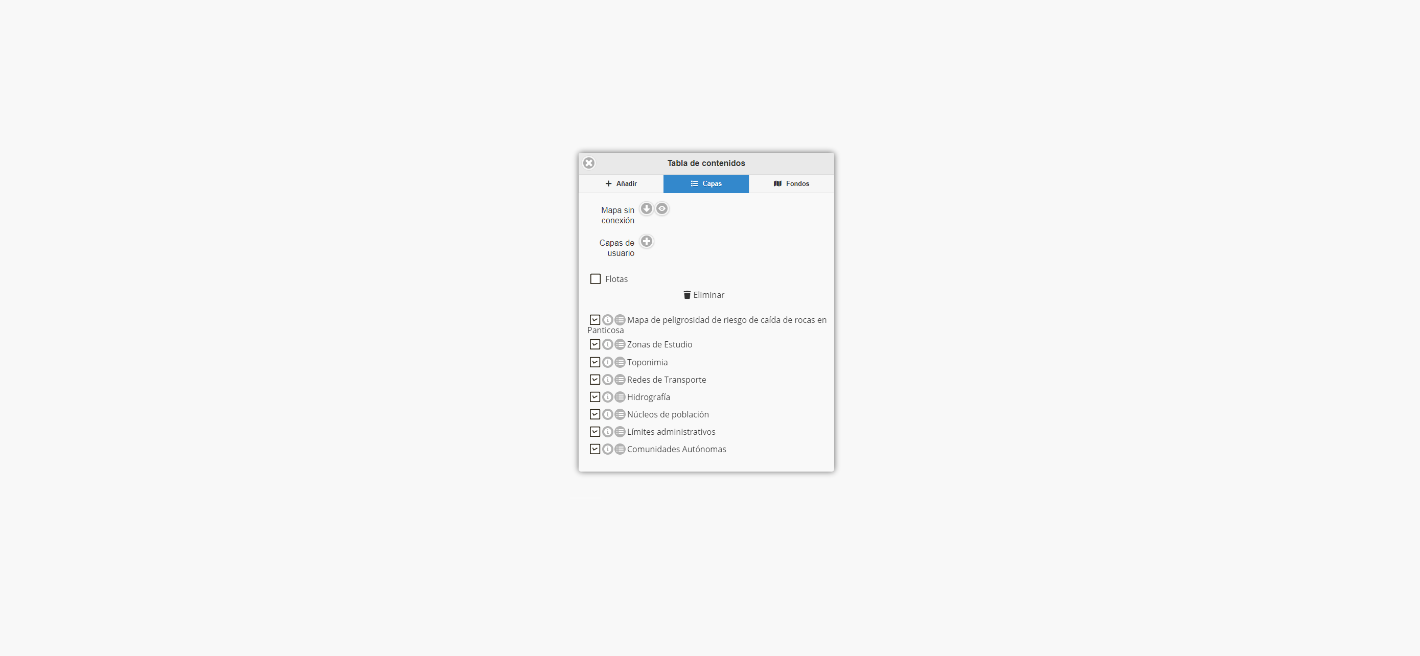
Aplicación de difusión de la Cartografía de Riesgos Naturales: Montaña Pirenaica. Proyecto POCTEFA-ALERT. Permite la búsqueda, visualización, medición de distancias, áreas y perfiles, dibujado y descarga de información geográfica de riesgos naturales asociados a la montaña pirenaica.
Screenshots
 User Rating
0 out of 5
0 ratings in United Kingdom
 Ratings History
Reviews
App doesn't have any reviews yet
Store Rankings
 Ranking History
App Ranking History not available yet
Category Rankings
App is not ranked yet
Keywords
Users may also like
| Name | Reviews | Recent release | |
|---|---|---|---|
|
País Vasco - City Guide
Travel Book for Travelers
|
0
|
3 years ago | |
|
Parque Histórico del Navia
|
0
|
2 years ago | |
|
Paraísos del Sur
|
0
|
4 years ago | |
|
Guidum
Visitas guiadas y audioguías.
|
0
|
1 week ago | |
|
Visit Jaca
|
0
|
1 year ago | |

Turismo Torla-Ordesa
|
0
|
7 years ago | |
|
Vía Aquitania
|
0
|
1 year ago | |
|
Arte Rupestre del Río Martín
|
0
|
3 years ago | |
|
Transfermuga
Information multimodale
|
0
|
2 years ago | |
|
Bedmar y Garcíez
|
0
|
1 year ago |
Show More
Revenue and Downloads
Gain valuable insights into IRMO_POCTEFA_ALERT performance with our analytics. Sign up now
to
access downloads, revenue, and more.
App Info
- Category
- Navigation
- Publisher
- Aragonesa de Servicios Telematicos
- Languages
- English
- Recent version
- 1.0.0 (2 years ago )
- Released on
- Mar 4, 2021 (3 years ago )
- Also available in
- Romania, India, Italy, Japan, South Korea, Malaysia, Netherlands, Philippines, Poland, Kuwait, Saudi Arabia, Sweden, Singapore, Thailand, Turkey, United States, Vietnam, South Africa, Argentina, Dominican Republic, Denmark, Canada, United Kingdom, Greece, Hong Kong, Australia, Azerbaijan, Ukraine, Taiwan, Brazil, Belarus, Colombia, Germany, Russia, Pakistan, Portugal, Indonesia, Ecuador, Peru, New Zealand, Spain, Nigeria, France, Mexico, Kazakhstan, United Arab Emirates, Hungary, Israel
- Last updated
- 1 month ago


