
Lima Sites Laos
#1 Keyword Rankings
Today
Top 10 Rankings
Today
Top 30 Rankings
Today
Top 100 Rankings
Today
Description
This app is about the beautiful mountains of Laos and off-road adventures. It is best to use it with Google Earth, Gaia GPS or laosgpsmap for navigation.
The Lima Sites were airfields to supply the US-allied Hmong people during the war. Since these people used to live at the top of mountains, the tracks to these places are always scenic and adventurous.
There was more than 500 airfields, mostly located on difficult terrain. To this day, we get a precise location (100 m) for a little more than 1/3 of them. We expect our users to help us to locate with precision the 2/3 were coordinates are less precise (3 km), and to enjoy the beautiful off-road Laos either in 4X4, motorbike, bicycle or hiking.
Hide..
Show more..
The Lima Sites were airfields to supply the US-allied Hmong people during the war. Since these people used to live at the top of mountains, the tracks to these places are always scenic and adventurous.
There was more than 500 airfields, mostly located on difficult terrain. To this day, we get a precise location (100 m) for a little more than 1/3 of them. We expect our users to help us to locate with precision the 2/3 were coordinates are less precise (3 km), and to enjoy the beautiful off-road Laos either in 4X4, motorbike, bicycle or hiking.
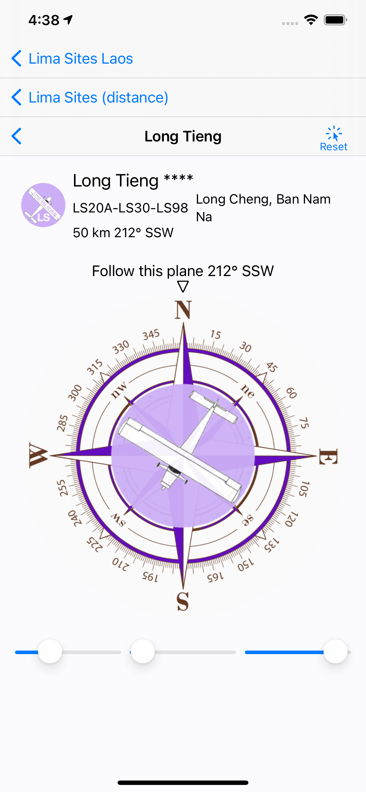
Screenshots


 User Rating
0 out of 5
0 ratings in Russia
Ratings History
Reviews
App doesn't have any reviews yet
Store Rankings
Ranking History
App Ranking History not available yet
Category Rankings
App is not ranked yet
Keywords
Revenue and Downloads
Gain valuable insights into Lima Sites Laos performance with our analytics. Sign up now
to
access downloads, revenue, and more.
App Info
- Category
- Travel
- Publisher
- Pierre Chaillet
- Languages
- English
- Recent version
- 1.1.1 (1 year ago )
- Released on
- Jul 20, 2021 (3 years ago )
- Also available in
- United States, Belgium, Switzerland, Germany, France, United Kingdom, Ireland, Italy, South Korea, Netherlands, Philippines, Russia
- Last updated
- 1 month ago