
Description
The VitaliaPure app makes booking your appointments even easier. You're just a few taps away from feeling good and looking great!
With our App, you can:
* Book your next appointment 24/7
* Meet our team and choose your favourite
* Keep a record of your appointments
* Register and manage your account
And More
Hide
Show More...
With our App, you can:
* Book your next appointment 24/7
* Meet our team and choose your favourite
* Keep a record of your appointments
* Register and manage your account
And More
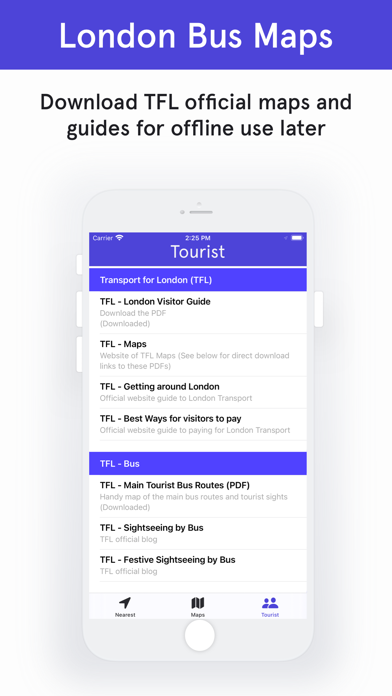
Screenshots


London Bus Maps FAQ
-
Is London Bus Maps free?
Yes, London Bus Maps is completely free and it doesn't have any in-app purchases or subscriptions.
-
Is London Bus Maps legit?
Not enough reviews to make a reliable assessment. The app needs more user feedback.
Thanks for the vote -
How much does London Bus Maps cost?
London Bus Maps is free.
-
What is London Bus Maps revenue?
To get estimated revenue of London Bus Maps app and other AppStore insights you can sign up to AppTail Mobile Analytics Platform.

User Rating
App is not rated in Ecuador yet.
Ratings History
London Bus Maps Reviews
Store Rankings
Ranking History
App Ranking History not available yet
Category Rankings
App is not ranked yet
Keywords
London Bus Maps Competitors
London Bus Maps Installs
Last 30 days
London Bus Maps Revenue
Last 30 daysLondon Bus Maps Revenue and Downloads
Gain valuable insights into London Bus Maps performance with our analytics.
Sign up now to access downloads, revenue, and more.
Sign up now to access downloads, revenue, and more.
App Info
- Category
- Travel
- Publisher
- Brian Clear
- Languages
- English
- Recent release
- 15.0.0 (10 months ago )
- Released on
- Mar 11, 2022 (3 years ago )
- Also available in
- United Kingdom, France, Norway, Italy, Ukraine, Algeria, Armenia, Brunei, Pakistan, Romania, Argentina, Greece, South Africa, Malta, Lithuania, Uzbekistan, Bahrain, United Arab Emirates, Austria, Belgium, Brazil, Canada, Chile, China, Colombia, Czechia, Germany, Denmark, Dominican Republic, Ecuador, Egypt, Spain, Finland, Hong Kong SAR China, Hungary, Indonesia, Ireland, Israel, India, Japan, South Korea, Kazakhstan, Lebanon, Mexico, Malaysia, Netherlands, New Zealand, Peru, Philippines, Poland, Portugal, Russia, Saudi Arabia, Sweden, Singapore, Thailand, Türkiye, Taiwan, United States, Vietnam, Australia, Slovakia, Luxembourg, Nepal, Iceland, Nigeria, Switzerland, Cyprus, Croatia, Estonia, Belarus, Azerbaijan, Slovenia, Bulgaria, Tunisia, Kuwait
- Last Updated
- 4 months ago
This page includes copyrighted content from third parties, shared solely for commentary and research in accordance with fair use under applicable copyright laws. All trademarks, including product, service, and company names or logos, remain the property of their respective owners. Their use here falls under nominative fair use as outlined by trademark laws and does not suggest any affiliation with or endorsement by the trademark holders.