Maptech iPlot
#1 Keyword Rankings
Today
Top 10 Rankings
Today
Top 30 Rankings
Today
Top 100 Rankings
Today

Description

Maptech iPlot - Real Time Chart Plotting App

The Maptech iPlot app is simple to use chart plotter app that utilizes many of the same routing functions that Maptech uses in their digital software. The iPlot uses the same NOAA nautical charts you are familiar with from Maptech chart plotting programs such as Offshore Navigator, Chart Navigator Pro, Sea Ray Navigator and i3 Navigator. Plan routes, place marks, and easily zoom and scale charts with your fingers. The iPlot features a smooth and fast chart quilting engine that makes going from one chart to the other seamless. Once the app and charts are downloaded no data connection is required for operating the iPlot app.

The Maptech iPlot App purchase includes all US small scale planning charts which can be downloaded from the Chart Download page within the app. To accurately navigate with the Maptech iPlot App you will need to purchase a region of charts for your area of interest. These chart regions can be download from within the app itself from the Chart Download page at an additional cost of $9.99 each. All charts are updated every January and neither the app or the charts require a subscription fee nor will they ever expire.

Features include:

Uses NOAA Raster Charts (RNCs)
Full US Chart Coverage available
Lightning fast chart quilting engine
Unlimited custom routes and marks creation
Index of all routes and marks
Place Mark at vessel function for MOB or an anchor alarm
Instant waypoint with a touch of the finger
Full route list of all waypoints showing instant DTW, BTW and ETA to each
Full mark list showing instant DTW, BTW and ETA to each
Reverse route function
Easy method for inputting your already created routes
Unique route steering by highway display page
Adjustable waypoint arrival time
Easy to read data windows for COG, SOG, HDG, BTW, RTW, XTE
Easy locate vessel button
Orientations include heads up, north up, look ahead
Choose bearings True or Magnetic
Import/Export from Offshore Navigator
Maptech facilities
WIFI AIS targets

Chart Regions:
Region 02 - Block Island, RI to the Canadian Border
Region 03 - New York to Nantucket and Cape May, NJ
Region 04 - Chesapeake and Delaware Bays
Region 06 - Norfolk, VA to Florida including the ICW
Region 07 - Florida East Coast and the Keys
Region 08 - Florida West Coast and the Keys
Region 10 - Puerto Rico and the U.S. Virgin Islands
Region 12 - Southern California: Point Arena to the Mexican Border
Region 13 - Lake Michigan
Region 14 - San Francisco to Cape Flattery
Region 15 - Pacific Northwest: Puget Sound to the Canadian Border
Region 17 - Mobile, AL to the Mexican Border
Region 22 - Lake Superior and Lake Huron (U.S. Waters)
Region 24 - Lake Erie (U.S. Waters)
Region 26 - Lake Ontario (U.S. Waters)
Region 30 - Southeast Alaska
Region 32 - South Central Alaska: Yakutat to Kodiak
Region 34 - Alaska: The Aleutians and Bristol Bay
Region 36 - Alaska: Norton Sound to Beaufort Sea
Region 40 - Hawaiian Islands and U.S. Territories

If your iPad was purchased with the ability to subscribe to a data plan from your provider, it already has a built in GPS and does not require a Wi-Fi or external GPS to navigate with the iPlot app. You can tell this easily by looking at the top display bar to see if you have the indicator bars for cell strength, if you do then you have a GPS built in. If not, your iPad does not have a built in GPS and you will need to turn on location services and Wi-Fi capability to receive your location to navigate with the iPlot app. However, if you plan on using this outside of urban areas where there is no location services network, you will lose the ability to track your position. It is highly recommended that if you plan on using the Maptech iPlot for real time navigation and your unit is one without a GPS that you use it with an external plug in or bluetooth GPS. We recommend the Bad Elf GPSs. We also recommend Snow Lizard Products iPad cases which have optional Bad Elf GPS receivers built in.
Hide.. Show more..

In-Apps

Region 2 2015
$9.99
Region 3 2015
$9.99
Region 4 2015
$9.99
Region 7 2015
$9.99
Region 8 2015
$9.99
Region 99 2015
$0.00
Region 99 2017
$0.00
Region 8 2014, Size: 195MBs
$9.99
Region 99 2018, Size: 292MBs
$0.00
Region 99 2019, Size: 292MBs
$0.00

Screenshots

User Rating

2.4 out of 5

5 ratings in United States

5 star
1
4 star
1
3 star
0
2 star
0
1 star
3

Ratings History

Reviews

Can’t download updated charts

Boater63 on

The app tells me there is an update to the chart I purchased, but doesn’t give a download option, all I can do is delete.

Best Nav App Ever

Kevin - Newport, RI on

I have used many navigation apps over the years and thought I was using the best one until a friend asked me to help him take his boat down to Hilton Head. His primary chart plotter died and he pulled out his iPad and started using Maptech iPlot. I was surprised at the amount of features it had and even more surprised on the ease of use. I have never used an easier navigation app before. I especially liked that it used the NOAA raster charts. I enjoyed using it so much I bought it and am using myself now.

Nice

austin_law on

Seems like a fairly useful navy app however I did not realize before downloading that they are NOT offering Bahama's coverage.

Real Charts

Captain TMS on

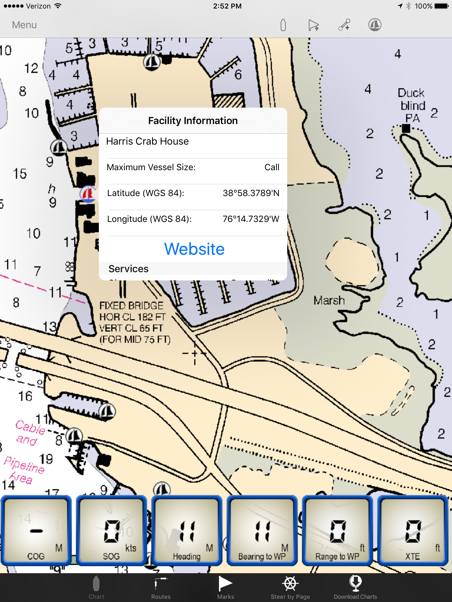
Thank you Maptech. Finally a Navigation App that use the updated NOAA raster charts! The other vector chart apps on the market lack the detail and accuracy provided by the original NOAA source charts. I like the ease of your seamless chart manipulation and the smart zooming and scaling. I like the simplicity of creating routes and i also like the Steer To screen with with range and bearing to waypoint. I hope that the next version of your App will have the ability to display the Maptech 3D bottom contour charts?

Bay Sailor

Cabo Wabo Girl on

My husband and I are weathered sailors and have tried many of the new navigatin apps for our ipad 4. We were happy to find out Maptech has this app. We use the Maptech paper chartbooks as well as their PC programs and have come to rely on them for all our navigation needs. This app quilts the Maptech charts without any seems. It is easy to operate and handles routes and marks better than any app or program we have ever used. We would like to see the next version import our routes from our Maptech Chart Nav Pro program, let's hope they are working on that.

Not Ready for Prime Time

Rocker Ronnie on

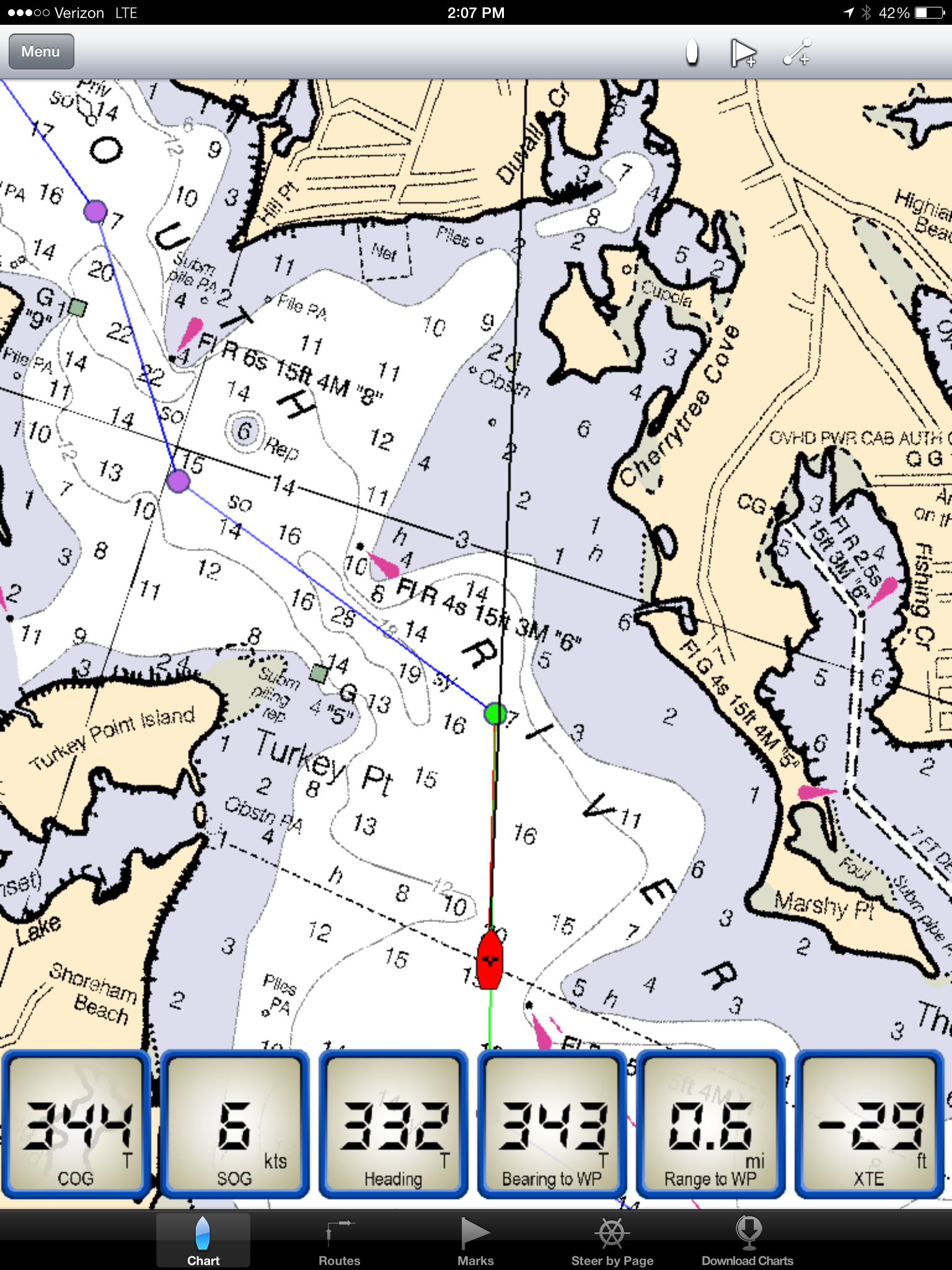
This is nowhere near the level of Navionics. It's cheaper, but not a good value. I saw it at the Annapolis Sailboat Show last weekend and bought it for a feature I like that Navionics doesn't have. That's the dashboard, which shows COG, SOG, and XTRK, time to next WP, etc., which I can use when racing. But this thing isn't stable. The maps are crude downloads of free US charts. They jump around. It's not a smooth app. Maybe I'll be able to use it in the limited context of a few race waypoints. It's inspired me to write to Navionics and ask them to add a racing module, maybe they'd charge ten bucks for that. But this app isn't the solution to your cruising chart needs. Get Navionics or Garmin BlueChart.

Problems With App Result of iPad OS

Jeff McGuiness on

Functionality has improved significantly as Apple has corrected its OS. Using this with an iPad Air.

Great navigational tool

Capt Toby on

"This is what I have been looking for, an iPad app for navigation that is easy! Downloaded the iPlot app about a month ago, and loaded the free planning charts and Region 3. Been using it for a month now and really love it. Easier to plot routes with the iPlot than it is on my 6k chart plotter on my boat! The charts are much more detailed and up to date than what the plotter uses. The iPlot has all the functions I need to plot marks and routes, and it is so simple. I really like the steer by page, after I set my route up I use this to steer from waypoint to waypoint. I find myself navigating with with the iPlot more than the boater,s plotter. We'll done, Maptech.

Professional Captain

Capt'n Grumpy on

I like this app. I don't understand why these previous reviewers had so much trouble. I just finished a two week delivery and this app performed really well. I am waiting for them to add tracks to the app. I promise you, this is much easier to use than InavX.

Bugs

Jc eagles on

Spent 2 hours putting in waypoints and routes. App would not stay open...had to delete and reinstall...let's see if it works....paid a lot for 6 chart adds and I am very disappointed

Store Rankings

Ranking History

App Ranking History not available yet

Category Rankings

App is not ranked yet

Keywords

Users may also like

Name
Cortex Onboard
Cortex on your mobile device
Boat Beacon
AIS Marine Navigation
Compass Eye Bearing Compass
Augmented Reality compass
GPS 2 IP
Wireless NMEA Navigation Data
Real Tides & Currents Graph HD
#1 Tides & Currents Worldwide
Mooringo
Book guest berth in advance
Boatflex
Sailing is living
EZ Celestial Navigation
ezAlmanacOne
Fish Mapping
SiriusXM Fish Mapping
La Siesta Resort
Show More

Revenue and Downloads

Gain valuable insights into Maptech iPlot performance with our analytics. Sign up now to access downloads, revenue, and more.

App Info

Category
Navigation
Languages
English
Recent version
1.10.52 (1 month ago )
Released on
Feb 13, 2014 (10 years ago )
Last updated
4 days ago