Can’t load my purchases
Downloaded and paid for north and South Island maps. They show up in the get more maps page as downloaded, However when I go select map in settings; they aren’t there?


Yes, MapToaster NZ Topo Maps is free to download, however it contains in-app purchases or subscription offerings.
✅ The MapToaster NZ Topo Maps app appears to be high-quality and legitimate. Users are very satisfied.
MapToaster NZ Topo Maps has several in-app purchases/subscriptions, the average in-app price is 39.00 r.
To get estimated revenue of MapToaster NZ Topo Maps app and other AppStore insights you can sign up to AppTail Mobile Analytics Platform.

Downloaded and paid for north and South Island maps. They show up in the get more maps page as downloaded, However when I go select map in settings; they aren’t there?
Excellent app
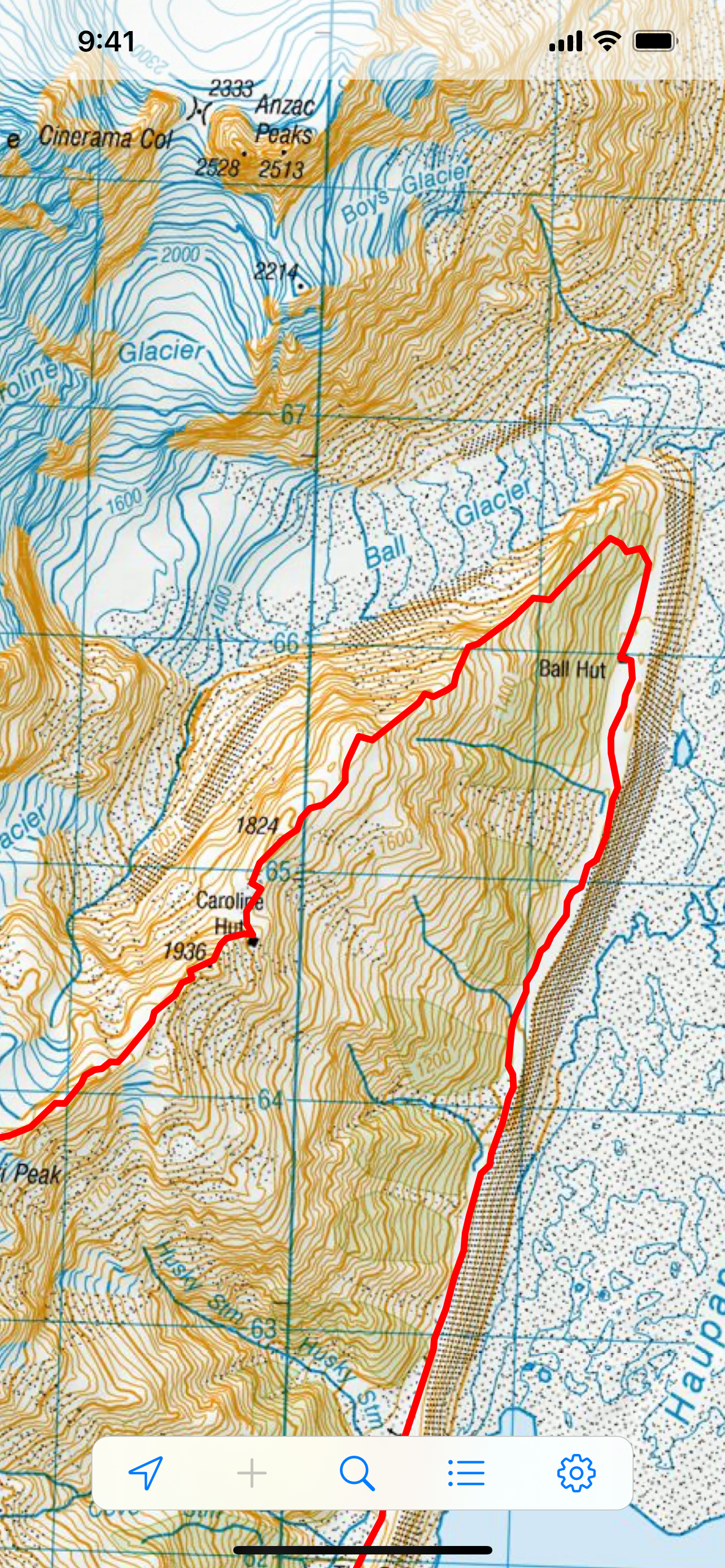
This a great system which I use all the time when I’m in the backcountry. I’ve had it on my iPhone for several years. Great tracking tool, which has helped me several times when being caught by low cloud when hunting thar and chamy. It also works well in the bush.
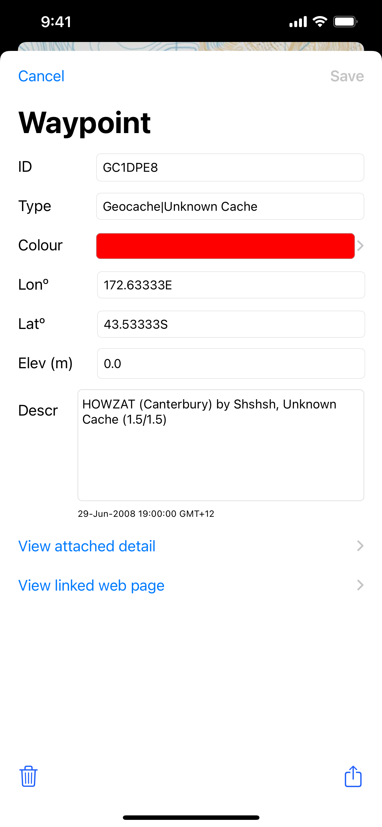
Great app for tramping. Perfect as works in airplane mode. Only complaint is that when you load a new version you lose all your waypoints ( I’ve used waypoints to mark trails I’ve done and huts I’ve stayed in)
Just what I needed
It is on a par with a 1960’s AAmap.i had anticipated something I could use to zoom in on as with a local map I have always had to buy for each sector
Great tool, full North or South Island on 1:50.000 scale map with quick zoom in/out, gps tracking and place name finder
This app is great. I have never seen it crash. They remind you if updated versions are available.
Have used this for years, good for back country NZ when there is no reception. Buy the extra maps, they are worth it.
Please link it to apple account so I don’t lose all my important waypoints
| Name | Downloads (30d) | Monthly Revenue | Reviews | Ratings | Recent release | |
|---|---|---|---|---|---|---|

Topo Nomad
USGS Topographical Maps
|
Unlock
|
Unlock
|
0
|
|
2 years ago | |

Topo Reader
USGS Topographical Maps
|
Unlock
|
Unlock
|
0
|
|
2 years ago | |

NZ Topo50 South Island
Complete offline 1:50k map
|
Unlock
|
Unlock
|
0
|
|
3 months ago | |

iHikeGPS NZ : LINZ Topo Maps
New Zealand Walk, Hike & Tramp
|
Unlock
|
Unlock
|
0
|
|
5 days ago | |

NZ Topo50 North Island
Complete offline 1:50k topomap
|
Unlock
|
Unlock
|
0
|
|
3 months ago | |

Te Araroa - The Trail App
Te Araroa Trail Offline App
|
Unlock
|
Unlock
|
0
|
|
3 months ago | |

NZ Tides
New Zealand Tides
|
Unlock
|
Unlock
|
0
|
|
11 months ago | |

Abel Tasman
|
Unlock
|
Unlock
|
0
|
|
1 year ago | |

iSailGPS NZ : NZ Marine Charts
New Zealand RNC Marine Charts
|
Unlock
|
Unlock
|
0
|
|
5 days ago | |

Cruise Guide for Marlborough
|
Unlock
|
Unlock
|
0
|
|
1 week ago |
