
NOAA Buoys - Charts & Weather
Live info on Nautical Charts
#1 Keyword Rankings
Today
Top 10 Rankings
Today
Top 30 Rankings
Today
Top 100 Rankings
Today
Description
NOAA Buoy data viewer allows you to retrieve info like tides, wave height and period, wind speed and direction, air and water temperature, humidity, dew point, atmospheric pressure, rising and falling indicator, visibility, tsunami and typhoon warnings on the detailed marine chart thanks to viewer.flytomap.com
All stations, buoys and ships are drawn on the world marine map, you can easily search the nearest stations and retrieve all NOAA info.
Just tap and get the info you require.
Advise and info are coming directly from NOAA's National Data Buoy Center.
A must for boaters, sailors, anglers and divers.
Detailed Features:
* View buoys near you
* Use GPS or manually enter your choosen location on a very detailed Marine Map.
* Works on all iPhone, iPod, and iPad versions.
* Detailed live buoy data with access to location specific forecasts.
* Buoys sorted by proximity to your selected location.
* Tide Predictions.
* Moon phases.
**For the buoy locations available on NOAA BUOY app, go here: http://www.ndbc.noaa.gov/
"Continued use of GPS running in the background can dramatically decrease battery life."
Hide..
Show more..
All stations, buoys and ships are drawn on the world marine map, you can easily search the nearest stations and retrieve all NOAA info.
Just tap and get the info you require.
Advise and info are coming directly from NOAA's National Data Buoy Center.
A must for boaters, sailors, anglers and divers.
Detailed Features:
* View buoys near you
* Use GPS or manually enter your choosen location on a very detailed Marine Map.
* Works on all iPhone, iPod, and iPad versions.
* Detailed live buoy data with access to location specific forecasts.
* Buoys sorted by proximity to your selected location.
* Tide Predictions.
* Moon phases.
**For the buoy locations available on NOAA BUOY app, go here: http://www.ndbc.noaa.gov/
"Continued use of GPS running in the background can dramatically decrease battery life."
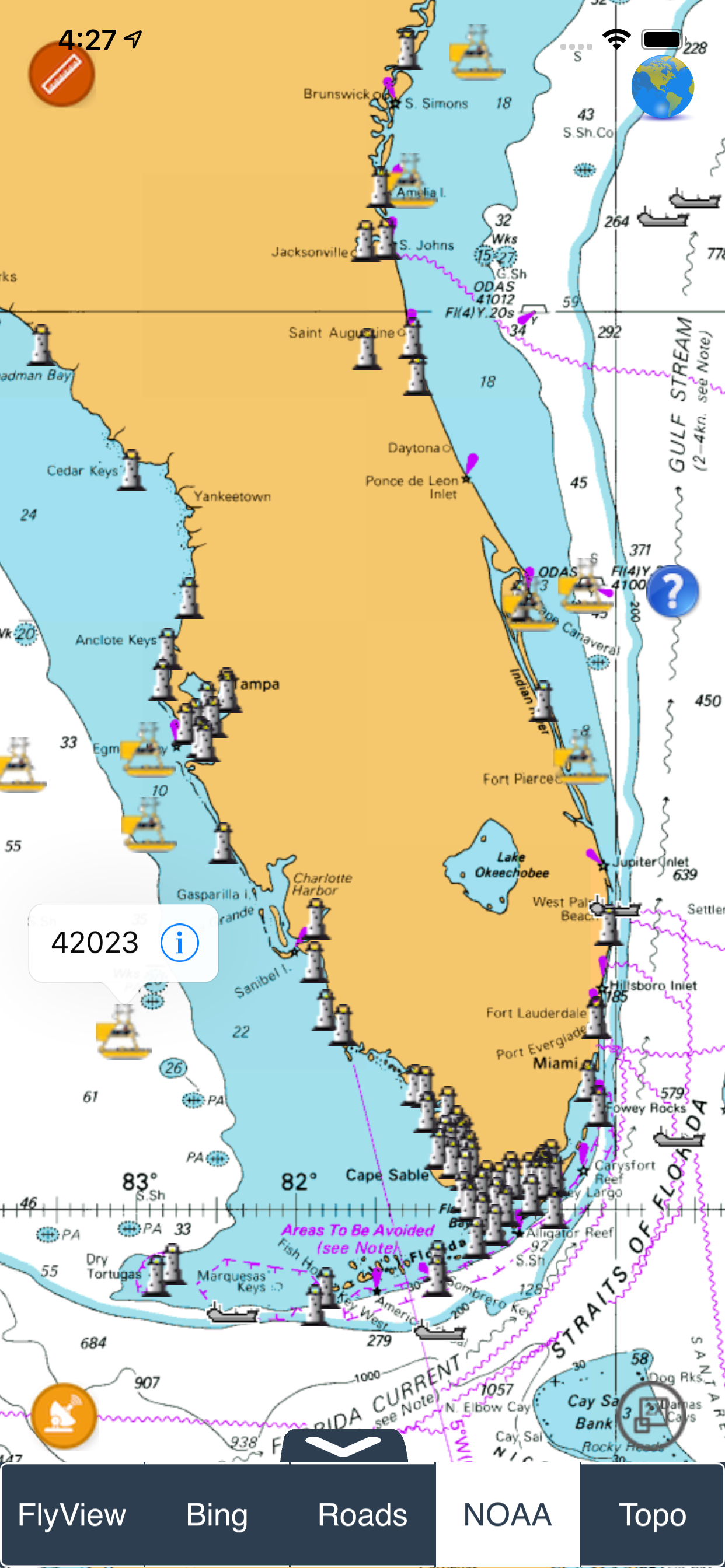
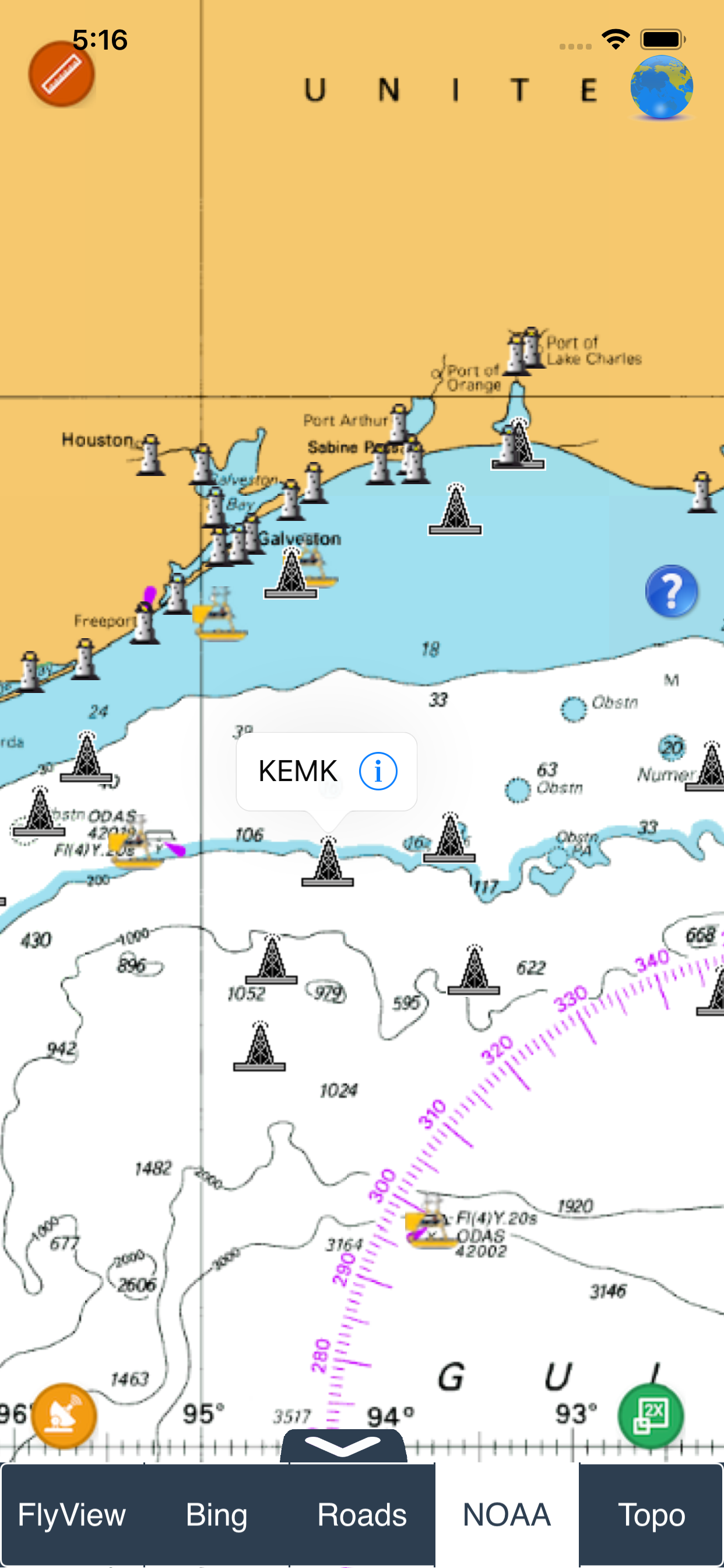
Screenshots


 User Rating
0 out of 5
0 ratings in India
Ratings History
Reviews
App doesn't have any reviews yet
Store Rankings
Ranking History
App Ranking History not available yet
Category Rankings
|
Chart
|
Category
|
Rank
|
|---|---|---|
|
Top Free
|

|
233
|
|
Top Free
|

|
326
|
|
Top Free
|

|
431
|
|
Top Free
|

|
487
|
Keywords
Revenue and Downloads
Gain valuable insights into NOAA Buoys - Charts & Weather performance with our analytics. Sign up now
to
access downloads, revenue, and more.
App Info
- Category
- Weather
- Publisher
- Flytomap
- Languages
- English, French, German, Italian, Spanish
- Recent version
- 1.9.2 (2 months ago )
- Released on
- Sep 9, 2011 (12 years ago )
- Also available in
- United States, Germany, Finland, Canada, Netherlands, Malaysia, Philippines, Peru, New Zealand, Norway, Nigeria, Poland, Mexico, Lebanon, Kazakhstan, Kuwait, South Korea, Japan, Pakistan, India, Portugal, Romania, Russia, Saudi Arabia, Sweden, Singapore, Thailand, Turkey, Taiwan, Ukraine, Vietnam, South Africa, Dominican Republic, Argentina, Austria, Australia, Azerbaijan, Belgium, Brazil, Belarus, Switzerland, Chile, China, Colombia, Czechia, Denmark, Italy, Algeria, Ecuador, Egypt, Spain, France, United Kingdom, Greece, Hong Kong, Hungary, Indonesia, Ireland, Israel, United Arab Emirates
- Last updated
- 1 month ago