
Pantai RTK
Pantai RTK
#1 Keyword Rankings
Today
Top 10 Rankings
Today
Top 30 Rankings
Today
Top 100 Rankings
Today
Description
Land survey application aka controller for Pantai RTK receiver, High precision GNSS RTK. use in Topographic survey, land survey. Convenience export to csv, geojson files for easily import to CAD like QGIS , Autocad. also can prepare from QGIS or Autocad before import to application. Supported feature like point, polyline, polygon. Measurement can be made instantly, supported length, area, angle etc. Supported point and line stakeout.
Hide..
Show more..
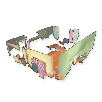
Screenshots


 User Rating
0 out of 5
0 ratings in Canada
Ratings History
Reviews
App doesn't have any reviews yet
Store Rankings
Ranking History
App Ranking History not available yet
Category Rankings
App is not ranked yet
Keywords
Users may also like
| Name | Reviews | Recent release | |
|---|---|---|---|

vGIS AR
Augmented reality for GIS
|
2
|
3 weeks ago | |

GIS Lite
Explore space
|
0
|
2 months ago | |

GNSS Log App
GNSS Static Observation Log
|
0
|
4 months ago | |

SW Maps
GIS and Data Collector
|
0
|
4 weeks ago | |

JAVAD Mobile Tools Authorised
J-Mobile for Authorized
|
0
|
1 year ago | |
ARPlanar
Professional measurement tool
|
0
|
1 year ago | |

Deflection Lite
Beam Calculator
|
0
|
5 months ago | |

Calctronics: EE tools lite
Electronics circuit calculator
|
0
|
1 week ago | |

BareCode X Pro QR Code Scanner
Ad-free Barcode Reader & Maker
|
0
|
6 months ago | |

FieldMove
|
1
|
3 years ago |
Show More
Revenue and Downloads
Gain valuable insights into Pantai RTK performance with our analytics. Sign up now
to
access downloads, revenue, and more.
App Info
- Category
- Productivity
- Publisher
- Prasert Wiangsukphaiboon
- Languages
- English
- Recent version
- 2.0.1 (2 months ago )
- Released on
- Dec 26, 2022 (1 year ago )
- Also available in
- Thailand, Portugal, South Korea, Kuwait, Mexico, Nigeria, Netherlands, Norway, New Zealand, Peru, Philippines, Pakistan, Poland, Japan, Romania, Saudi Arabia, Sweden, Singapore, Turkey, Taiwan, United States, Vietnam, South Africa, Algeria, Austria, Azerbaijan, Belgium, Belarus, Canada, Switzerland, China, Czechia, Germany, Denmark, Ecuador, Spain, Finland, France, United Kingdom, Hong Kong, Indonesia, Ireland, Israel, United Arab Emirates, Colombia, Malaysia, India
- Last updated
- 1 month ago