
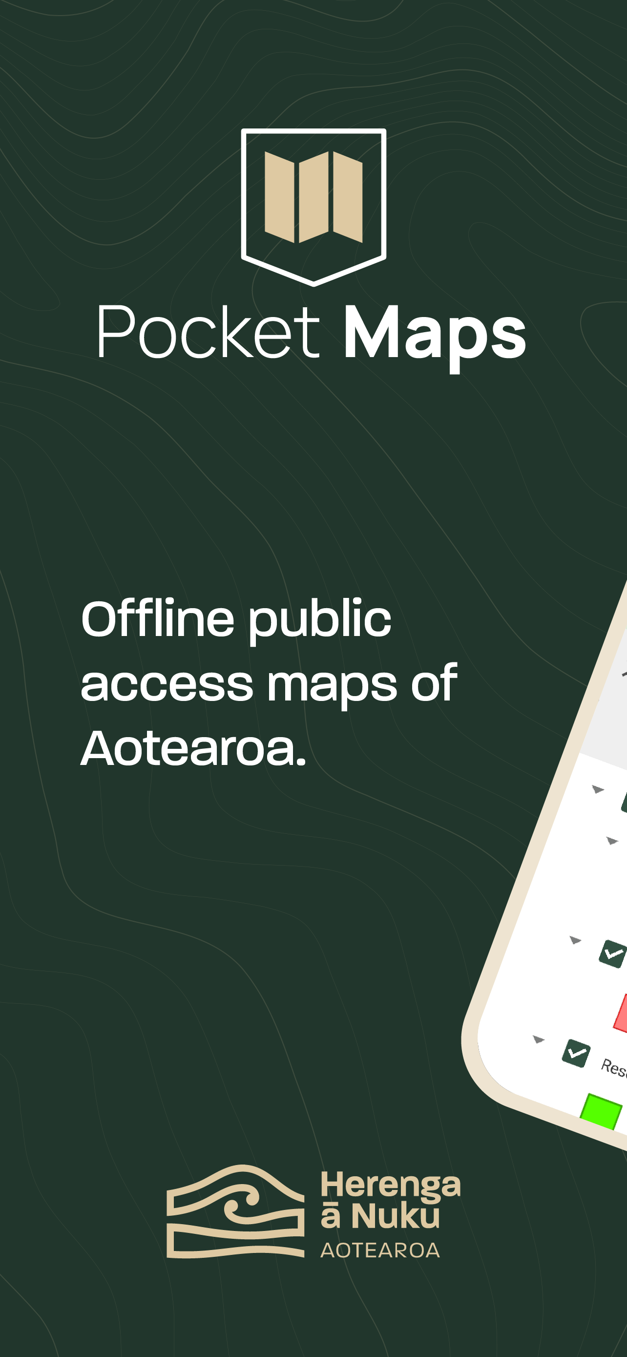
Pocket Maps
Offline public access maps.
#1 Keyword Rankings
Today
Top 10 Rankings
Today
Top 30 Rankings
Today
Top 100 Rankings
Today
Description
Welcome to Pocket Maps, the app for safely exploring the outdoors on public access land in Aotearoa, New Zealand.
Pocket Maps is developed and owned by Herenga ā Nuku Aotearoa, the Outdoor Access Commission,
and displays a range of maps and layers that are also available on the Herenga ā Nuku mapping system.
Pocket Maps displays Public Access Areas derived by Herenga ā Nuku from cadastral information, which indicate what land is publicly accessible.
The app also contains tracks, recreation spots, huts and campsite layers which are maintained and owned by other government agencies.
Features include:
• Publicly accessible areas in Aotearoa, shown by type
• Range of map layers for outdoor recreation
• Ability to generate elevation profiles
• Get coordinates and share
• Selection of high quality basemaps
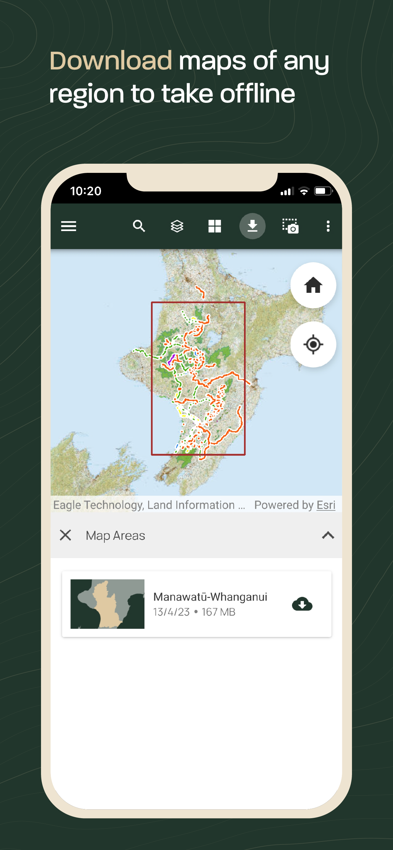
• Offline map regions
• Find your location
• Draw and measure routes
Hide..
Show more..
Pocket Maps is developed and owned by Herenga ā Nuku Aotearoa, the Outdoor Access Commission,
and displays a range of maps and layers that are also available on the Herenga ā Nuku mapping system.
Pocket Maps displays Public Access Areas derived by Herenga ā Nuku from cadastral information, which indicate what land is publicly accessible.
The app also contains tracks, recreation spots, huts and campsite layers which are maintained and owned by other government agencies.
Features include:
• Publicly accessible areas in Aotearoa, shown by type
• Range of map layers for outdoor recreation
• Ability to generate elevation profiles
• Get coordinates and share
• Selection of high quality basemaps
• Offline map regions
• Find your location
• Draw and measure routes
Screenshots


 User Rating
0 out of 5
0 ratings in Australia
Ratings History
Reviews
App doesn't have any reviews yet
Store Rankings
Ranking History
App Ranking History not available yet
Category Rankings
|
Chart
|
Category
|
Rank
|
|---|---|---|
|
Top Free
|

|
71
|
Keywords
Revenue and Downloads
Gain valuable insights into Pocket Maps performance with our analytics. Sign up now
to
access downloads, revenue, and more.
App Info
- Category
- Navigation
- Publisher
- Herenga a Nuku Aotearoa
- Languages
- Japanese, Arabic, Italian, Indonesian, Ukrainian, Estonian, Dutch, Catalan, Greek (modern), Croatian, Swedish, Spanish, Slovak, Slovene, Serbian, Thai, Czech, Danish, Turkish, German, Norwegian Bokmål, Hungarian, Finnish, French, Bulgarian, Hebrew (modern), Vietnamese, Bosnian, Portuguese, Polish, Latvian, Lithuanian, Romanian, Russian, Chinese, English, Korean
- Recent version
- 1.5.1 (1 year ago )
- Released on
- Oct 19, 2021 (2 years ago )
- Also available in
- New Zealand, Pakistan, Italy, Japan, South Korea, Kuwait, Kazakhstan, Lebanon, Mexico, Malaysia, Nigeria, Netherlands, Norway, Peru, Philippines, India, Poland, Portugal, Romania, Russia, Saudi Arabia, Sweden, Singapore, Thailand, Turkey, Taiwan, Ukraine, United States, Vietnam, South Africa, Denmark, Argentina, Austria, Australia, Azerbaijan, Belgium, Brazil, Belarus, Canada, Switzerland, Chile, China, Colombia, Czechia, Germany, United Arab Emirates, Dominican Republic, Algeria, Ecuador, Egypt, Spain, Finland, France, United Kingdom, Greece, Hong Kong, Hungary, Indonesia, Ireland, Israel
- Last updated
- 1 month ago