
N/A/
Pyrénées maps
#1 Keyword Rankings
Today
Top 10 Rankings
Today
Top 30 Rankings
Today
Top 100 Rankings
Today
Description
Rando is a very simple app that lets you get all the necessary offline maps for free to hike in the Pyrenees, with major points of interest (summits, refuges...), a selection of trails (which you can keep or delete) and the ability to import any GPX track.
- import your GPX files from Files OR directly from a URL copied to your clipboard OR from the Apple Fitness/Health application (to recover your sessions from Apple Watch or from third-party devices or third-party apps synchronized with Apple Health.
- no subscription required, no ads, no data collected, no trackers!
- automatic caching of the traveled map
- major Pyrenean stages including refuges
- location on the map with compass
- estimate of the remaining time / Km / elevation of your GPX track
- visualization of the elevation profile
- 3D tour in satellite view to visualize your ride (requires a connection)
- OpenTopo, IGN maps and many more...
Hide..
Show more..
- import your GPX files from Files OR directly from a URL copied to your clipboard OR from the Apple Fitness/Health application (to recover your sessions from Apple Watch or from third-party devices or third-party apps synchronized with Apple Health.
- no subscription required, no ads, no data collected, no trackers!
- automatic caching of the traveled map
- major Pyrenean stages including refuges
- location on the map with compass
- estimate of the remaining time / Km / elevation of your GPX track
- visualization of the elevation profile
- 3D tour in satellite view to visualize your ride (requires a connection)
- OpenTopo, IGN maps and many more...
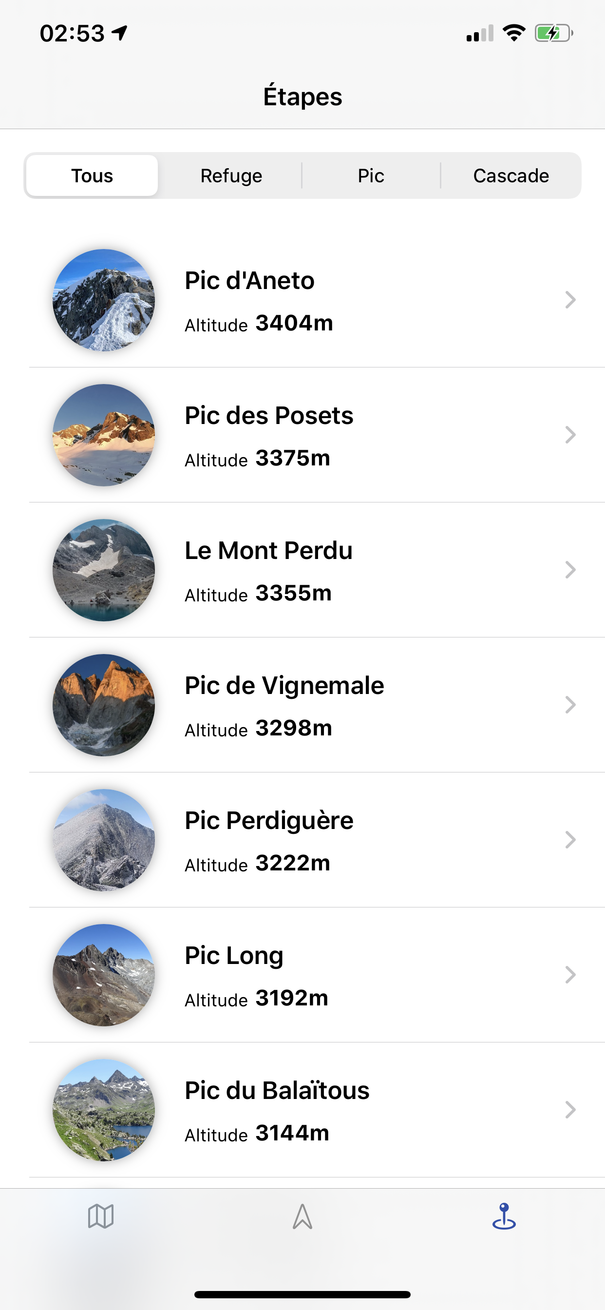
Screenshots


 User Rating
0 out of 5
0 ratings in Poland
Ratings History
Reviews
App doesn't have any reviews yet
Store Rankings
Ranking History
App Ranking History not available yet
Category Rankings
App is not ranked yet
Keywords
Users may also like
| Name | Reviews | Recent release | |
|---|---|---|---|

Hika - Hiking trails and maps
Hike and walk with GPS routes
|
0
|
1 month ago | |

Kamino Guide
Le Compagnon de vos activités
|
0
|
1 month ago | |

Rando Grand Carcassonne
|
0
|
5 months ago | |

Tourisme Montagne Noire
|
0
|
1 year ago | |

WAFFAPP
|
0
|
2 weeks ago | |

Rando66
|
0
|
8 months ago | |

HexaTrek : Thru Hike France
Map & Guide Outdoor
|
0
|
1 year ago | |

Rando Comminges
|
0
|
3 months ago | |

Lourdes-Pyrénées City Card
VOTRE PASS DANS LA POCHE !
|
0
|
2 months ago | |

Rheaparks - Hikes, GPS & Maps
Hiking Maps in Natural Parks
|
0
|
1 year ago |
Show More
Revenue and Downloads
Gain valuable insights into Rando Pyrénées performance with our analytics. Sign up now
to
access downloads, revenue, and more.
App Info
- Category
- Navigation
- Publisher
- Mathieu Vandeginste
- Languages
- French, English
- Recent version
- 2.0 (10 months ago )
- Released on
- Jul 16, 2020 (4 years ago )
- Also available in
- France, Portugal, South Korea, Kazakhstan, Mexico, Netherlands, Norway, Peru, Philippines, Pakistan, Poland, Italy, Saudi Arabia, Sweden, Singapore, Thailand, Turkey, Taiwan, Ukraine, United States, South Africa, Czechia, Australia, Azerbaijan, Belgium, Brazil, Belarus, Canada, Switzerland, Chile, China, Japan, Germany, Denmark, Spain, United Kingdom, Greece, Hungary, Ireland, Israel, Austria
- Last updated
- 1 month ago