ok
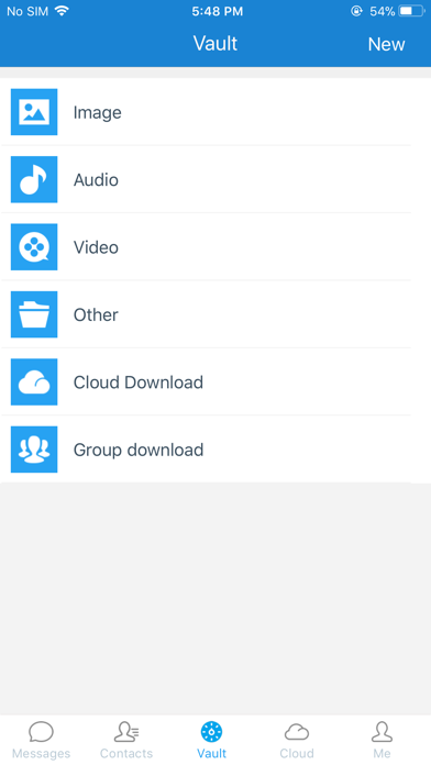
还不错。就是云盘的1g的存储太小了

Yes, SecEMS is free to download, however it contains in-app purchases or subscription offerings.
🤔 The SecEMS app seems decent. It has room for improvement but generally satisfies users.
SecEMS has several in-app purchases/subscriptions, the average in-app price is 439.99 ₺.
To get estimated revenue of SecEMS app and other AppStore insights you can sign up to AppTail Mobile Analytics Platform.

还不错。就是云盘的1g的存储太小了
登录提示网络不给力怎么解决
瞎升级,一直显示数据库升级,已经转两天了,还是现在升级中,什么时候能升级完
20181126更新以后就闪退,进不去了,希望尽快改进啊,收钱用都可以,什么时候能进去啊,20181127还是进不去
好好一个软件更新完之后服务器死活连不上去,越来越差,到底是什么原因
简洁实用,这就是我想要的聊天软件
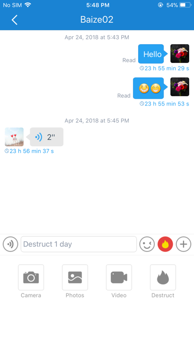
软件找了很久很好用。云界面不太正式,下面还有红色字体,不太好看,优化成按钮也好看点,也可以做成可分类的云空间,实际也可以改版专门存储好友间私密文件,因为用户存储量不大称之为云不太合适,用户也不太会把自己的文件存上去,百度云等就够用了,联系优化板块或改版为其他模式
非常好的一款软件
很快的适配了iPhone x 赞
非常人性化,并且意见反馈后及时得到了回复,,相信此款软件会有远大前途
