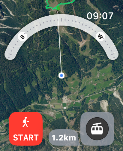
Hiking Maps - PeakVisor

Peak Finder 3D / AR

Published by: Routes Software SRL

Description

PeakVisor will make you a champion of mountain navigation, putting state-of-the-art Peak Identification, 3D Maps, Trails, and outdoor GPS tracking into the palm of your hand. Our app is a one-stop shop for all your mountain adventures: hiking, skiing, climbing, mountain biking, and more. But PeakVisor is more than just another outdoors app; it’s an immersion into a carefully crafted 3D world that will give you an unprecedented understanding of the nuances of a mountain’s terrain.
“PeakVisor uses your iPhone’s camera and augmented reality (AR) technology to display names and elevations of nearby peaks. The information will appear on your phone like magic.”
- App Store, Take the Trail Less Traveled
Here’s a brief orientation on the tools we offer to get oriented in the mountains:
● 3D Maps
As human athletic achievement progresses in the mountains, so does the technology to assist your adventures. With PeakVisor, you unlock the topo maps of the future; our cutting-edge technology with high-precision terrain modeling offers deep insight into the mountain landscape of your choice. With one glance, you be blessed with years of knowledge about an area’s terrain.
● Identify Peaks
Identify more than a million mountains, hills, buttes, spires, and more from all over the world, with a detailed profile for each of them! Our app shows you altitude, topographic prominence, mountain range, national parks or reserves, as well as photos and additional Wikipedia articles.
● Plan Hiking Routes
A vast network of worldwide hiking trails and walking pathways included in PeakVisor’s 3D Maps will help you compose a hiking route which includes evaluating the distance you can expect to hike as well as a route’s elevation profile and estimated time for completion.
● Skiing
In winter mountain sports, PeakVisor’s topographic 3D Maps allow a visual understanding of the terrain and provide detailed information about mountain lifts, ski resort trails, and backcountry ski touring routes. The app also offers features such as winter mode and a slope steepness overlay to identify avalanche terrain on your route.
● Cable Cars and Mountain Huts are inlaid onto our 3D Maps, complete with schedules. This is especially useful in Europe, where many objectives involve a cable car ride to gain some altitude, lest you want to do some genuinely punishing climbs. And you haven’t experienced the old-world mountain culture until you’ve had a memorable meal and night at a rustic mountain hut in the high country.
● Peak Bagging
The app offers monthly climbing challenges and Peak Bagging competitions to keep the motivation where it needs to be…UP.
● Animated Flyover Videos
You can even initiate a ‘Flyover,’ our visually stunning animations that give you a token video of your route to show family and friends or inspire some memories down the road.
● GPS Tracking
Track any outdoor adventures, whether hiking, skiing, mountain biking, etc. Post-adventure, you can visualize your route in the miniature 3D world, check out stats like distance and elevation gain, and export a GPX file of your new route.
● Lock-Screen Navigation
● All Features Work Offline
PeakVisor is the Swiss army knife for outdoor adventure, one that you will soon find indispensable while in the mountains. With so many features at your fingertips, you’ll find value from the app whenever you're on the trail.
PeakVisor PRO is a premium subscription that allows you to use the app without any limitations. By subscribing to PeakVisor PRO you make it possible for us to focus on the continued development of the app. PeakVisor PRO is available as a monthly or annual subscription. We have no advertising on the app; all revenue comes from our user subscriptions. We constantly modify the app and offer an update each week, always with new features and fewer bugs. You may find more details in our Terms and Privacy Policy by the link → https://peakvisor.com/en/terms.html
Hide Show More...

In-Apps

One Month of Hiking & Skiing
$4.99
One Year of Hiking & Skiing
$31.99
Hike & Ski Forever
$119.99

Screenshots

Hiking Maps FAQ

  • Is Hiking Maps free?

    Yes, Hiking Maps is free to download, however it contains in-app purchases or subscription offerings.

  • Is Hiking Maps legit?

    ⚠️ The Hiking Maps app has poor ratings and negative feedback. Users seem unsatisfied with its performance or features.

    Thanks for the vote

  • How much does Hiking Maps cost?

    Hiking Maps has several in-app purchases/subscriptions, the average in-app price is $52.32.

  • What is Hiking Maps revenue?

    To get estimated revenue of Hiking Maps app and other AppStore insights you can sign up to AppTail Mobile Analytics Platform.

User Rating

4.53 out of 5

1,027 ratings in Canada
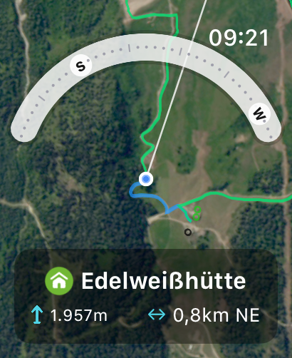
5 star
764
4 star
152
3 star
47
2 star
17
1 star
47
Ratings History

Hiking Maps Reviews

I like mountain

MikalSmouter on

Canada

Mountain View

Needs to be fixed!

Екатерина ' on

Canada

Amazing app, but after the last update I can’t open the app. I click on it and it just closes:( (iPhone XR)

Drains battery

jdog hiker 1233 on

Canada

Not as good as the preview, uses lots of the phone battery so not ideal to track or use in hikes. Phone heats us when app is open. Not worth paying for, would not recommend.

Would be good if it works

Scl0582 on

Canada

Doesn’t work that great. Mountains that I 100% know the name have the name attached way off course. And it does not work offline as described

wow.

j0hn-d on

Canada

totally amazing app. if you are into hiking or just like to look at the horizon, this is a must have. try it; the app will sell itself.

Free version is useless.

VanguardHydra on

Canada

I just want to identify peaks from a distance. When trying to calibrate the AR with my camera it shut off saying one location per day.

requires too many acess. otherwise you arenot allowed to use it

Iyner629 on

Canada

hard to use

Doesn’t work

Applepop410 on

Canada

It was completely off by a long shot, it was saying lasquetti island was little mountain on Vancouver island. Lol

Waste of time

sarabarabridgwidg on

Canada

I downloaded and opened, Matterhorn screen appeared and seconds later went black and shut down. I figured something happened during download, so I deleted and then installed once more. Same thing happened again. Total waste of time and data.

Not working for me

Nnc99 on

Canada

It shows the mountains further back from the ones I’m looking at. It won’t label the ones closest to me. Very frustrating.

Store Rankings

Ranking History
Category Rankings
Chart
Category
Rank
Top Grossing
3
Top Grossing
4
Top Grossing
5
Top Grossing
5
Top Grossing
6

Keywords

Hiking Maps Competitors

Sentieri e Mappe 3D PeakVisor Installs

Last 30 days

Sentieri e Mappe 3D PeakVisor Revenue

Last 30 days

Hiking Maps Revenue and Downloads

Gain valuable insights into Sentieri e Mappe 3D PeakVisor performance with our analytics.
Sign up now to access downloads, revenue, and more.
This page includes copyrighted content from third parties, shared solely for commentary and research in accordance with fair use under applicable copyright laws. All trademarks, including product, service, and company names or logos, remain the property of their respective owners. Their use here falls under nominative fair use as outlined by trademark laws and does not suggest any affiliation with or endorsement by the trademark holders.