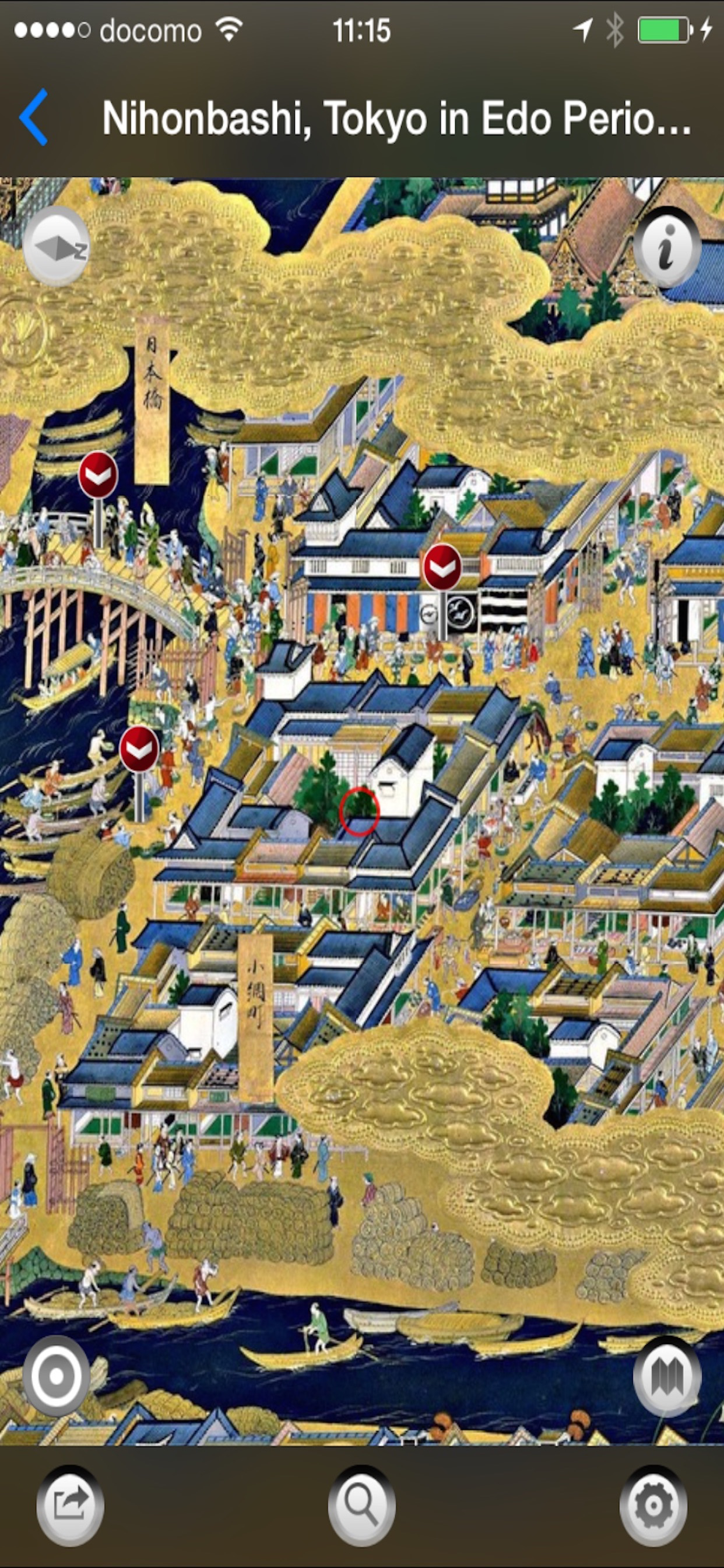
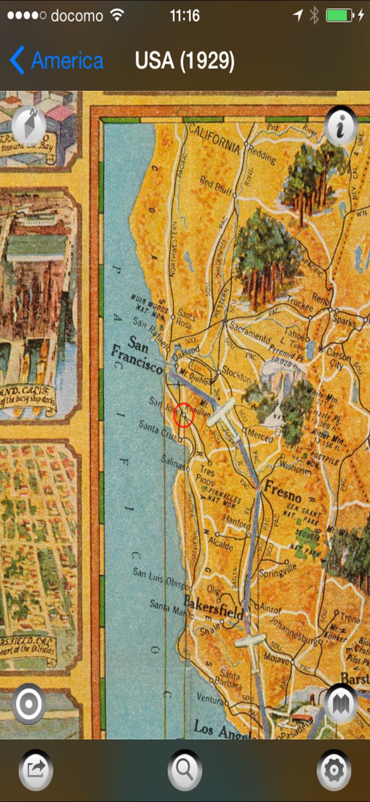
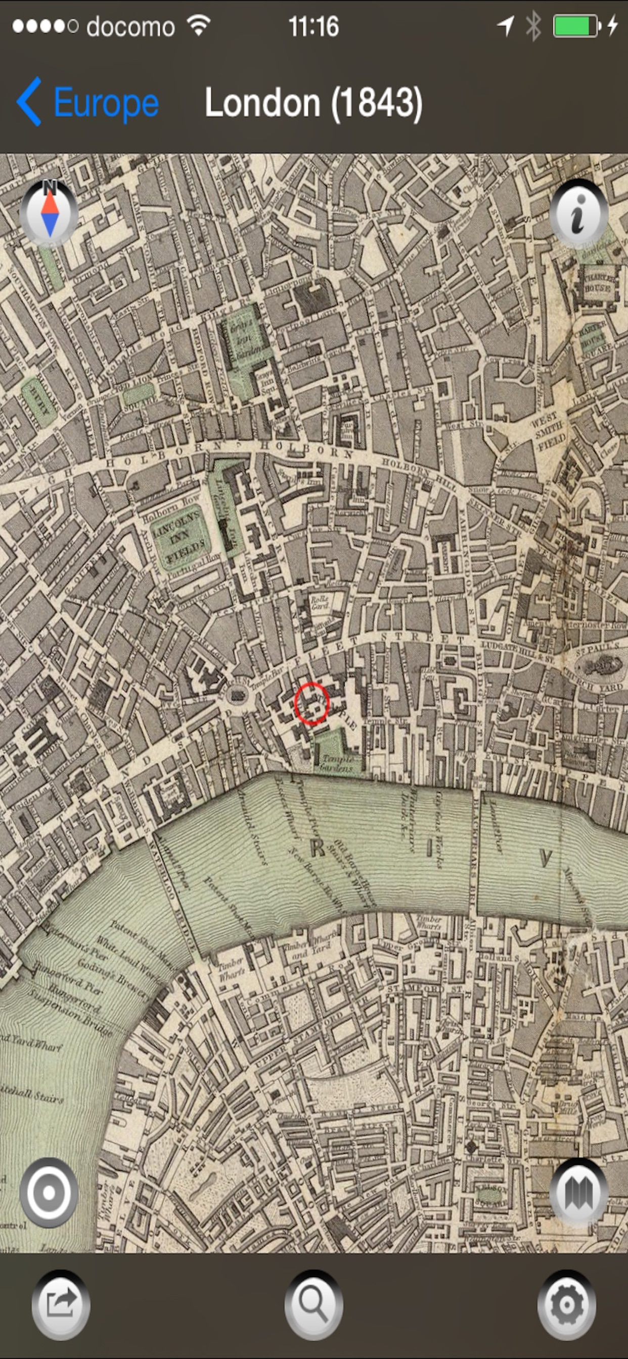
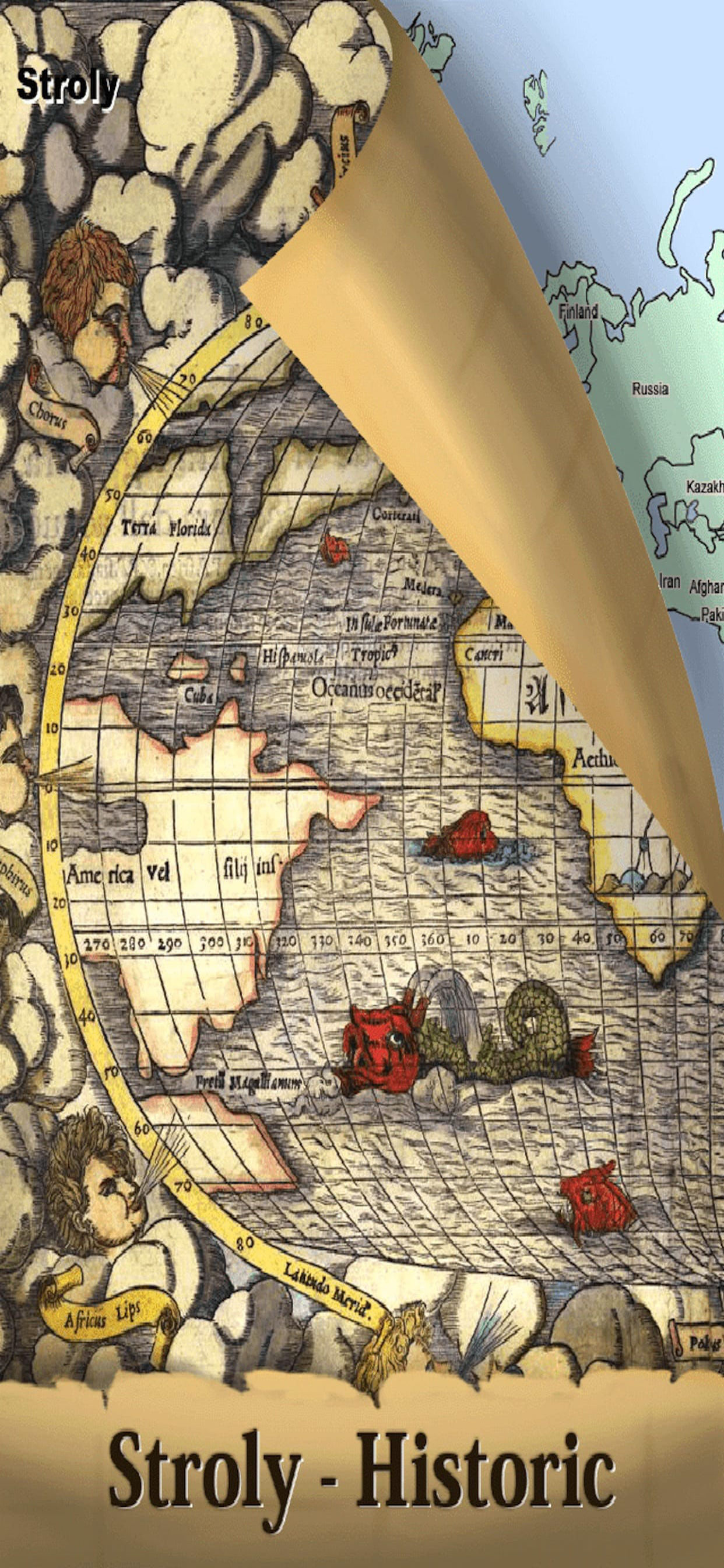
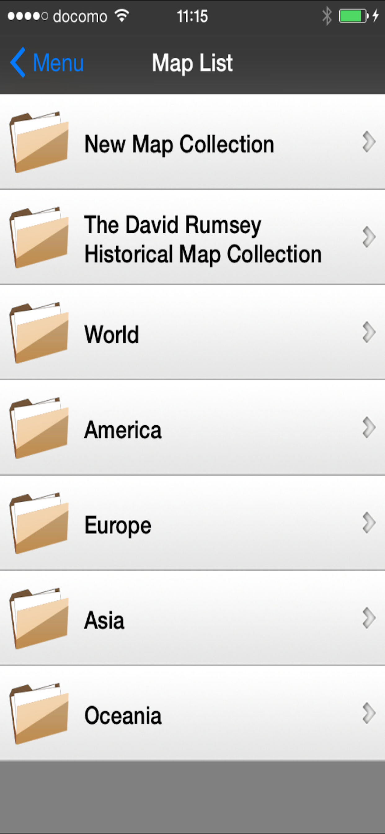
Scans alter Karten, mehr nicht.
Scans alter Karten, mehr nicht. Dafür braucht man keine App. Heute gab es sie kostenlos, mehr ist sie auch nicht wert.


1 out of 5
1 ratings in Germany
Scans alter Karten, mehr nicht. Dafür braucht man keine App. Heute gab es sie kostenlos, mehr ist sie auch nicht wert.
| Name | Reviews | Recent release | |
|---|---|---|---|

スーパー地形
GPS対応3D地図アプリ〜山から街まで高低差を極めるツール
|
0
|
2 weeks ago | |

Old Satellite Map JAPAN
Aerial photograph map in JAPAN
|
0
|
1 year ago | |

国土マップR
最強の国土地理院地図ビューア。
|
0
|
6 years ago | |

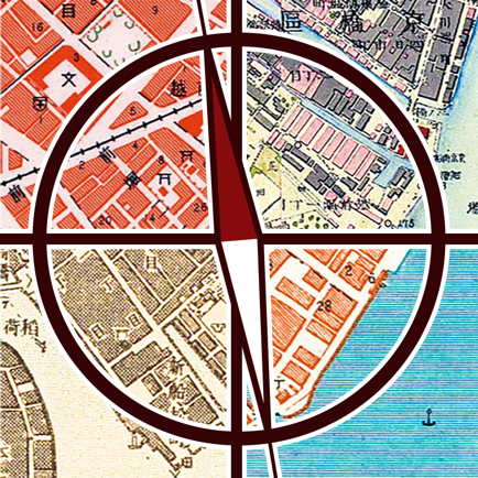
古地図散歩 時代を重ねるマップ
懐かしの土地を時代の流れを感じながら歩こう!
|
0
|
1 year ago | |

大江戸今昔めぐり
江戸末期の古地図を完全描き起こし!現代図に重ねた地図アプリ
|
0
|
1 year ago | |

Kyoto heritage
conveys the charm of Kyoto
|
0
|
3 months ago | |

KYOTO Navi -KOTO-
|
0
|
4 years ago | |

Japan Architecture Map
Guide of Japanese Architecture
|
0
|
2 months ago | |
Tokyo Jisou Maps
|
0
|
6 years ago | |

Kansai Jisou Maps
Old map app for Kansai Japan
|
0
|
1 year ago |