
Survey360
#1 Keyword Rankings
Today
Top 10 Rankings
Today
Top 30 Rankings
Today
Top 100 Rankings
Today
Description
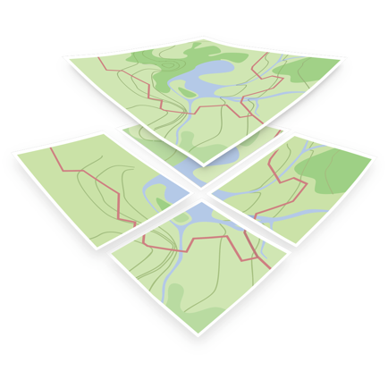
See your GPS position and draw points, line and polygons on your maps. Collect field data and notes related to a location, attach a photo and fill custom properties and attributes. 2D visualisation of maps.
Display offline maps generated with IGiS Desktop. The app supports GeoJSON and MBTiles formats natively. Survey processes are streamlined with auto-data collection also have integrated Form-builder to create survey form. Maps can come from tile servers with OGC WMTS, TileJSON or XYZ tiles. Choose various base maps like street and satellite. It is easy to share the data with other people and collaborate! Perfect for mobile data collection for GIS and surveys.
Hide..
Show more..
Display offline maps generated with IGiS Desktop. The app supports GeoJSON and MBTiles formats natively. Survey processes are streamlined with auto-data collection also have integrated Form-builder to create survey form. Maps can come from tile servers with OGC WMTS, TileJSON or XYZ tiles. Choose various base maps like street and satellite. It is easy to share the data with other people and collaborate! Perfect for mobile data collection for GIS and surveys.
Screenshots


 User Rating
0 out of 5
0 ratings in Peru
Ratings History
Reviews
App doesn't have any reviews yet
Store Rankings
Ranking History
App Ranking History not available yet
Category Rankings
|
Chart
|
Category
|
Rank
|
|---|---|---|
|
Top Free
|

|
289
|
|
Top Free
|

|
473
|
Keywords
Users may also like
| Name | Reviews | Recent release | |
|---|---|---|---|

iGeoTrans X Lite
GPS & Field data collection
|
0
|
2 years ago | |

topoXpress
GIS & Survey
|
0
|
3 years ago | |
OpenMapTiles
|
0
|
3 years ago | |

Draw Maps for ArcGIS
Team Collaboration Maps
|
0
|
3 years ago | |

Touch GIS
Advanced field data collection
|
0
|
1 month ago | |

MyGIS
Your Navigation Companion
|
0
|
5 months ago | |

Cartograph Maps 3
Mapsforge offline vector maps.
|
0
|
2 weeks ago | |

Lim Geomatics Prism
|
0
|
1 month ago | |

Geo Data Collector
Field Data Collection Mapping
|
0
|
1 year ago | |

iGIS for iPad
|
0
|
3 years ago |
Show More
Revenue and Downloads
Gain valuable insights into Survey360 performance with our analytics. Sign up now
to
access downloads, revenue, and more.
App Info
- Category
- Navigation
- Publisher
- Scanpoint Geomatics Ltd.
- Languages
- English
- Recent version
- 6.0.3 (4 months ago )
- Released on
- Oct 8, 2020 (3 years ago )
- Also available in
- India, Ukraine, Spain, Turkey, Lebanon, Peru, New Zealand, Norway, Netherlands, Nigeria, Malaysia, Mexico, Pakistan, Kazakhstan, Kuwait, South Korea, Japan, Philippines, South Africa, Poland, Portugal, Romania, Russia, Saudi Arabia, Sweden, Singapore, Thailand, Taiwan, United States, Vietnam, United Arab Emirates, Denmark, Argentina, Austria, Australia, Belgium, Brazil, Belarus, Canada, Switzerland, Chile, China, Colombia, Czechia, Germany, Italy, Dominican Republic, Algeria, Ecuador, Egypt, Finland, France, United Kingdom, Greece, Hong Kong, Hungary, Indonesia, Ireland, Israel
- Last updated
- 2 weeks ago