Crashing
The keeps crashing with the new update.


Yes, UK Map is free to download, however it contains in-app purchases or subscription offerings.
🤔 The UK Map app's quality is mixed. Some users are satisfied, while others report issues. Consider reading individual reviews for more context.
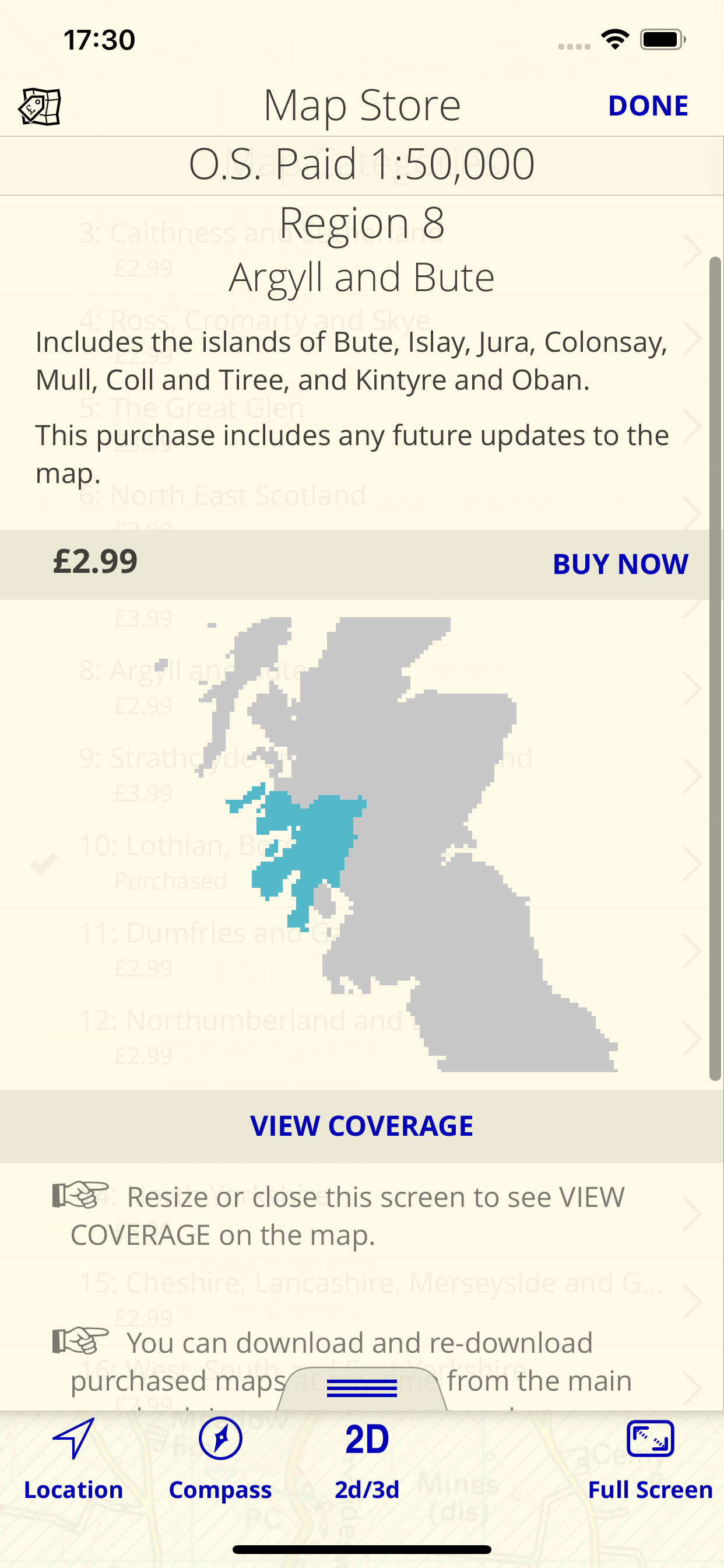
UK Map has several in-app purchases/subscriptions, the average in-app price is $2.89.
To get estimated revenue of UK Map app and other AppStore insights you can sign up to AppTail Mobile Analytics Platform.

The keeps crashing with the new update.
Pay for the app and you get Rasta maps that are virtually useless. There are better and more functional navigation and map apps available.
Having paid for and downloaded the app because it said U.K., I found that it only had England, Scotland and Wales. For a map company, you would think they knew the difference between U.K. and GB. So if the developer reads this - the difference is U.K. includes Northern Ireland and GB does not. Again, people visiting Northern Ireland as well as those living in Northern Ireland are discriminated although we are allegedly part of the U.K. To the developed - please change the name or alternatively please include Northern Ireland as we are very welcoming to walkers with some great outdoor areas including the Mournes, Lakelands and North Coast. Looking forward to my refund if not able to add NI.
I have used UK Map for many years now from an iPhone 4S right through to the latest iPhone 15 Pro Max. I like the way the Maps are presented and I like the amount of control that is available to the user. If you are serious about Map detail this is the ideal App for your iPhone.
I’ve just purchased this app and can’t understand how to access a map I’ve downloaded. There are no instructions in the App to help
Can’t restore purchases so it’s useless. Look elsewhere and don’t waste your money.
complications should be paid for extras , that'll show you how much people want them
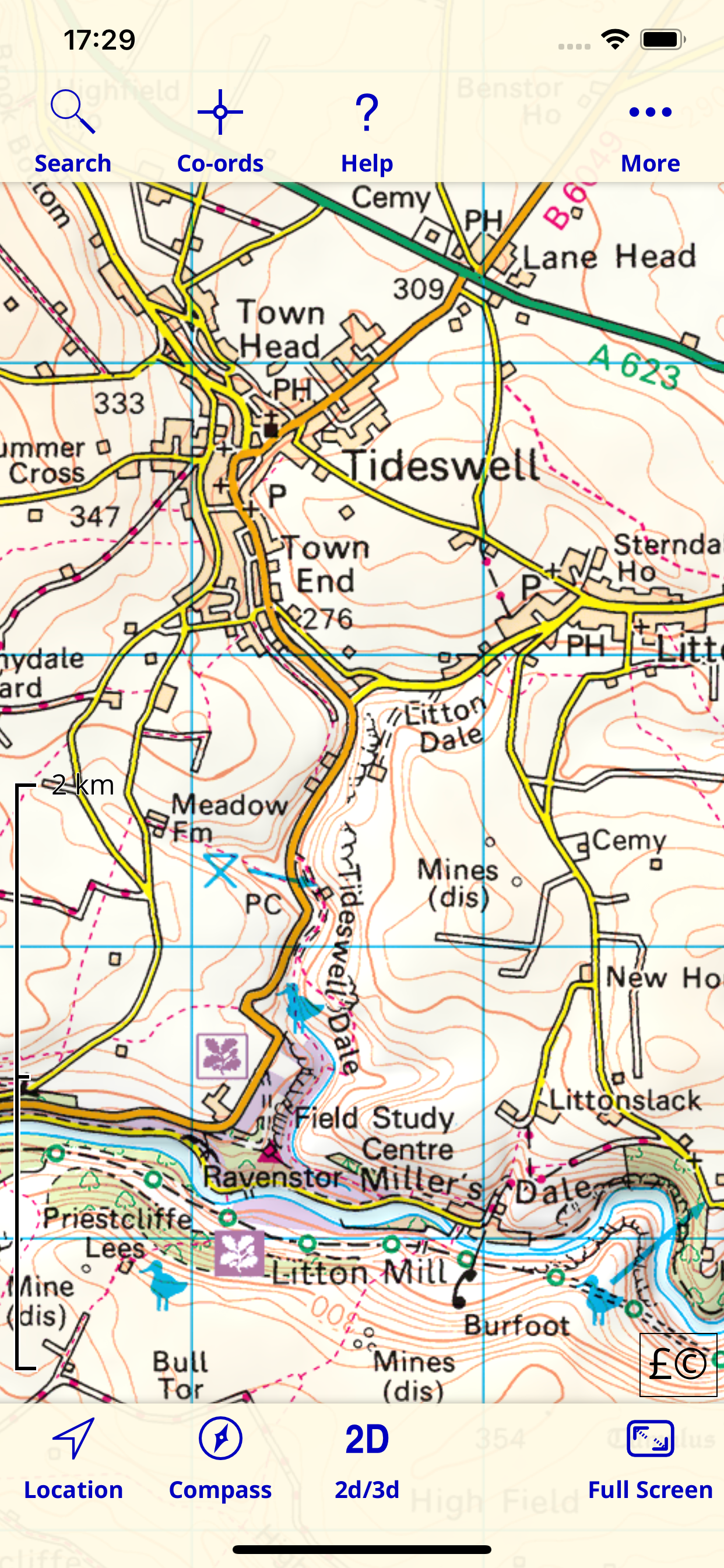
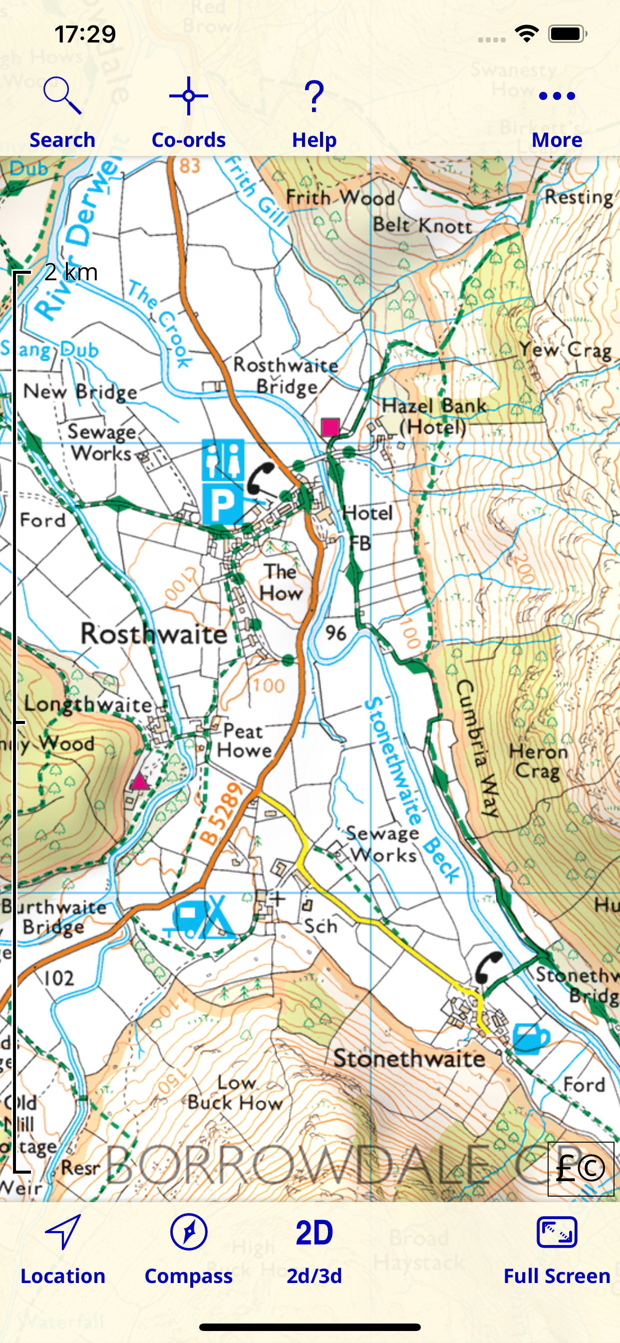
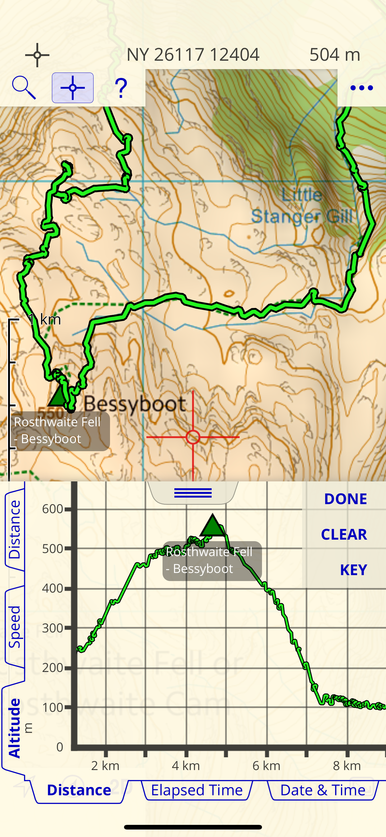
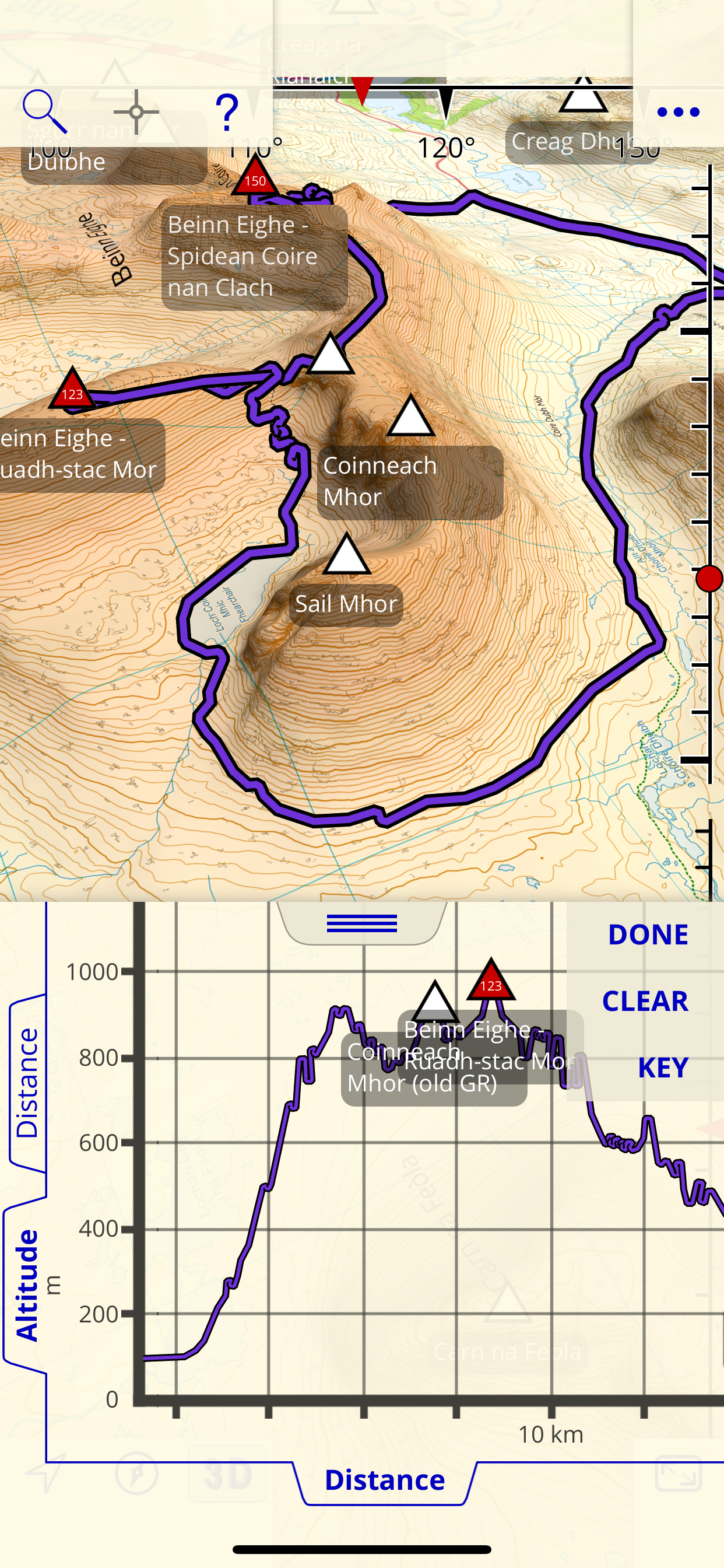
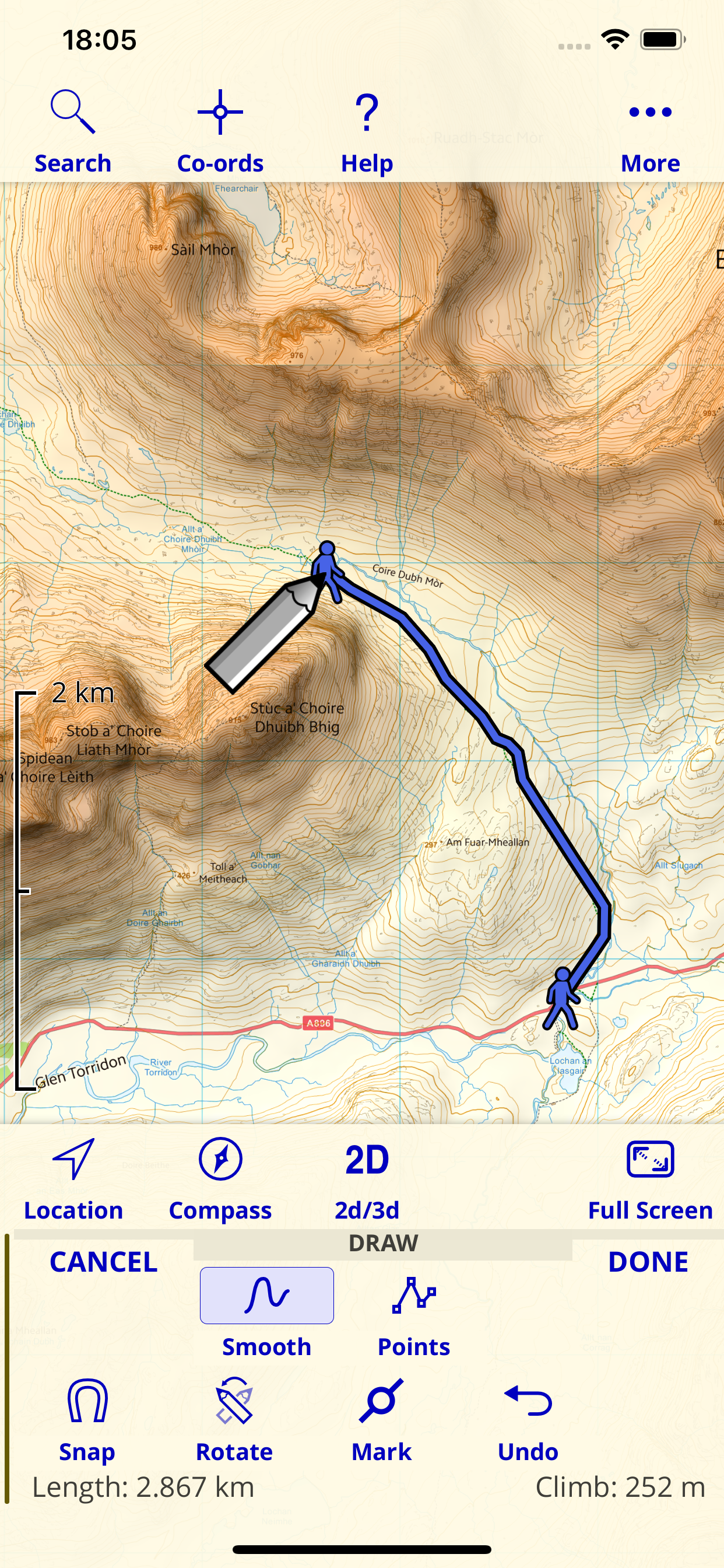
Love this app, been using it for years for hikes, runs and cycles. I record my activity tracks and export the files to computer to file away. I download gpx files of trails from websites e.g. Pennine Way, and open in this app, to navigate along the trail. One off payment, and access to maps wherever I am in the UK. Sure, the free OS maps aren’t as good as the superb OS Explorer maps, but with most footpaths cleverly overlaid they’re good enough for my needs and a far more cost effective option than buying individual maps, or an OS subscription. Shame it doesn’t work abroad!
This is great. Buy the app and get free access to 1:25k vector maps. Download the whole of the UK if you like or just the rectangular areas you need and save phone memory. Lovely interface as moving map fades from one to another as you zoom in/out. Addition purchase to download mapping tiles at 1:25k or 1:50k OS raster mapping (Landranger) This is now one of my favourite mapping apps on the iPhone. TopoGPS being my other one I am also evaluating before making my selection of which to invest in for more map purchases.
I like maps and have looked at lots of map apps but this is the one for walking, cycling etc in the UK. It is one of the main reasons I have stayed with iOS. I wrote that review a few years ago and this is still my favourite map app for the UK.
|
Chart
|
Category
|
Rank
|
|---|---|---|
|
Top Paid
|

|
14
|
|
Top Paid
|

|
62
|
|
Top Grossing
|

|
62
|
|
Top Paid
|

|
73
|
|
Top Paid
|

|
74
|
