Wanderapp
Eine Katastrophe


Yes, Hiking Map Austria is free to download, however it contains in-app purchases or subscription offerings.
⚠️ The Hiking Map Austria app has poor ratings and negative feedback. Users seem unsatisfied with its performance or features.
Hiking Map Austria has several in-app purchases/subscriptions, the average in-app price is 28.10 ₪.
To get estimated revenue of Hiking Map Austria app and other AppStore insights you can sign up to AppTail Mobile Analytics Platform.

Eine Katastrophe
Ich finde die App gut, bin zufrieden.
Diese app ist zum speiben🤮
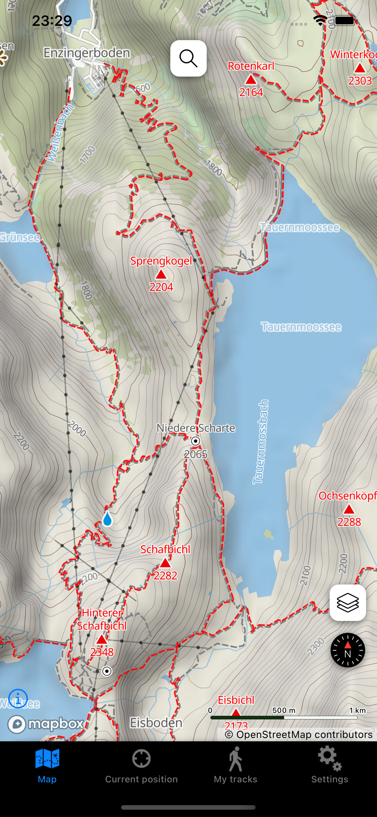
Bitte wie funktioniert diese Karte da kann man nichts einstellen u. Ich weiß nicht wie die Aufnahme funktioniert wenn ich auf Aufnahme drücke u.eine Wanderung von 7km mache zeigt sie mir nur 8m an??? Wenn Sie mir nicht antworten bestestelle ich die Karte wieder ab,wiso findet mann kein Impressum,ich habe Ihnen den Beitrag schon einmal gesendet,bis jetzt keine Antwort erhalten. Ich Kündige diese App da sie auf iPhoneX nicht funktioniert es tut mir leid,ich Probiere es jetzt mit der bergfex App ich hoffe das ich mein Geld für die Wanderkarte Österreich zurückbekomme
Auf der Suche nach einer App mit Wanderkarten und GPS Funktion habe ich mir diese App downgeloadet. Bis auf Karten, die aber keine Wanderwege beinhaltet haben, habe ich nichts gefunden. Geschweige denn, die Möglichkeit Zielkoordinaten einzugeben. Vielleicht bietet ja die Kauf-Version, wonach ich suche. Allerdings kaufe ich nichts auf gut Glück.
Nichts vom versprochenen funktioniert!!
Hätte mir mehr erwartet!
3 der 5 Bilder zeigen bezahlte Features, sind also in der App nicht zu finden. Die App lädt unfassbar langsam auch über schnelles WiFi. ( ca 500 MB !) , nachdem sie endlich geöffnet werden kann sind die Karten kaum zu zoomen , obwohl onboard . Suche funktioniert überhaupt nicht (permanenter Absturz (auf iOS9 auf dem alle anderen Apps klaglos laufen) , Icons sind NICHT Apple konform . Gut gemeint ist das Gegenteil von gut.
Langsamer App. Zoomen der Karte nur bedingt möglich.
Interface könnte etwas moderner sein. Funktioniert für Aufzeichnungen recht gut, hab aber leider 5 mal einen Punkt im Track, der 2 km entfernt von mir lag. GPS findet meinen Standort aber sofort, wenn ich das Display einschalte...
|
Chart
|
Category
|
Rank
|
|---|---|---|
|
Top Grossing
|

|
60
|
|
Top Free
|
|
242
|
|
Top Free
|

|
460
|
