Aircraft Airspeed
Je cherche l’app aircraft airspeed


Ja, Aircraft Altimeter ist komplett kostenlos und enthält keine In-App-Käufe oder Abonnements.
Nicht genügend Bewertungen, um eine zuverlässige Einschätzung vorzunehmen. Die App benötigt mehr Nutzerfeedback.
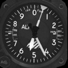
Aircraft Altimeter ist kostenlos.
Um geschätzte Einnahmen der Aircraft Altimeter-App und weitere AppStore-Einblicke zu erhalten, können Sie sich bei der AppTail Mobile Analytics Platform anmelden.

Je cherche l’app aircraft airspeed
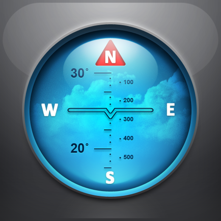
Où que je me trouve, je suis à 40 mètres d'altitude (même avec un bon signal GPS et le 3G à bloc) ! La terre est-elle si plate que ça ?
Altitude 0 ..... Encore et toujours !
L'alti a une référence gps donc il indique une lecture directe par rapport au niveau de la mer (QNH) sympa pour les points hauts sûr les cartes aero ça permet d'avoir un alti cale en niveau de vol (1013,25 hpa) et l'iphone en lecture directe sur le QNH sans être oblige d'avoir le qnh regional.
|
Diagramm
|
Kategorie
|
Rang
|
|---|---|---|
|
Top Bezahlt
|

|
36
|
|
Top Bezahlt
|

|
37
|
|
Top Bezahlt
|

|
37
|
|
Top Bezahlt
|

|
37
|
|
Top Bezahlt
|

|
43
|
| Name | Downloads (30d) | Monatlicher Umsatz | Rezensionen | Bewertungen | Letzte Veröffentlichung | |
|---|---|---|---|---|---|---|
Commander Compass
GPS, compass and maps toolkit
|
Freischalten
|
Freischalten
|
0
|
|
vor 1 Jahr | |

Nav Camera
Photo/Movie Geo-data Overlays
|
Freischalten
|
Freischalten
|
0
|
|
vor 1 Jahr | |

Levil Aviation
Digital Instrument Panel
|
Freischalten
|
Freischalten
|
0
|
|
vor 1 Woche | |

Horizon Portable Glass Cockpit
Pilot's Intuitive Navigation
|
Freischalten
|
Freischalten
|
0
|
|
vor 6 Monaten | |

A-EFIS Black and White
Fly with your iPhone!
|
Freischalten
|
Freischalten
|
0
|
|
vor 2 Wochen | |

Alti-watcher
|
Freischalten
|
Freischalten
|
0
|
|
vor 3 Wochen | |

Pilot: Aviation Altimeter
Airplane mode, no GPS needed
|
Freischalten
|
Freischalten
|
0
|
|
vor 1 Jahr | |
Approach Charts
|
Freischalten
|
Freischalten
|
0
|
|
vor 9 Monaten | |
Scenic Map Western Canada
Offline 3D topo maps
|
Freischalten
|
Freischalten
|
0
|
|
vor 8 Monaten | |
Alt-O-Meter
An Air Pressure Altimeter
|
Freischalten
|
Freischalten
|
0
|
|
vor 6 Monaten |
