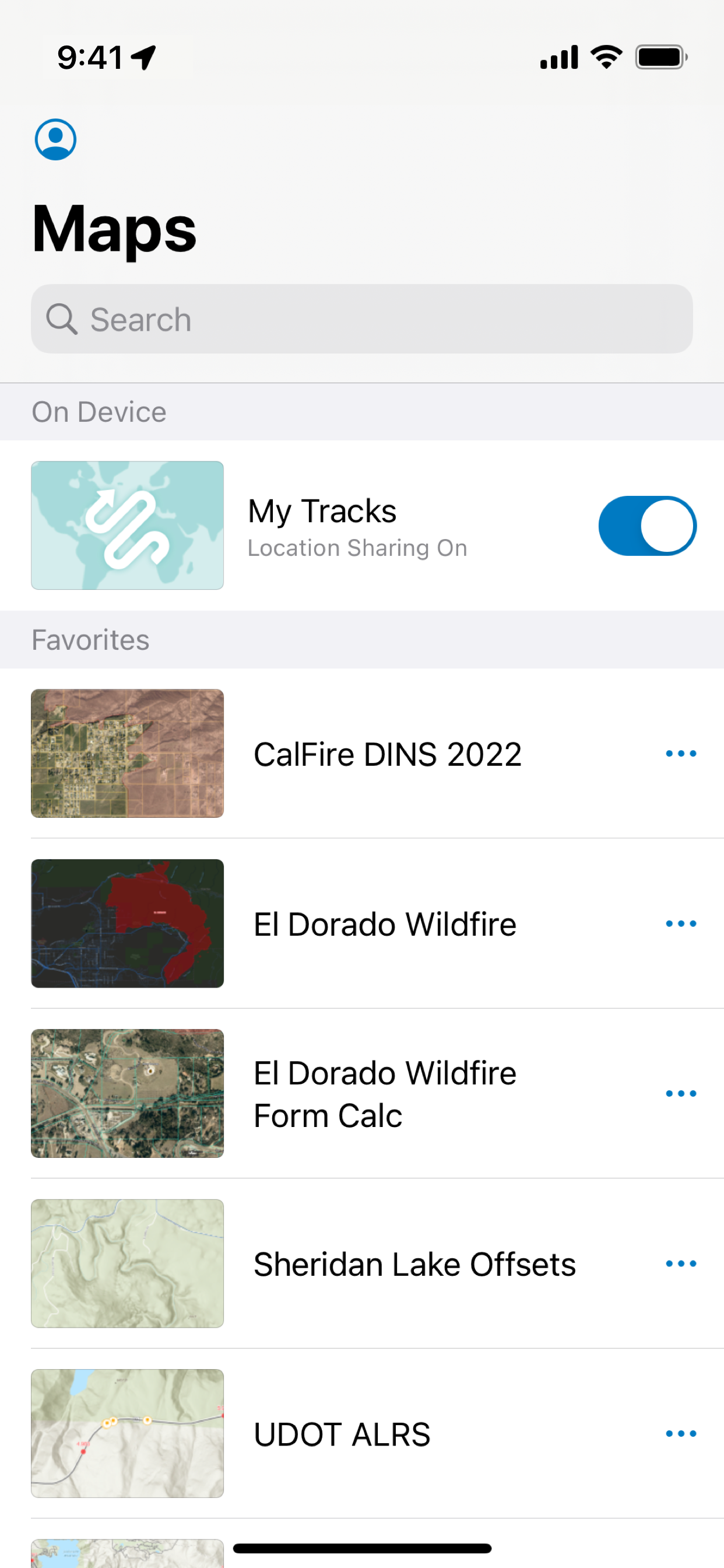
ArcGIS está disponible en su escritorio, en un navegador y ahora en su iPhone o iPad. ArcGIS Field Maps es la aplicación de mapas por excelencia de Esri en dispositivos móviles. Utilice Field Maps para explorar los mapas que ha realizado en ArcGIS, recopilar y actualizar sus datos acreditados, y registrar dónde ha estado, todo desde una misma aplicación de localización.
Características principales:
- Consulte mapas de gran calidad creados con ArcGIS.
- Descargue los mapas en su dispositivo y trabaje sin conexión.
- Buscar entidades, coordenadas y lugares.
- Capture puntos, líneas, áreas y datos relacionados.
- Marque mapas para su propio uso o para compartirlos con otros.
- Utilice receptores de GPS de calidad profesional.
- Capture y actualizce datos con el mapa o GPS (incluso en segundo plano).
- Rellene formularios inteligentes fáciles de usar basados en mapas
- Adjunte fotos y vídeos a sus entidades.
- Registre dónde ha estado y comparta su ubicación.
- Simplificar flujos de trabajo de campo integrándolos con otras aplicaciones en su dispositivo.
Nota: para poder usar esta aplicación, debe tener una cuenta de organización de ArcGIS para recopilar y actualizar datos.
Nota: el uso continuado con el GPS funcionando en segundo plano puede reducir considerablemente la duración de la batería.
AusblendenMehr anzeigen...
Screenshots
ArcGIS Field Maps Häufige Fragen
Ist ArcGIS Field Maps kostenlos?
Ja, ArcGIS Field Maps ist komplett kostenlos und enthält keine In-App-Käufe oder Abonnements.
Ist ArcGIS Field Maps seriös?
⚠️ Die ArcGIS Field Maps-App hat schlechte Bewertungen und negatives Feedback. Die Nutzer scheinen mit der Leistung oder den Funktionen unzufrieden zu sein.
Danke für die Stimme
Wie viel kostet ArcGIS Field Maps?
ArcGIS Field Maps ist kostenlos.
Wie hoch ist der Umsatz von ArcGIS Field Maps?
Um geschätzte Einnahmen der ArcGIS Field Maps-App und weitere AppStore-Einblicke zu erhalten, können Sie sich bei der AppTail Mobile Analytics Platform anmelden.
This app is fine, but it could be so much better. One of the many things you could improve right now is having the cone of vision always be present to show where you are facing.
That cone is way too small and faint on the app when it is enabled. It comes standard in Apple Maps, so I do not see why it has to be so tiny. Another problem is the bouncing around.
You constantly bounce around on the map, so if you are trying to geolocation yourself to a point it will be completely off base. I think it tries to predict where you are, but I’m not certain. But since this is literally the only game in town, they aren’t going to change any of it
Pretty ok when it works
This tech is a time saver when it’s working good. However, offline is always hit or miss if it’s going to work and causes a lot of frustration and trial and error. It would also be nice if we could use a stylus to draw features instead of clunky tap and add point.
Search by layer
Search by later does not work with tablet or phone it only works in desktop and that defeats the purpose it’s unfortunate that this does not get fixed
Photo direction errors
All in all working in offline mode functions pretty well after you have enough experience to figure out all the quirky non-intuitive issues. For example, the photo direction (I.e. - exif data) is apparently not captured when you actually take the photo but when you “add data” or “update point” so if you change direction to take the photo the direction arrow in your field report/photo log will be off. Or if you hit “update” point while in landscape thinking you are refining your location and direction, your photo direction in your photo log will actually be off 90 degrees since the app is set up to lock it in while holding it in a portrait position (so you basically need to first rotate it back to portrait position and hold your phone at as close to the same direction in portrait as you took the photo in landscape to lock in the correct direction)….very annoying it doesn’t just use the exif data the moment a photo is taken.
When your life is on the line
One of the better maps is one based on “National Geographic World Map”.
What’s better about it? It shows a lot more permanently flowing water sources. And we all know that you can’t live 3 days without water. You’re on your last legs due to dehydration. And there’s a small stream only 1/4 of a mile away.
This app and a National Geographic World Map could be the difference between life and death. Call up the app and do a couple of screenshots of the area you’ll be in beforehand with streams that don’t show up on Google Maps and the like.
Works when it wants too
20% of the time it always shows (required token) yea i can sign out and sign back in and 50/50 will fix it, or i can close the app randomly check again after a few minutes and it starts to work again
Considering a GIS career? Good luck.
Offline mode works when stars align. Be prepared for syncing issues. Have fun working in AGOL!
If you like finding work around solutions at every step, this is the app for you.
Consistently Unreliable.
App locks up, or will give you unable to submit notice and no longer function at least once a day. The cure is of course to delete it and download it again. Imagery is also out of date and of marginal quality. Otherwise it does what it’s supposed to do.
Fix offline downloads
Offline downloads are an every day thing for normal users. The process is a nightmare. Like shooting in the dark. Fix it ESRI. You’re poor apps are costing us production and wasting peoples time.
No add (plus) button
I’m trying to use this for a class, but no matter what I try, there is no add button. All I can do is drop a pin. So far, this app is useless and I have no way to complete my assignments.
Gewinnen Sie wertvolle Einblicke in die Leistung von ArcGIS Field Maps mit unserer Analytik. Melden Sie sich jetzt an, um Zugriff auf Downloads, Einnahmen und mehr zu erhalten.
This page includes copyrighted content from third parties, shared solely for commentary and research in accordance with fair use under applicable copyright laws. All trademarks, including product, service, and company names or logos, remain the property of their respective owners. Their use here falls under nominative fair use as outlined by trademark laws and does not suggest any affiliation with or endorsement by the trademark holders.