
Beschreibung
The White Mountain Hiker (WMH) apps are the ones I wrote for my own hiking. The apps to prioritize 2 things of interest to serious hikers: offline access to data about their hike and privacy. WMH SW spans from the east end of the Sandwich Range to west of Mount Moosilauke and from the lowlands north of Twin and Garfield to the north end of Lake Winnipesaukee. It includes the Presidential Range, Ossipee Range, the Pemigewasset Wilderness, and the Kinsman Ridge. With this app and WMH NE, you can completely replace the other WMH apps. The apps come with:
• A spectacular shaded relief map with 100 ft contours and 2 meters per pixel resolution (zoom level 16).
• A 10 m resolution, on-board digital elevation model (DEM) which enables the user to get the elevation at any point, draw topographic profiles along any path, calculate true slope distance and not just map distance. No internet connection needed for topo or maps.
• Digitized trails for the entire region from the U.S. Forest Service (with 5 m point spacing) and NH Granit public databases. Toggle on or off different types, make calculations, plot topo profiles along the trails, change the colors of different trail types, etc.
• A builtin database with thousands of geographic points, summits, huts and shelters, natural features of interest, and other points of interest (POIs). All 4000+ ft summits have been located using the highest elevation in the DEM.
• Custom hikes can combine segments of several different existing trails and you still get all the data on slope, elevation gain, etc. that you want. Calculate your pace or use book time and get a time table for your multi-trail hikes
• Record GPS tracks, or freehand draw paths to record your favorite bushwhack. Topo profiles can be plotted along these paths so you can see what you are getting yourself into (or already did). Share these off-trail excursions as .GPX files with other users.
• An innovative rangefinder uses the builtin DEM along with the device compass and accelerometers to give you the distance and bearing to a feature simple by pointing the device camera at it. The accuracy of this feature is subject to the accuracy of the device magnetometer, which is easily affected by magnetic fields.
• Set your own POIs and attach photos to them or take new photos without leaving the app. Photos can be annotated. User POIs can be emailed to anyone the user likes. Do not rely on this as a safety feature as it only works when you have a cellular data connection and there are many parts of the White Mountains without reliable cell service!
• Weather forecasts from the National Weather Service (NWS) — with hourly conditions for the next seven days — for any POI. Want to see how hard the wind is blowing on top of Mt. Washington? Sure! This feature also requires an internet connection.
• Weather radar base and composite reflectivity from the NWS can be overlaid right on the base map so you can see where inclement weather lies with respect to your hike. This feature requires an internet connection but your location is not sent to the NWS server.
• A builtin Apple Maps screen displays all of the trails and POIs on a satellite, hybrid, or road map.
• Your privacy is respected: your location is never sent to any advertising agency, the programmer, or anyone else. The app is not ad-supported, does not collect any personal data, and can be used without ever connecting to the internet (except for the weather functions and Apple Maps).
• Some things that the app does NOT have: (a) builtin trail descriptions (although you can tap a button in the trail details screen to launch your device browser to search the internet for information about the trail). (b) Social networking. You cannot connect or post to your favorite social networking sites from within the app. There are plenty of fine apps that will let you do this (and harvest your location at the same time!).
Ausblenden
Mehr anzeigen...
• A spectacular shaded relief map with 100 ft contours and 2 meters per pixel resolution (zoom level 16).
• A 10 m resolution, on-board digital elevation model (DEM) which enables the user to get the elevation at any point, draw topographic profiles along any path, calculate true slope distance and not just map distance. No internet connection needed for topo or maps.
• Digitized trails for the entire region from the U.S. Forest Service (with 5 m point spacing) and NH Granit public databases. Toggle on or off different types, make calculations, plot topo profiles along the trails, change the colors of different trail types, etc.
• A builtin database with thousands of geographic points, summits, huts and shelters, natural features of interest, and other points of interest (POIs). All 4000+ ft summits have been located using the highest elevation in the DEM.
• Custom hikes can combine segments of several different existing trails and you still get all the data on slope, elevation gain, etc. that you want. Calculate your pace or use book time and get a time table for your multi-trail hikes
• Record GPS tracks, or freehand draw paths to record your favorite bushwhack. Topo profiles can be plotted along these paths so you can see what you are getting yourself into (or already did). Share these off-trail excursions as .GPX files with other users.
• An innovative rangefinder uses the builtin DEM along with the device compass and accelerometers to give you the distance and bearing to a feature simple by pointing the device camera at it. The accuracy of this feature is subject to the accuracy of the device magnetometer, which is easily affected by magnetic fields.
• Set your own POIs and attach photos to them or take new photos without leaving the app. Photos can be annotated. User POIs can be emailed to anyone the user likes. Do not rely on this as a safety feature as it only works when you have a cellular data connection and there are many parts of the White Mountains without reliable cell service!
• Weather forecasts from the National Weather Service (NWS) — with hourly conditions for the next seven days — for any POI. Want to see how hard the wind is blowing on top of Mt. Washington? Sure! This feature also requires an internet connection.
• Weather radar base and composite reflectivity from the NWS can be overlaid right on the base map so you can see where inclement weather lies with respect to your hike. This feature requires an internet connection but your location is not sent to the NWS server.
• A builtin Apple Maps screen displays all of the trails and POIs on a satellite, hybrid, or road map.
• Your privacy is respected: your location is never sent to any advertising agency, the programmer, or anyone else. The app is not ad-supported, does not collect any personal data, and can be used without ever connecting to the internet (except for the weather functions and Apple Maps).
• Some things that the app does NOT have: (a) builtin trail descriptions (although you can tap a button in the trail details screen to launch your device browser to search the internet for information about the trail). (b) Social networking. You cannot connect or post to your favorite social networking sites from within the app. There are plenty of fine apps that will let you do this (and harvest your location at the same time!).
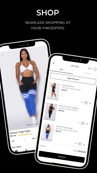
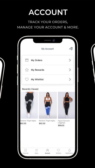
Screenshots


Supl.ai Häufige Fragen
-
Ist Supl.ai kostenlos?
Ja, Supl.ai ist komplett kostenlos und enthält keine In-App-Käufe oder Abonnements.
-
Ist Supl.ai seriös?
Nicht genügend Bewertungen, um eine zuverlässige Einschätzung vorzunehmen. Die App benötigt mehr Nutzerfeedback.
Danke für die Stimme -
Wie viel kostet Supl.ai?
Supl.ai ist kostenlos.
-
Wie hoch ist der Umsatz von Supl.ai?
Um geschätzte Einnahmen der Supl.ai-App und weitere AppStore-Einblicke zu erhalten, können Sie sich bei der AppTail Mobile Analytics Platform anmelden.

Benutzerbewertung
5 von 5
9 Bewertungen in Estland
5 star
8
4 star
0
3 star
0
2 star
0
1 star
0
Bewertungsverlauf
Supl.ai Bewertungen
Keine Bewertungen in Estland
Die App hat noch keine Bewertungen in Estland.
Store-Rankings
Ranking-Verlauf
App-Ranking-Verlauf noch nicht verfügbar
Kategorien-Rankings
App ist noch nicht gerankt
Bombshell Sportswear. Installationen
Letzte 30 Tage
Bombshell Sportswear. Umsatz
Letzte 30 TageSupl.ai Einnahmen und Downloads
Gewinnen Sie wertvolle Einblicke in die Leistung von Bombshell Sportswear. mit unserer Analytik.
Melden Sie sich jetzt an, um Zugriff auf Downloads, Einnahmen und mehr zu erhalten.
Melden Sie sich jetzt an, um Zugriff auf Downloads, Einnahmen und mehr zu erhalten.
App-Informationen
- Kategorie
- Health Fitness
- Herausgeber
- Bombshell Sportswear
- Sprachen
- English
- Letzte Veröffentlichung
- 10.13 (vor 3 Tagen )
- Veröffentlicht am
- Oct 21, 2018 (vor 6 Jahren )
- Auch verfügbar in
- Vereinigte Staaten, Kanada, Australien, Vereinigtes Königreich, Mexiko, Vereinigte Arabische Emirate, Spanien, Schweiz, Sonderverwaltungsregion Hongkong, Italien, Frankreich, China, Deutschland, Kolumbien, Norwegen, Rumänien, Japan, Russland, Tschechien, Ukraine, Neuseeland, Kasachstan, Israel, Malaysia, Finnland, Südafrika, Estland, Irland, Singapur, Saudi-Arabien, Griechenland, Niederlande, Zypern, Schweden, Aserbaidschan, Ecuador, Ungarn, Dänemark, Polen, Litauen, Kuwait, Thailand, Südkorea, Slowakei, Portugal, Brasilien, Türkei, Indonesien, Belgien, Österreich, Indien, Dominikanische Republik, Peru, Taiwan, Algerien, Vietnam, Belarus, Chile, Pakistan, Libanon
- Zuletzt aktualisiert
- vor 6 Monaten
This page includes copyrighted content from third parties, shared solely for commentary and research in accordance with fair use under applicable copyright laws. All trademarks, including product, service, and company names or logos, remain the property of their respective owners. Their use here falls under nominative fair use as outlined by trademark laws and does not suggest any affiliation with or endorsement by the trademark holders.
- © 2025 AppTail.
- Unterstützung
- Privacy
- Terms
- All Apps