Hazards and Population Mapper

Veröffentlicht von: NASA

Beschreibung

Hazards and Population Mapper (HazPop) is a free app that enables users to easily display recent natural hazard data in relationship to population, major infrastructure, and satellite imagery. Hazards data include the location of active fires over the past 48 hours; earthquake alerts over the past seven days; and yesterday′s air pollution data measured from space. The app shows the location of major dams and nuclear power plants and provides more detailed information and imagery for these facilities where available. By drawing a circle around a point or area of interest on the map, users can obtain an estimate of the total population and land area enclosed within.
Developed by the NASA Socioeconomic Data and Applications Center (SEDAC) operated by the Center for International Earth Science Information Network (CIESIN) at Columbia University, HazPop combines data and map layers from various sources including NASA's Land, Atmosphere Near real-time Capability for EOS (LANCE) and Global Imagery Browse Services (GIBS), the U.S. Geological Survey (USGS), and others using a variety of open Web mapping services. The custom population estimates are provided by the SEDAC Population Estimation Service (PES) based on SEDAC′s Gridded Population of the World, version 4 (GPWv4) data for 2015.
HazPop is designed to be used by disaster risk managers, humanitarian response organizations, public health professionals, journalists, and others needing a quick assessment of the potential dangers posed by a major hazardous event or developing emergency. For example, a disaster response agency can obtain a rough estimate of the population and major facilities near a recent earthquake as an input into response planning. Journalists or students can explore the location of recent wildfires relative to dense populations, roads, terrain, and water bodies. Due to the coarse resolution and varying quality of some of the data, HazPop is not intended to support in-depth risk assessment or location-specific response needs.
HazPop supports a number of other functions including: Monitoring regions around an area of interest, e.g. hazardous area prone to natural disasters, major infrastructure, or densely populated areas; Sorting dams, nuclear power plants, or earthquakes by proximity to your location or by their characteristics; Determining the distance from your location to any point on the map or between any two points on the map.
Ausblenden Mehr anzeigen...

Screenshots

Hazards and Population Mapper Häufige Fragen

  • Ist Hazards and Population Mapper kostenlos?

    Ja, Hazards and Population Mapper ist komplett kostenlos und enthält keine In-App-Käufe oder Abonnements.

  • Ist Hazards and Population Mapper seriös?

    Nicht genügend Bewertungen, um eine zuverlässige Einschätzung vorzunehmen. Die App benötigt mehr Nutzerfeedback.

    Danke für die Stimme

  • Wie viel kostet Hazards and Population Mapper?

    Hazards and Population Mapper ist kostenlos.

  • Wie hoch ist der Umsatz von Hazards and Population Mapper?

    Um geschätzte Einnahmen der Hazards and Population Mapper-App und weitere AppStore-Einblicke zu erhalten, können Sie sich bei der AppTail Mobile Analytics Platform anmelden.

Benutzerbewertung
Die App ist in Portugal noch nicht bewertet.
Bewertungsverlauf

Hazards and Population Mapper Bewertungen

Not too Shabby

M. R. Chesser on

Vereinigte Staaten

The app isn’t too bad. I like that I can set notifications. However I’d like if the region monitor size slider was replaced with the ability to type in the size because it is a little tricky to select a specific size.

great reference

so far so good123 on

Vereinigte Staaten

educational

LAUGHABLE!

Imdafisher on

Vereinigte Staaten

Raging California fires and NO notice on this stupid, wasteful app. SAVE YOUR PHONE’S MEMORY AND AVOID 🤮

Disappointing

Snakelips on

Vereinigte Staaten

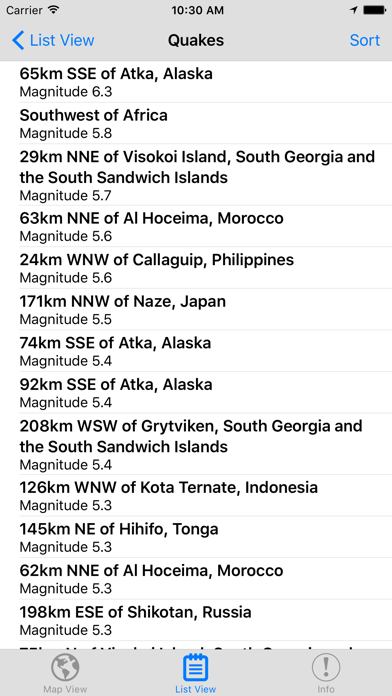
I downloaded this app mainly for active fire information, because I live in Southern California and I wasn't too keep track of fires in my area. Although there have been several wildfires since I downloaded it, and fire services address fighting three fires right now, I have yet to see a single fire labelled in the app. Looks like a waste of storage space.

Store-Rankings

Ranking-Verlauf
App-Ranking-Verlauf noch nicht verfügbar
Kategorien-Rankings
App ist noch nicht gerankt

Hazards and Population Mapper Installationen

Letzte 30 Tage

Hazards and Population Mapper Umsatz

Letzte 30 Tage

Hazards and Population Mapper Einnahmen und Downloads

Gewinnen Sie wertvolle Einblicke in die Leistung von Hazards and Population Mapper mit unserer Analytik.
Melden Sie sich jetzt an, um Zugriff auf Downloads, Einnahmen und mehr zu erhalten.