Beschreibung
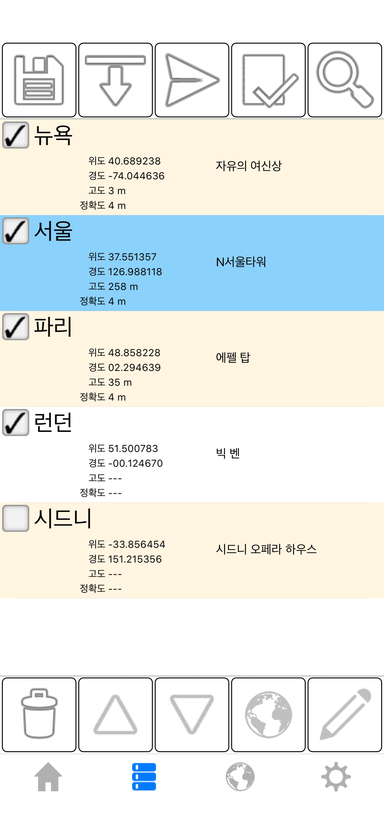
GPS 위치를 쉽게 저장, 편집 및 공유할 수 있습니다.
유료 버전의 혜택:
- 저장 하 고 여러 위치를 보낼.
- 추가 하 고 지도에서 위치를 편집 합니다.
- 풍경과 iPad에 대 한 지원 화면 분할.
- 지도에서 랜드 마크와 주소를 검색합니다. (지오코딩)
- 지도의 지점 근처 주소와 랜드 마크 이름을 찾기 (역 지오 코딩)
- .kml 또는 .kmz 파일에 저장된 가져오기 위치.
- 구글 어스™ 또는 다른 매핑 응용 프로그램에서 볼 수 있습니다 .kml 파일을 내보내기.
- 광고
- 고도
- 사용자 지정 메시지 머리글 및 바닥글
- 큰 레이아웃 보기 좌표, 제목, 속도 및 고도 보여줍니다.
- 상대 베어링 그리고 위치에 거리입니다.
- 메시지 구조 제어 합니다. 각 위치에 대 한 속성 메시지에 표시 하는 방법을 정의 합니다.
쉽게 공유할 이메일, 문자 메시지, 트위터, 페이 스 북, WhatsApp, 등을 통해 GPS 위치. 받는 사람이 그것에 귀하의 위치와 지도 온라인에 대 한 링크를 받습니다. GPS는 지붕에서 잘 작동 하지 않습니다 note 하시기 바랍니다. 최상의 결과 얻으려면 사용 하 여 야외에서.
좌표 형식을 다음과 같습니다.
- 도
- 도, 분
- 도, 분, 초
- UTM / UPS (유니버설 횡방향 메르카터) / (유니버설 폴라 스테레오그래픽)
- MGRS (군사 그리드 참조 시스템)
다음 지도 공급자와 공유:
- 애플 지도
- 구글 맵 스 ™
- 빙 지도 ™
- OpenStreetMap ®
- Yandex.Maps
- HERE.com
- 사용자 지정 지도 URL
속도 단위는 다음과 같습니다.
- 시간 당 킬로미터
- 시간당 마일
- 시간당 마일
- 초당 미터
- 초당 피트
위성 지도 로드는 인터넷 연결이 필요 합니다.
사용 하는 데이텀 WGS-84입니다.
자세한 내용은 웹 페이지를 방문 하시기 바랍니다.
English:
Easily save, edit, and share GPS locations.
Benefits of the paid version:
- Save and send multiple locations.
- Add and edit locations on a map.
- Support for landscape and iPad split screen.
- Search for landmarks and addresses on a map. (Geocoding)
- Find addresses and landmark names near a point on the map (Reverse geocoding)
- Import locations saved in a .kml or .kmz file.
- Export .kml files to view in Google Earth™ or other mapping applications.
- No advertisements
- Altitude
- Custom message header and footer.
- Large layout view that shows coordinates, heading, speed, and altitude.
- Relative bearing and distance to location.
- Message structure control. Define how properties for each location appear in a message.
Easily share your GPS location via email, text messaging, Twitter, Facebook, WhatsApp, etc. The recipient receives a link to an online map with your position on it. Please note that GPS does not work well under a roof. For best results, use outdoors.
Coordinate formats include:
- Degrees
- Degrees, Minutes
- Degrees, Minutes, Seconds
- UTM / UPS (Universal Transverse Mercator) / (Universal Polar Stereographic)
- MGRS (Military Grid Reference System)
Share with any of the following map providers:
- Apple Maps
- Google Maps™
- Bing Maps™
- OpenStreetMap®
- Yandex.Maps
- HERE.com
- Custom map URL
Speed units include:
- Kilometers per hour
- Miles per hour
- Nautical miles per hour
- Meters per second
- Feet per second
Loading satellite maps requires an internet connection.
The Datum used is WGS-84.
Please visit the web page for more details.
Ausblenden
Mehr anzeigen...


