Works great when it doesn’t crash
Seems to be while my screen is rotated but unsure if that’s the reason for the crash.


Да, ArcGIS Field Maps полностью бесплатное и не содержит встроенных покупок или подписок.
⚠️ Приложение ArcGIS Field Maps имеет низкие оценки и отрицательные отзывы. Пользователи, похоже, недовольны его качеством или функциями.
Приложение ArcGIS Field Maps бесплатное.
Чтобы получить оценку дохода приложения ArcGIS Field Maps и другие данные AppStore, вы можете зарегистрироваться на платформе мобильной аналитики AppTail.

2.57 из 5
30 оценок в Канада
Seems to be while my screen is rotated but unsure if that’s the reason for the crash.
It’s good, but every time I try and add an offline area, it just says download fail
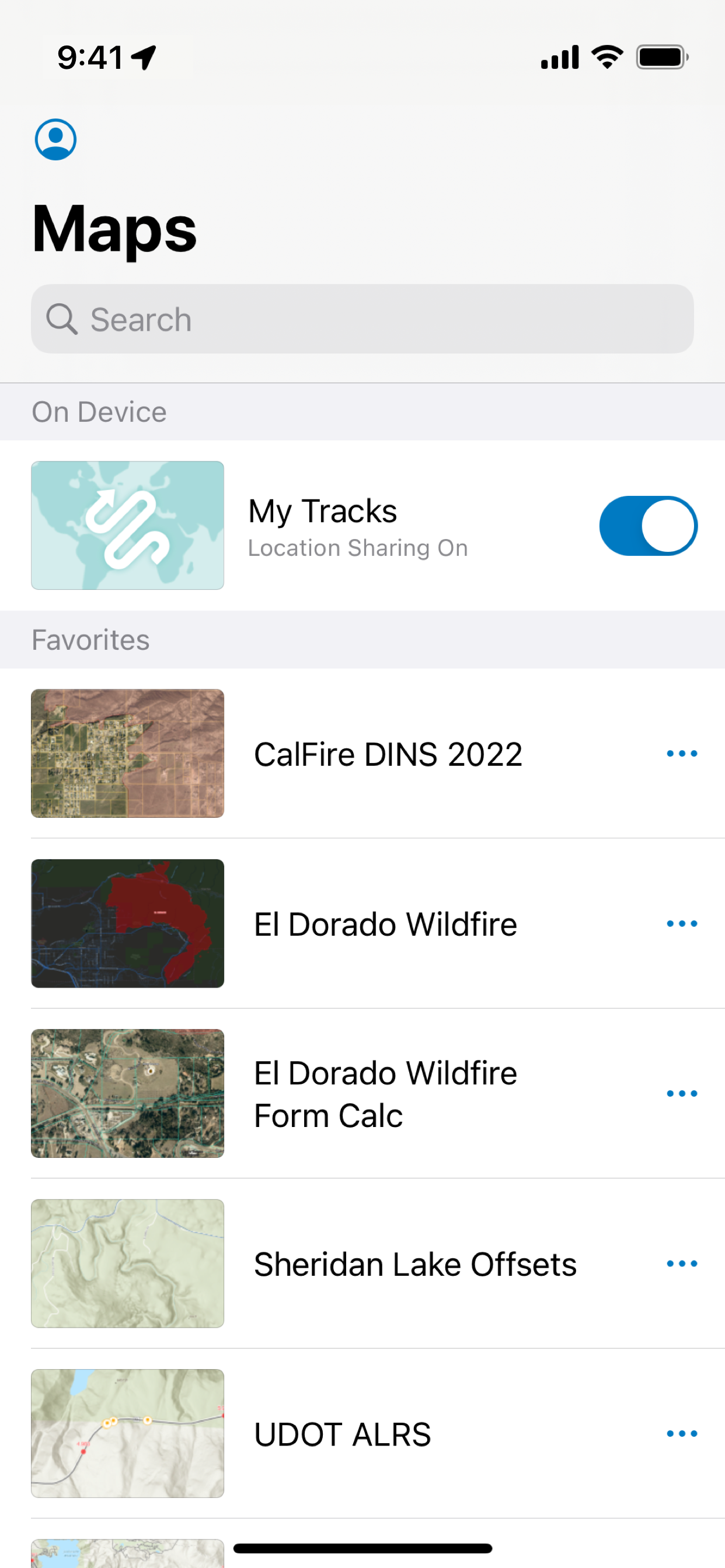
This app is fine, but it could be so much better. One of the many things you could improve right now is having the cone of vision always be present to show where you are facing. That cone is way too small and faint on the app when it is enabled. It comes standard in Apple Maps, so I do not see why it has to be so tiny. Another problem is the bouncing around. You constantly bounce around on the map, so if you are trying to geolocation yourself to a point it will be completely off base. I think it tries to predict where you are, but I’m not certain. But since this is literally the only game in town, they aren’t going to change any of it
This tech is a time saver when it’s working good. However, offline is always hit or miss if it’s going to work and causes a lot of frustration and trial and error. It would also be nice if we could use a stylus to draw features instead of clunky tap and add point.
Search by later does not work with tablet or phone it only works in desktop and that defeats the purpose it’s unfortunate that this does not get fixed
All in all working in offline mode functions pretty well after you have enough experience to figure out all the quirky non-intuitive issues. For example, the photo direction (I.e. - exif data) is apparently not captured when you actually take the photo but when you “add data” or “update point” so if you change direction to take the photo the direction arrow in your field report/photo log will be off. Or if you hit “update” point while in landscape thinking you are refining your location and direction, your photo direction in your photo log will actually be off 90 degrees since the app is set up to lock it in while holding it in a portrait position (so you basically need to first rotate it back to portrait position and hold your phone at as close to the same direction in portrait as you took the photo in landscape to lock in the correct direction)….very annoying it doesn’t just use the exif data the moment a photo is taken.
One of the better maps is one based on “National Geographic World Map”. What’s better about it? It shows a lot more permanently flowing water sources. And we all know that you can’t live 3 days without water. You’re on your last legs due to dehydration. And there’s a small stream only 1/4 of a mile away. This app and a National Geographic World Map could be the difference between life and death. Call up the app and do a couple of screenshots of the area you’ll be in beforehand with streams that don’t show up on Google Maps and the like.
20% of the time it always shows (required token) yea i can sign out and sign back in and 50/50 will fix it, or i can close the app randomly check again after a few minutes and it starts to work again
Offline mode works when stars align. Be prepared for syncing issues. Have fun working in AGOL! If you like finding work around solutions at every step, this is the app for you.
App locks up, or will give you unable to submit notice and no longer function at least once a day. The cure is of course to delete it and download it again. Imagery is also out of date and of marginal quality. Otherwise it does what it’s supposed to do.
|
Рейтинг
|
Категория
|
Позиция
|
|---|---|---|
|
Топ бесплатных
|
|
229
|
|
Топ бесплатных
|

|
278
|
|
Топ бесплатных
|

|
310
|
|
Топ бесплатных
|
|
339
|
|
Топ бесплатных
|

|
343
|
