Très utile
J’ai commencé à m’en servir, bravo


Да, DONIA можно скачать бесплатно, однако в приложении есть встроенные покупки или подписки.
🤔 Приложение DONIA кажется неплохим. Есть возможности для улучшения, но в целом оно удовлетворяет пользователей.
DONIA имеет несколько покупок/подписок внутри приложения, средняя цена покупки составляет 295.50 đ.
Чтобы получить оценку дохода приложения DONIA и другие данные AppStore, вы можете зарегистрироваться на платформе мобильной аналитики AppTail.

J’ai commencé à m’en servir, bravo
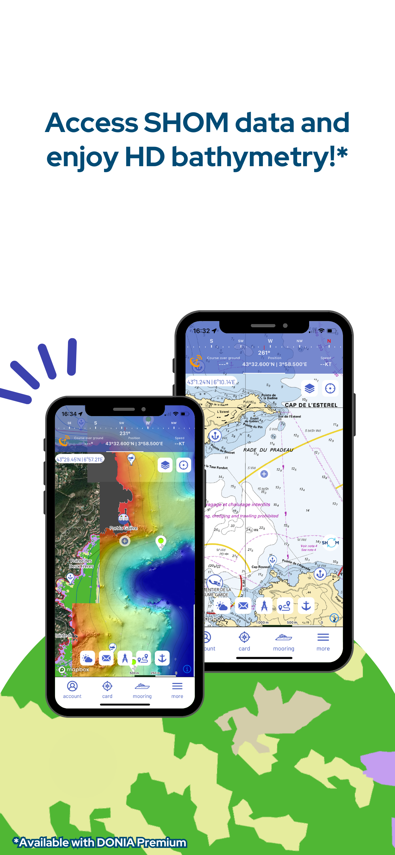
Appli impressionnante pour la localisation de la nature des fonds. J’ai même pris la version premium, qui inclut les cartes SHOM. MAIS MAIS une fois l’affichage SHOM demandé, impossible de revenir à l’affichage nature des fonds. Il faut sortir de l’appli et ensuite la relancer. Perte de temps. La fonction ancrage et alarme dérapage ne s’active pas. Donc 2 étoiles en moins… Relevé AIS inconstant. Visible seulement si localisation désactivée( sur IOS). Et encore, il n’y a rien dans la région Toulon (!), mais Ok vers Marseille ou St-Tropez… et dans plein d’ailleurs dans le monde… Seule question : Quelle utilité pour un Premium, certes peu coûteux, mais inexploitable ou versatile? Mais pour le choix du lieu de mouillage, c’est top. C’est même le top la nuit (ce serait toptop si, couplé à SHOM, on avait les profondeurs et récifs).
Application facile d’emploi Très intuitive Précision de la cartographie
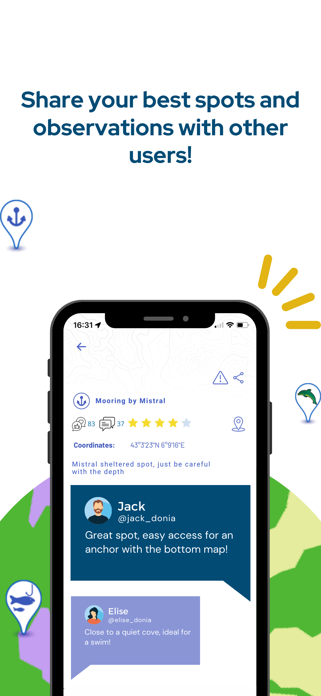
Bonne précision , facile pour repérer les bancs de sable , un pti geste en plus pour protéger la Posidonie a s’en servir sans modérations.
Précis, fiable, pratique, validé. 😎
Je l’utilise régulièrement pour les mouillages ça permet de préserver la posidonie et d’éviter les rochers pour éviter de coincer l’ancre Merci à vous
Bravo à l équipe de développeurs C’est une appli au top
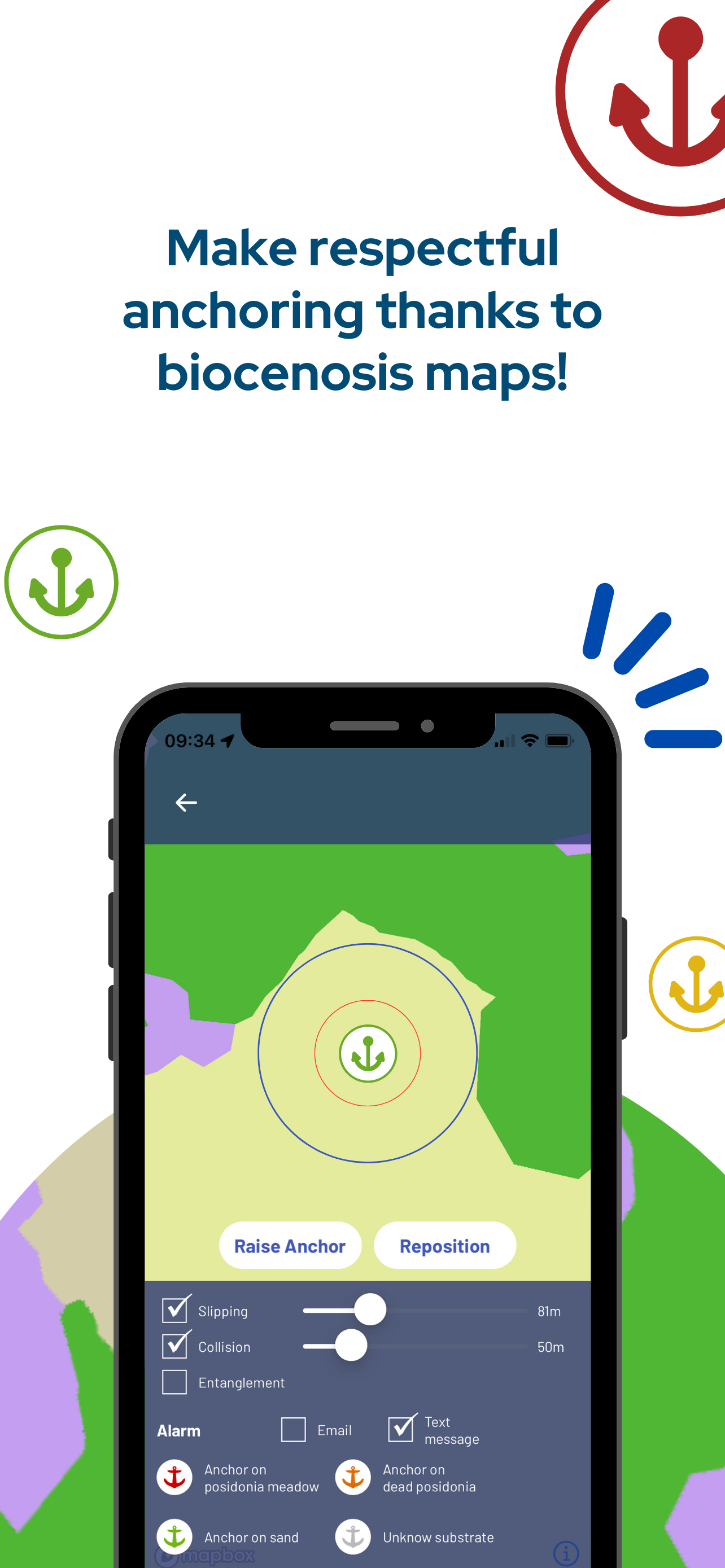
Le permis bateau ne nous apprend pas à poser une ancre, ni à la remonter correctement. Alors, au moins ancrons-nous sur du sable, c’est ce que Donia permet de faire (entre autres) !
Super application avec toutes les fonctionnalités qu’il faut pour trouver le bon endroit pour mouiller
Je recommande cette application. Je m’adresse aux développeurs, une ligne indiquant la zone des 300m tout le long des côtes, visible sur vos cartes, serait d’une grande utilité et intéresserait de nombreux plaisanciers. Merci pour votre application bien utile.
|
Рейтинг
|
Категория
|
Позиция
|
|---|---|---|
|
Топ по доходу
|

|
49
|
|
Топ по доходу
|

|
75
|
|
Топ по доходу
|

|
76
|
|
Топ бесплатных
|
|
287
|
|
Топ бесплатных
|

|
306
|
