Love this
Love this app for its pure simplicity and how stable it is. Would love to see in the future the ability to upload geo referenced maps (pdf) in the future. Would make the app just perfect


Да, FireMapper полностью бесплатное и не содержит встроенных покупок или подписок.
Недостаточно отзывов для надежной оценки. Приложению нужно больше отзывов пользователей.
Приложение FireMapper бесплатное.
Чтобы получить оценку дохода приложения FireMapper и другие данные AppStore, вы можете зарегистрироваться на платформе мобильной аналитики AppTail.

Love this app for its pure simplicity and how stable it is. Would love to see in the future the ability to upload geo referenced maps (pdf) in the future. Would make the app just perfect
The ongoing development of this app demonstrates the dedication of the developer to deliver the ultimate solution for firefighter mapping. Highly recommended. A must have.
The Developers understand what this tool needs to do, and are constantly working to refine and expand its capabilities. The enhanced situational awareness this app supports has already saved houses. Thanks Guys.
Easy to use, easy to share info, great work by the team.
This is an excellent tool for collecting info in the field and discussing results with others. The developments since its beginning have been tremendous.
Love this, keep it simple!
When the app works properly it is great, but every now and then it crashes and you lose everything.
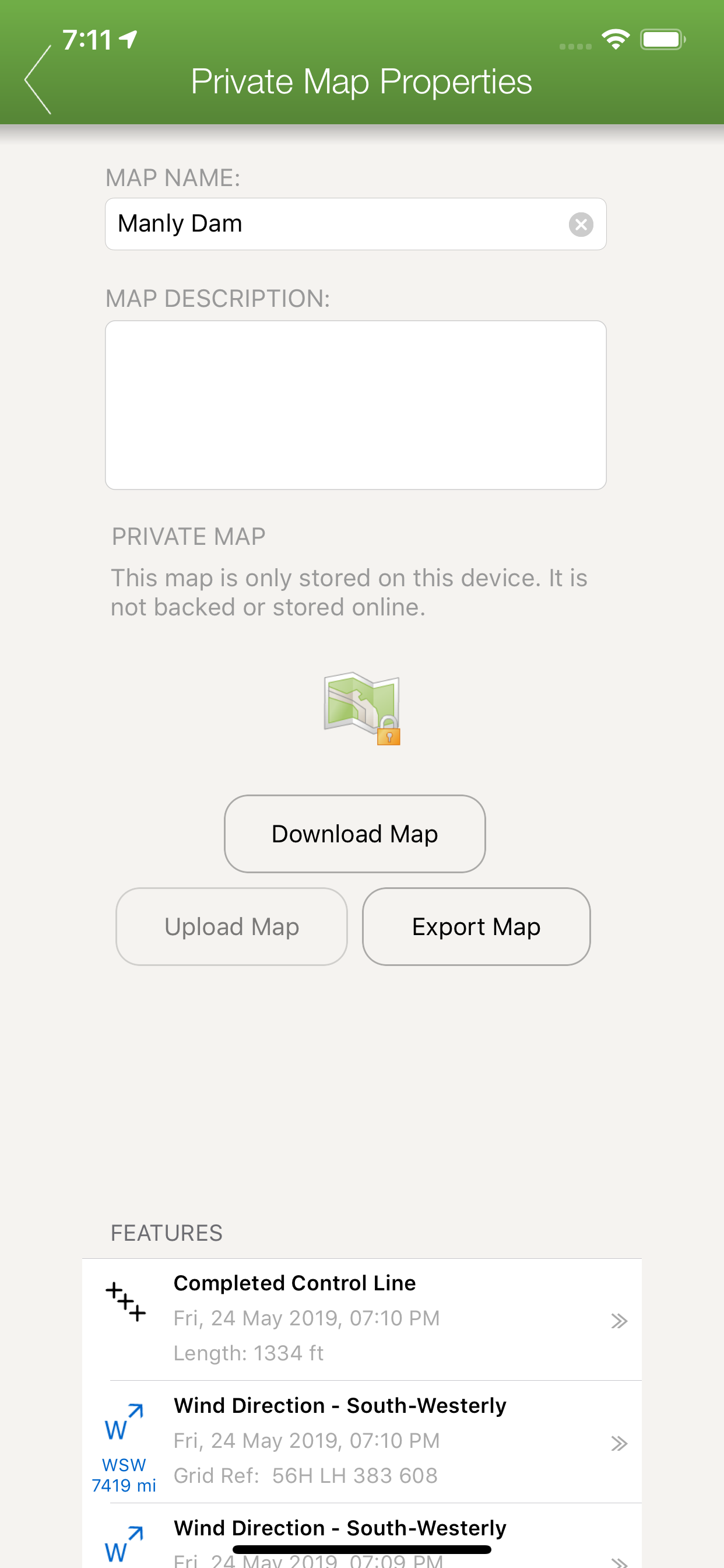
App needs to provide the ability to draw in fire lines and control line. Currently it's not worth the $5 bucks without the control line and fire line function. Would be four star plus if the fire/control line function is added in.
|
Рейтинг
|
Категория
|
Позиция
|
|---|---|---|
|
Топ платных
|
|
22
|
|
Топ по доходу
|
|
79
|
|
Топ платных
|

|
106
|
|
Топ платных
|

|
202
|
|
Топ платных
|

|
220
|
| Name | Скачивания (30d) | Ежемесячный доход | Отзывы | Оценки | Последнее обновление | |
|---|---|---|---|---|---|---|

OzRunways EFB
Flight Planner, EFB & GPS
|
Открыть
|
Открыть
|
0
|
|
1 неделю назад | |

Gold Maps
Gold Maps Australia
|
Открыть
|
Открыть
|
0
|
|
3 года назад | |

AvTraffic
Aviation Traffic
|
Открыть
|
Открыть
|
0
|
|
3 недели назад | |

N/A
N/A
|
Открыть
|
Открыть
|
0
|
|
3 дня назад | |

Trees Near Me NSW
What trees grow near you?
|
Открыть
|
Открыть
|
0
|
|
5 месяцев назад | |

Travelling Fit Wallet
|
Открыть
|
Открыть
|
0
|
|
8 месяцев назад | |

Ember Map
Fire Maps & Navigation
|
Открыть
|
Открыть
|
0
|
|
2 месяца назад | |

Brisbane Guide
Essential Travel Companion
|
Открыть
|
Открыть
|
0
|
|
1 год назад | |

LogsKeptSimple
N/A
|
Открыть
|
Открыть
|
0
|
|
10 месяцев назад | |

Black Rock Travel
|
Открыть
|
Открыть
|
0
|
|
8 месяцев назад |
