Abnormal application terminations
Abnormal application terminations


Да, OpenSeaMap можно скачать бесплатно, однако в приложении есть встроенные покупки или подписки.
⚠️ Приложение OpenSeaMap имеет низкие оценки и отрицательные отзывы. Пользователи, похоже, недовольны его качеством или функциями.
OpenSeaMap имеет несколько покупок/подписок внутри приложения, средняя цена покупки составляет $1.99.
Чтобы получить оценку дохода приложения OpenSeaMap и другие данные AppStore, вы можете зарегистрироваться на платформе мобильной аналитики AppTail.

Abnormal application terminations
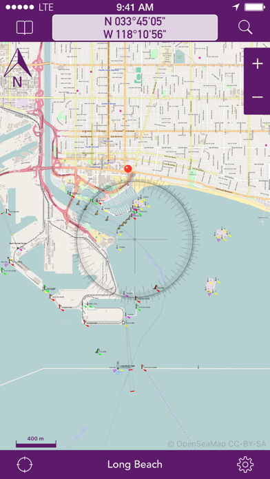
Dieses Projekt hat das Spiel nicht verstanden - diese App enthält keinerlei Tiefenangaben. Die Angabe der Wassertiefen ist ein absolutes Muss in einer Seekarte. Um es klar zu sagen, eine solche Seekarte ist gefährlich, weil überhaupt nicht zu erkennen ist, wo ich denn nun mit meinen Schiff entlang fahren kann. Open hin oder her - da muss dick drüber geschrieben werden, bitte nicht zum navigieren nutzen!
Eine nutzlosere App ist nicht vorstellbar. Keine Tiefenangaben. Unglaublich. 🤮
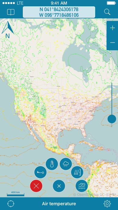
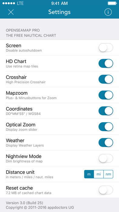
Obwohl die Karten-offline Funktion angepriesen wird, ist es nicht möglich. Seetiefen werden nicht angezeigt, die App-Menüs sind unvollständig... sehr schlecht !
Die App ist eine Katastrophe. Es dauert ewig, bis die Karte dargestellt wird - und das auf aktuellster Hardware. An besonderen Features wird leider auch nichts geboten was diese lange Wartezeit entlohnen würde. Die Karten selbst sind hervorragend. Schade, dass es keine Alternative zu dieser App gibt - das Kartenmaterial hat eindeutig Besseres verdient. Vielleicht könnte man nach 3 Jahren mal wieder ein Update zu Markte bringen...
App hat seit Jahren kein Update bekommen, ändert sich dies?
Völlig untauglich und somit Geld verbrannt
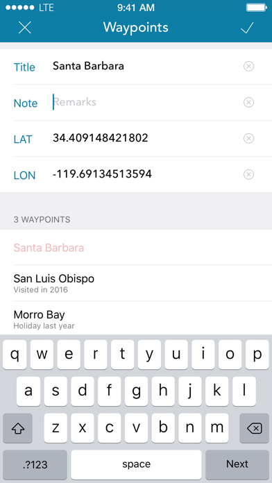
Es werden weder Wassertiefen angezeigt, noch lassen sich Entfernung berechnen, eigene festgelegte Positionen bleiben nur in der List abrufbar, werden nicht angezeigt. Habe die Pro Version gekauft, aber die bietet nur die Möglichkeit mehr Wegepunkte zu speichern. Das sie abstürzt kommt als weitere Kritikpunkt dazu. So wird die Idee von Open Surce missbraucht.
Größe der Karte lässt sich nicht ändern. Alles unscharf. Keine Kursanzeige. Ach, was soll’s, ist sinnlos weiter zu schreiben, so viele Fehler.
Absolut sinnlos. Stürzt ab ruckelt, Wegpunkte funktionieren nicht. Blos nicht kaufen
|
Рейтинг
|
Категория
|
Позиция
|
|---|---|---|
|
Топ бесплатных
|

|
252
|
|
Топ бесплатных
|

|
270
|
|
Топ бесплатных
|

|
434
|
|
Топ бесплатных
|

|
482
|
| Name | Скачивания (30d) | Ежемесячный доход | Отзывы | Оценки | Последнее обновление | |
|---|---|---|---|---|---|---|

WWF Nautical Chart
|
Открыть
|
Открыть
|
0
|
|
4 месяца назад | |

NV Charts GPS Navigation AIS
Marine Navigation and Boating
|
Открыть
|
Открыть
|
0
|
|
6 месяцев назад | |

Anchor Alarm / Watch
The anchor watch for your boat
|
Открыть
|
Открыть
|
0
|
|
1 месяц назад | |

mySea
|
Открыть
|
Открыть
|
0
|
|
4 месяца назад | |

SeaHelp
Sea assistance service
|
Открыть
|
Открыть
|
0
|
|
2 месяца назад | |

Boatpark
|
Открыть
|
Открыть
|
0
|
|
1 месяц назад | |
Port-Guide
Der Hafenführer für unterwegs.
|
Открыть
|
Открыть
|
0
|
|
2 года назад | |

Yacht Navigator|Kartenplotter
Plotter für Sportbootkarten
|
Открыть
|
Открыть
|
0
|
|
1 год назад | |

SEAiq
|
Открыть
|
Открыть
|
0
|
|
2 месяца назад | |

KartenWerft NavGo 2.0
|
Открыть
|
Открыть
|
0
|
|
2 месяца назад |
