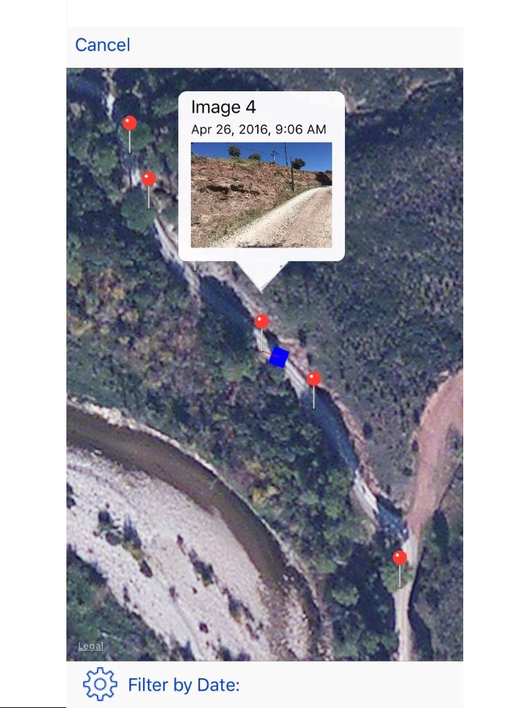
Outcrop Review
Horrible app, little to no instructions, just a drawing tool for photos that is full of bugs.


Да, Outcrop полностью бесплатное и не содержит встроенных покупок или подписок.
Недостаточно отзывов для надежной оценки. Приложению нужно больше отзывов пользователей.
Приложение Outcrop бесплатное.
Чтобы получить оценку дохода приложения Outcrop и другие данные AppStore, вы можете зарегистрироваться на платформе мобильной аналитики AppTail.

1.67 из 5
3 оценок в Соединенные Штаты
Horrible app, little to no instructions, just a drawing tool for photos that is full of bugs.
| Name | Скачивания (30d) | Ежемесячный доход | Отзывы | Оценки | Последнее обновление | |
|---|---|---|---|---|---|---|

FieldMove Clino
|
Открыть
|
Открыть
|
12
|
1
|
2 месяца назад | |
LidarCad
Professional Cad Solution
|
Открыть
|
Открыть
|
5
|
|
2 года назад | |

GIS Lite
N/A
|
Открыть
|
Открыть
|
1
|
|
5 месяцев назад | |

iDig - Recording Archaeology
A Digital Excavation Notebook
|
Открыть
|
Открыть
|
0
|
|
6 месяцев назад | |

Construction+
Asphalt,Concrete,Drywall,Roofs
|
Открыть
|
Открыть
|
2
|
|
7 месяцев назад | |

ArchMonitor
|
Открыть
|
Открыть
|
0
|
|
1 год назад | |

GPS Units Converter Lite
|
Открыть
|
Открыть
|
0
|
|
3 года назад | |

Mapboard GIS
Draw your field maps into GIS
|
Открыть
|
Открыть
|
1
|
|
3 месяца назад | |

GEO5 Data Collector
|
Открыть
|
Открыть
|
0
|
|
11 месяцев назад | |

Geology Clinometer: GeoCompass
Measure and make notes
|
Открыть
|
Открыть
|
0
|
|
2 месяца назад |
