Great App
Great SST App. Plus many more features.


Да, RipCharts можно скачать бесплатно, однако в приложении есть встроенные покупки или подписки.
✅ Приложение RipCharts кажется качественным и надежным. Пользователи очень довольны.
RipCharts имеет несколько покупок/подписок внутри приложения, средняя цена покупки составляет €199.99.
Чтобы получить оценку дохода приложения RipCharts и другие данные AppStore, вы можете зарегистрироваться на платформе мобильной аналитики AppTail.

Great SST App. Plus many more features.
I got this app 3 years ago and it way improved my accuracy to find blue water for tuna. This year I also started using it to find 57 degree water for salmon. Love the multiple shots I get over the day for a comprehensive trend of the water & currents. I use the layers & tools to find structure & distance. It’s the one app I pay for every year. I Love this app!
Get RipCharts and get on the fish!!
I have been using Rip Charts for several years and it has paid off with fish and not waisted fuel.
I’ve been using Rip Charts for a decent amount of years and have always liked the quality and price. Gives plenty of info for serious offshore and bay fishing in MD. I use it for early season crabbing in the Chesapeake.
Tried them all and this is the best in so many ways. Won’t be disappointed AT ALL. This is what you have been looking for
Please update app to fix issues on newer devices. The ‘pinch to zoom’ feature is all messed up. Great features, terrible interface.
Ripcharts is a very user friendly platform. After viewing the application’s educational videos and tutorials online I have been able to find the optimal areas for making a decision on the best locations for maximizing the trip success . Nothing is a guarantee in the realm of fishing but Ripcharts will 100% give you an advantage. Thanks for making a great tool for any and all fishermen 🤙🤙🤙sobx
They never respond back
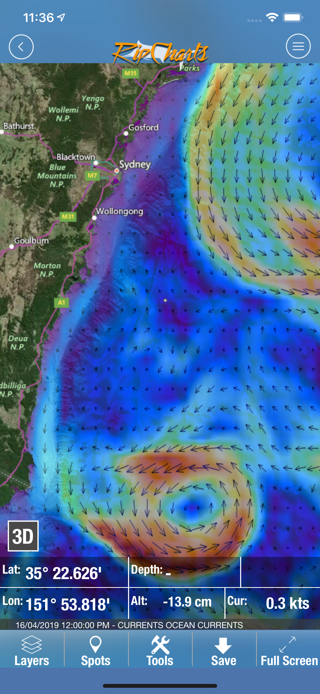
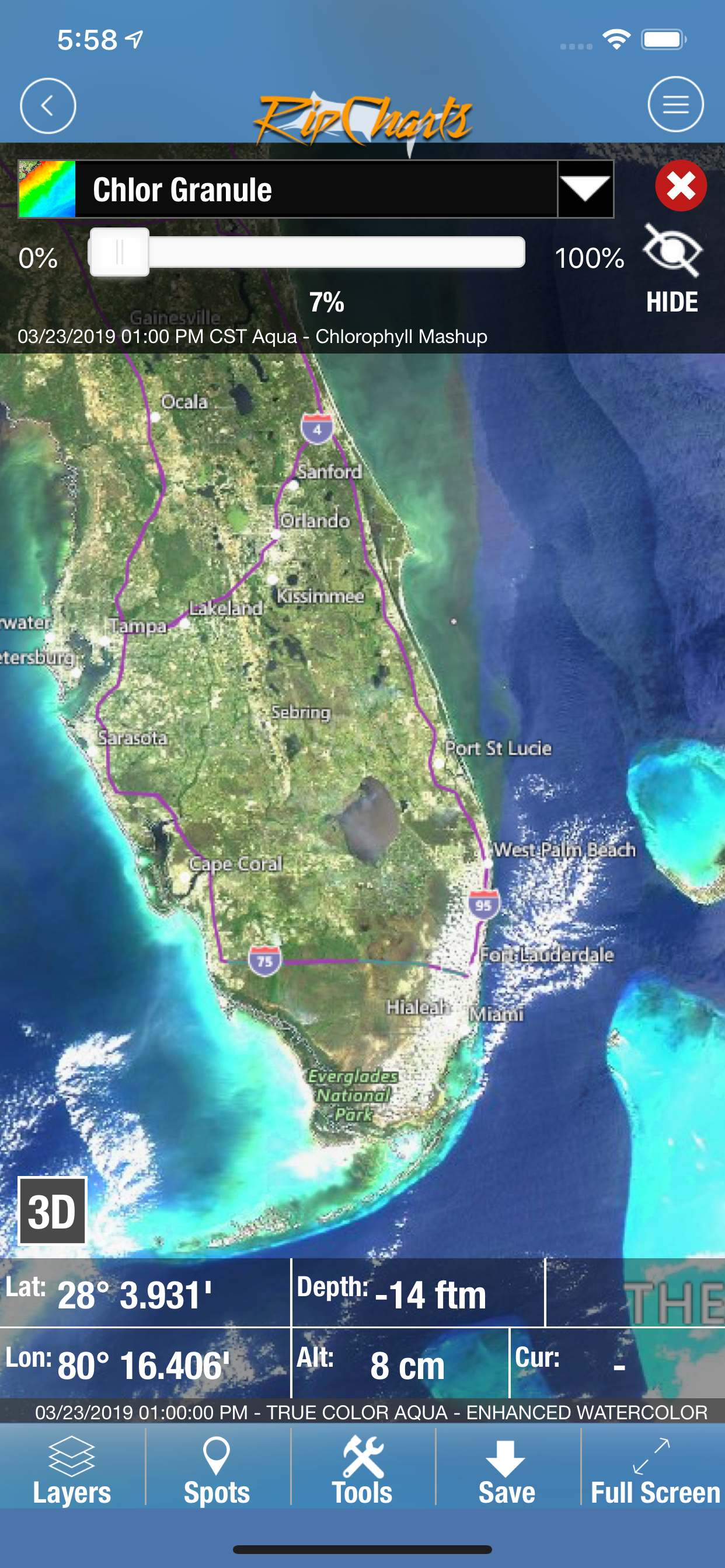
This is a must have for planning your next offshore trip. This app has lots of little options to help assist your next fishing trip. I can overlay the sea surface temps with chloro or other charts. You can measure point to point for distance, and set a point for GPS locations.
|
Рейтинг
|
Категория
|
Позиция
|
|---|---|---|
|
Топ по доходу
|

|
47
|
|
Топ по доходу
|

|
64
|
|
Топ по доходу
|

|
95
|
|
Топ бесплатных
|
|
305
|
|
Топ бесплатных
|

|
359
|
