Love It!
Works Good. Love it.

Да, Scenic Map Central USA полностью бесплатное и не содержит встроенных покупок или подписок.
🤔 Качество приложения Scenic Map Central USA спорное. Некоторые пользователи довольны, в то время как другие сообщают о проблемах. Рекомендуем ознакомиться с отдельными отзывами для получения более полной картины.
Приложение Scenic Map Central USA бесплатное.
Чтобы получить оценку дохода приложения Scenic Map Central USA и другие данные AppStore, вы можете зарегистрироваться на платформе мобильной аналитики AppTail.

Works Good. Love it.
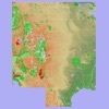
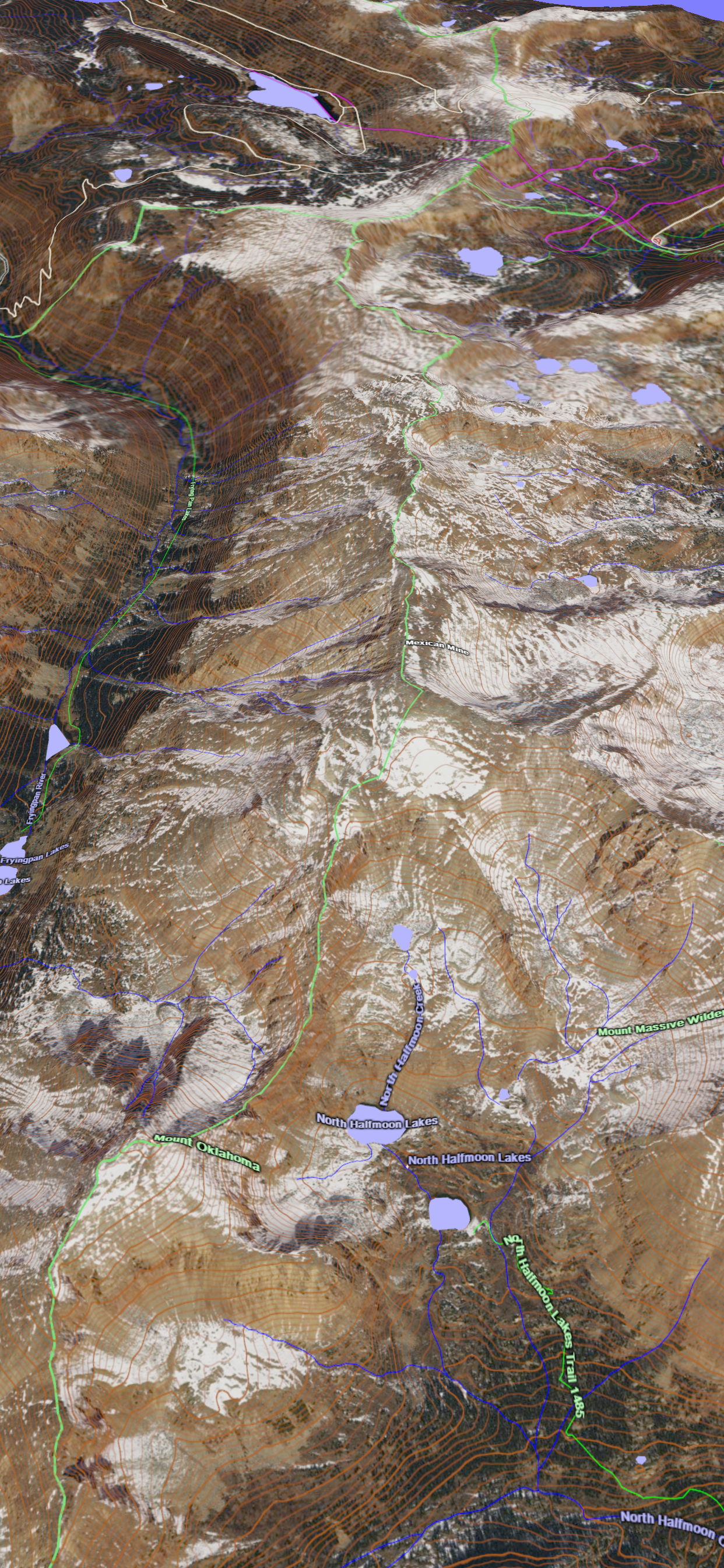
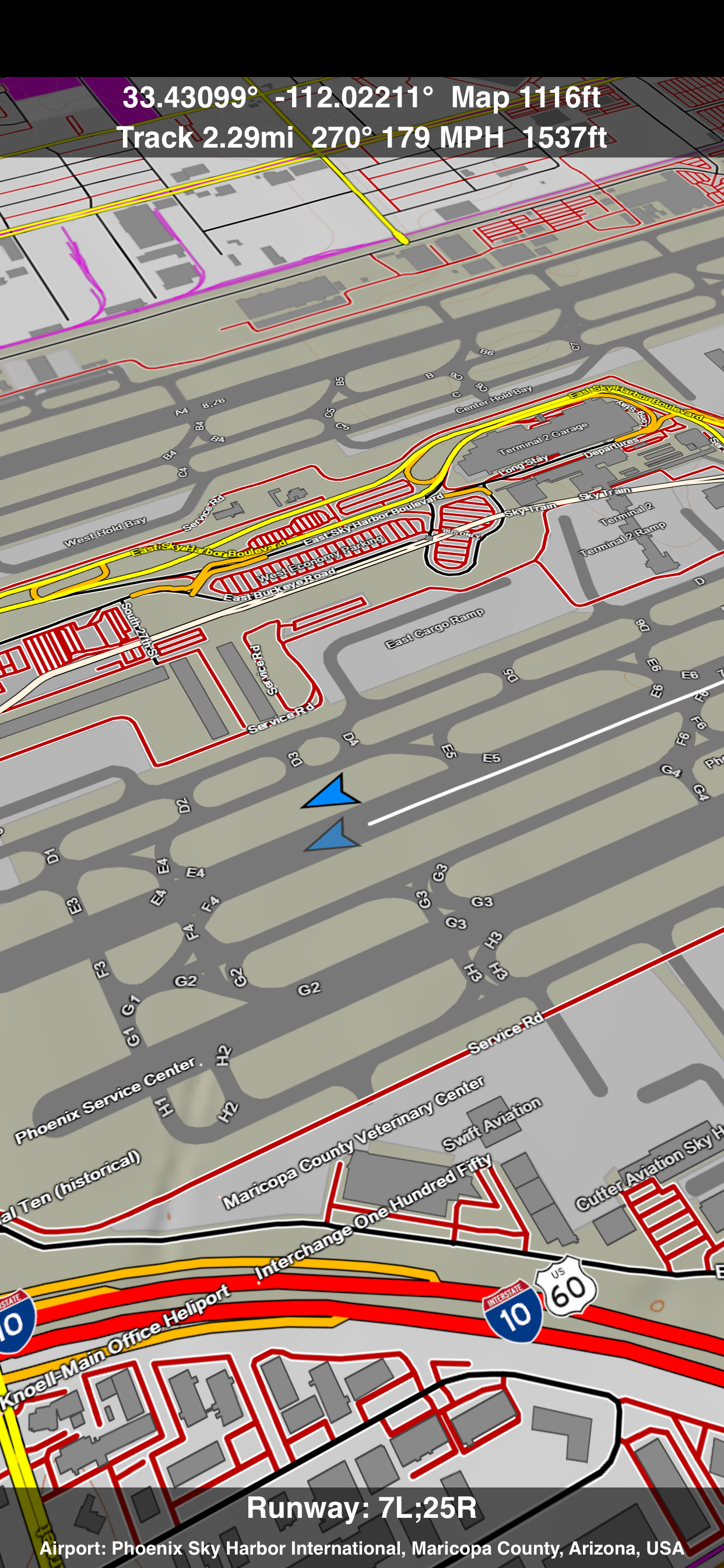
this app is awesome! not as detailed as a USGS quadrangle but a nice balance between topo and road maps. very easy to navigate and also has nice features like the ability to measure distances, get lat and long info and find the names of unknown features by hovering an icon above them. The file is enormous but where else can you get this kind of map coverage without having to depend on cell service or Wi-Fi? Highly recommended.
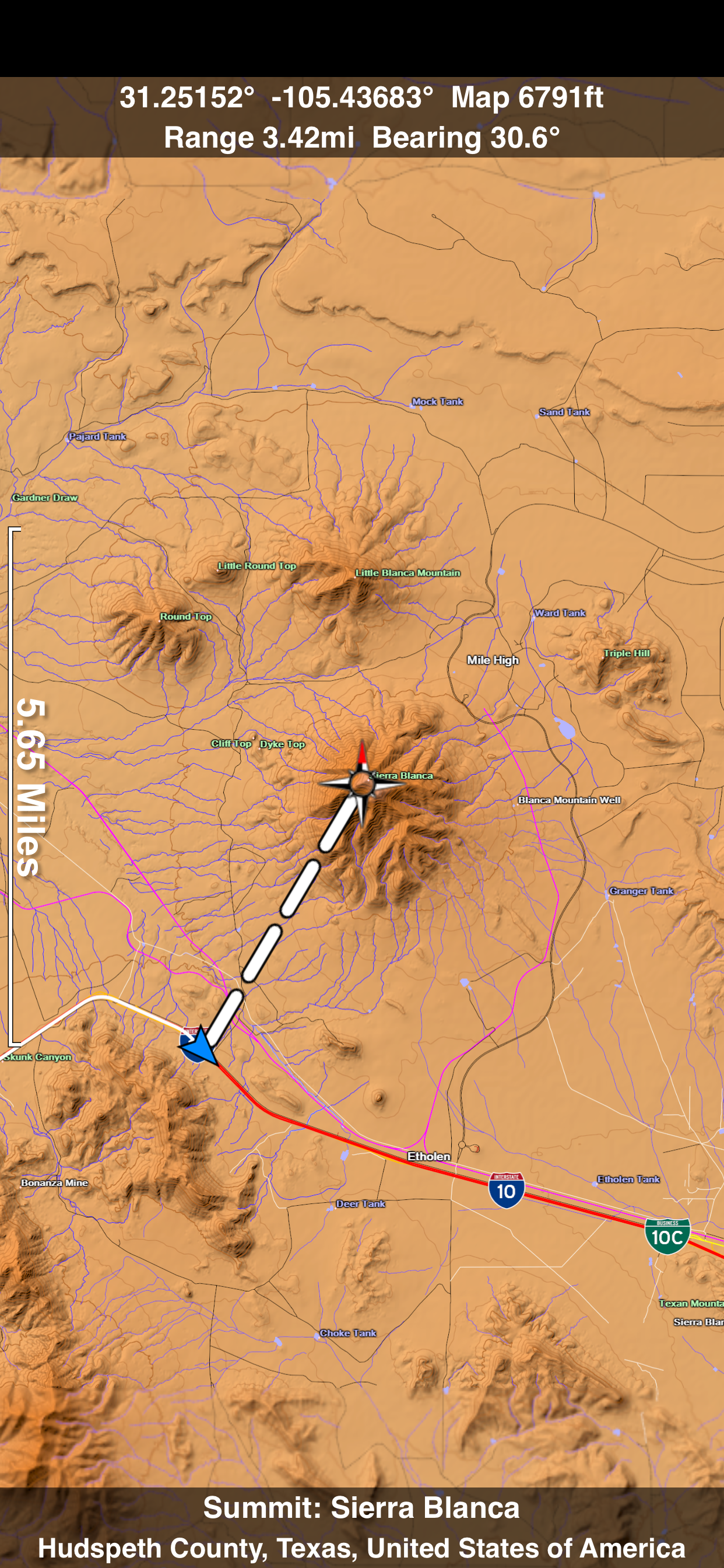
I bought this app for Avalanche training in Rocky Mountain National Park. The 3d terrain was a great help. The compass was also very helpful for figuring out aspects of mountain faces. Topographical Map navigation was straight forward with the GPS enabled. The only reason I didn't give it 5 stars is route planning. It would be very good to be able to draw a route and get information on that route (slope, elevation gain, etc) There is a way to do some basic measurements using navigation and waypoints. In some of the computer based topographical map programs that I've used - you could draw with a mouse a route and it would generate a route profile.
First, I totally agree with the description listed by the seller. His preview screens show what you can expect, and the app does what he says it will do. Likes: Roads stay on map when zooming out, big plus Several preset views (5) Off line, great when your 50 miles from a cell tower Great detail, terrain, roads. I bought the Western US, I travel back roads in Utah, WY, and CO, Just bought Central US, more roads I travel often. Dislikes: Huge local file size, but worth the wait downloading if you need offline access. I've got the 64 Gb; 16 Gb users may not have the free space (plan on 4-5 Gb/area) Recommend to a friend: Yes Primary used on iPad, may load on iPhone to try GPS functions Use: I have 7-8 other map apps, topo, GPS, Nav, etc, this map has smooth scrolling, fairly fast refresh (iPad 3rd Gen), smooth terrain features, 3D feature is nice. Best feature is small dirt roads don't disappear when you need to zoom out. One giant download and you've got 1/3 of the US in your hands, well worth the price. This app makes paper Atlas obsolete 💯 I have not used this with or for GPS tracking, other reviews reported it works well in that arena.
Please update for retina display! It looks horrible on new iPad ;(
Just wanted to let you know that Scenic Map absolutely destroys any other topo map! You should start posting on the 4x4 sites, as the maps are perfect for off roading. I have an FJ Cruiser and frequently make expeditions into New Mexico’s back country (Jemez, Gila National Forest, Cabezon Wilderness, etc) and did not feel that the topo maps that come with my Garmin 3790 are worth the $80 that Garmin charges for them. They also are not optimized for Garmin displays, so they look like crap and it’s hard to get the big picture of the terrain that your in. I was desperate to find a product that would give me a much more detailed view of the terrain, and BLAM!!! Scenic maps to the rescue. With these maps, I know can scout from the comfort of my couch, the routes that I’d like to make runs on. Basically, it’s a life saver due to the fact, that I know what lies ahead in terms of the ruggedness of the terrain. Please keep up your outstanding work! I am really looking forward to new versions/updates! This summer I’m planning a trip through the Gila National Forest, which will take us through over 150 miles of forest/fire roads, in the remote back country and I have never felt more confident in taking on anything that the back country has in store for me thanks to Scenic Map.
Buggy
I purchased the Western USA version of this app some time ago and love it so much I bought the others. This mapping app is great for planning driving trips and also for recording GPS tracks. I use it as a moving map so I can see what is around me as I drive. I have the iPad mounted on my dash where I can see it without having to look away from the road. For driving directions I use a TomTom GPS as well. I now have a collection of my driving trip tracks that I can play back with Scenic Map. That is a pretty cool feature because I can see every stop I made. I also export my tracks as GPX files which I can load into other programs such as Google Earth. This latest version has a nice feature that lets me fly around the country in 3D. There are lots of options to control how the map is displayed. I can turn off everything but the terrain. I can even turn that off and end up with a flat contour map. There is even an option to display the ground in its natural colors and see how the colors change month to month throughout the year. Get the free Scenic Map Grand Canyon if you want to try out this app before you buy. Don't be surprised if you end up owning all of them like me.
DO NOT BUY this app! Download "you need a map" instead. That app is free and it is the EXACT same thing!
I am running this on an iPad 2 and it's a bit jerky. On anything slower it might be really slow. After I downloaded the $9.99 Central USA Map I realized it does not include my location (St. Louis). A quick check back on the site information doesn't seem to point out where the maps break. If you're buying all of them this won't be an issue.
|
Рейтинг
|
Категория
|
Позиция
|
|---|---|---|
|
Топ платных
|

|
291
|
|
Топ платных
|

|
345
|
|
Топ платных
|

|
348
|
|
Топ платных
|

|
373
|
|
Топ платных
|

|
395
|
| Name | Скачивания (30d) | Ежемесячный доход | Отзывы | Оценки | Последнее обновление | |
|---|---|---|---|---|---|---|

Savannah Coastal Refuges
|
Открыть
|
Открыть
|
0
|
|
2 месяца назад | |

Georgia Pocket Maps
Georgia Outdoor Guide
|
Открыть
|
Открыть
|
0
|
|
1 месяц назад | |

Wyoming Pocket Maps
Wyoming Outdoor Guide
|
Открыть
|
Открыть
|
0
|
|
1 месяц назад | |

Byways Magazine
US/Canada Travel Destinations
|
Открыть
|
Открыть
|
0
|
|
3 года назад | |

Blue Ridge Parkway Guide
|
Открыть
|
Открыть
|
0
|
|
1 год назад | |

Texas Pocket Maps
Outdoor Guides & Maps
|
Открыть
|
Открыть
|
0
|
|
1 месяц назад | |
USA States - Map Tracker
|
Открыть
|
Открыть
|
0
|
|
1 год назад | |

Lake Tahoe Pocket Maps
Outdoor Guides & Maps
|
Открыть
|
Открыть
|
0
|
|
1 месяц назад | |

North Lake Tahoe Express
North Lake Tahoe Express
|
Открыть
|
Открыть
|
0
|
|
1 месяц назад | |

WW2 Tours
|
Открыть
|
Открыть
|
0
|
|
3 недели назад |
