Disappointing
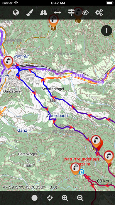
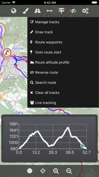
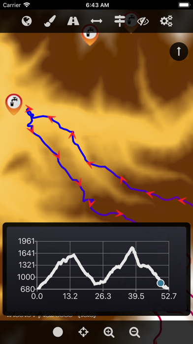
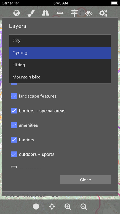
I wanted to try out this app, and I notice that, although the screenshots show contour lines, various map styles, etc, I find no way to display them. It seems that these features only belong to the "Pro version".
Yes, Cartograph 2 Lite Map Viewer is completely free and it doesn't have any in-app purchases or subscriptions.
Not enough reviews to make a reliable assessment. The app needs more user feedback.
Cartograph 2 Lite Map Viewer is free.
To get estimated revenue of Cartograph 2 Lite Map Viewer app and other AppStore insights you can sign up to AppTail Mobile Analytics Platform.

1 out of 5
1 ratings in France
I wanted to try out this app, and I notice that, although the screenshots show contour lines, various map styles, etc, I find no way to display them. It seems that these features only belong to the "Pro version".
That‘s the best app I found to use offline maps from OpenAndroMaps.org. Unfortunately, on my iPhone 13 Pro is doesn’t recognize my touch gestures well such that I can’t zoom out/in and move the map with my fingers. With this bug I can‘t use this app. Is this bug fixed in the paid version?
| Name | Downloads (30d) | Monthly Revenue | Reviews | Ratings | Recent release | |
|---|---|---|---|---|---|---|

Guru Maps: Navigateur & Cartes
Itinéraires hors ligne, GPS
|
Unlock
|
Unlock
|
77
|
28
|
2 days ago | |

EasyTrails GPS Lite
|
Unlock
|
Unlock
|
8
|
|
5 months ago | |

TwoNav: Carte Sentiers
GPS, Orientation, Entraînement
|
Unlock
|
Unlock
|
25
|
2
|
4 months ago | |

Topo Maps+
Offline Topographic Maps & GPS
|
Unlock
|
Unlock
|
1
|
|
1 week ago | |

Terra Map - Trail Explorer
Carte du sentiers avec GPS
|
Unlock
|
Unlock
|
15
|
2
|
1 month ago | |

OpenMaps Cartes topographiques
open source maps for trekking
|
Unlock
|
Unlock
|
5
|
|
4 months ago | |

Boussole 55 – Kit GPS + carte.
Terre + Air. Naviguer, suivre
|
Unlock
|
Unlock
|
7
|
1
|
1 month ago | |

Marcheur: Navigation pratique
Navigateur GPS pour la marche
|
Unlock
|
Unlock
|
0
|
|
3 years ago | |

Maps for OSM
OSM maps, AV media, tracks
|
Unlock
|
Unlock
|
0
|
|
1 month ago | |

3D carte Navigo: GPS tracker
Navigateur,itineraire a pied
|
Unlock
|
Unlock
|
0
|
|
4 weeks ago |
