
Mapster
Description
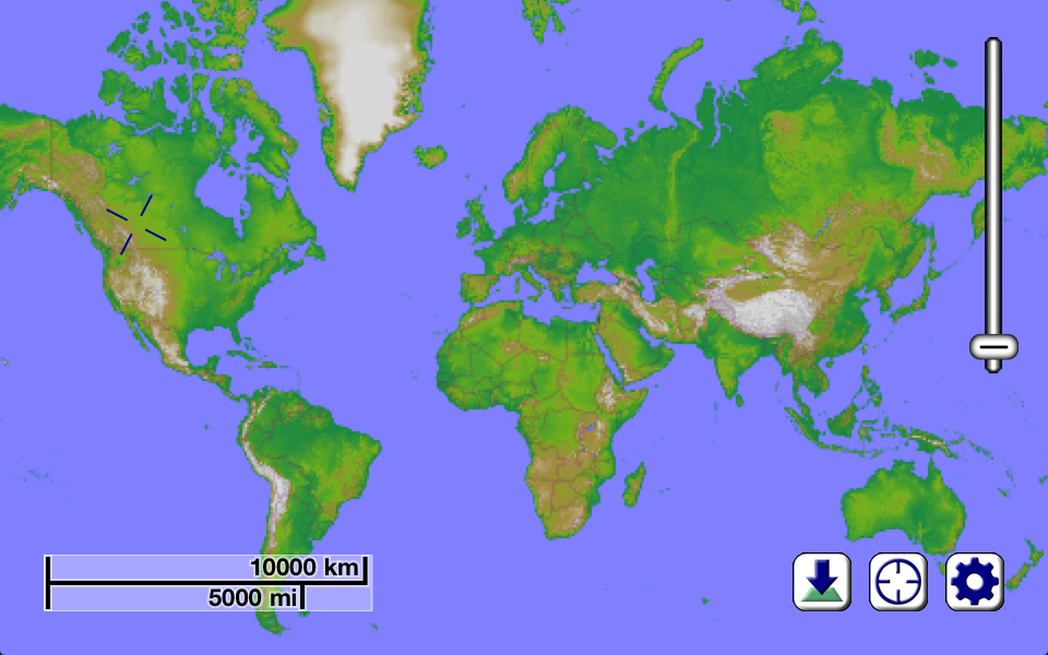
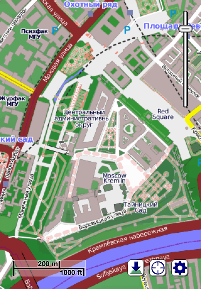
There is more involved to providing accurate, practical, and visually appealing maps than just drawing lines where roads are. Our Earth isn't flat, so the way it appears on your screen shouldn't be either. To this end, we have spent a lot of time collecting topographical information for the entire planet, and presenting it in an intuitive and practical way. If there is a small hill or valley in the area you are interested in looking at, it will likely be obvious in Mapster. This provides all kinds of practical benefits for the outdoor enthusiast - if you're the type of person who enjoys hiking or cycling, you'll know ahead of time what to expect.
Of course, there is a lot more to Mapster than just a visualization of the terrain in an area. We use data from the OpenStreetMap project to be able to show you where roads, trails, stores, coffee shops, and hundreds of different types of features can be located. Approximately a billion points make up the current OpenStreetMap data set, and the collection is continuing to grow at an astounding rate.
Mapster doesn't rely on mapping data that quickly becomes outdated. Approximately once per month, our servers update the map information with the latest changes submitted by hundreds of thousands of users around the world, and keep your iPhone, iPod, or iPad current automatically. As a Mapster user, you obtain privileged access to incredible maps of our entire planet, at a level of detail never before seen.
By using your device's built-in ability to determine its location (through a combination of GPS, cell phone triangulation, and WiFi site analysis technologies), you'll always know what's "around the next corner". And if you're the sort of person who likes to explore areas where there is no cell phone or Internet service, that's no problem. Unlike some other map software that requires a live Internet connection to provide you with information, the map details you download to your device are cached, so they stick around and are available even when you're in the middle of nowhere (perhaps not so surprisingly, some of the most interesting places on the planet are "in the middle of nowhere"). If you are planning on exploring an area, all you need to do is tell Mapster to download the details of that location before you leave.
There's quite literally an entire planet out there waiting to be explored, whether you're looking for new restauraunts in your community, or kayaking down a river surrounded by a tropical rainforest (though for the latter, we'd suggest also bringing along a waterproof bag to keep your iPhone/iPod/iPad in). With Mapster along for the ride, you'll see the Earth as you never have before.
NOTE: To prevent excessive bandwidth on our servers providing the map data, the free version of this app is restricted to downloading a fixed amount of map data per day, roughly equivalent to around 5 or 10 minutes of panning around and zooming in interactively (and obviously much less if you decide to batch download maps). To remove this restriction, inexpensive monthly and yearly subscriptions are available as in-app purchases which give you access to obtaining as much map data as you'd like.
In-Apps
- Unlimited downloads for 1 Year
- €9.99
- Unlimited downloads for 30 days
- €1.99
Screenshots


Mapster FAQ
-
Is Mapster free?
Yes, Mapster is free to download, however it contains in-app purchases or subscription offerings.
-
Is Mapster legit?
Not enough reviews to make a reliable assessment. The app needs more user feedback.
Thanks for the vote -
How much does Mapster cost?
Mapster has several in-app purchases/subscriptions, the average in-app price is €5.99.
-
What is Mapster revenue?
To get estimated revenue of Mapster app and other AppStore insights you can sign up to AppTail Mobile Analytics Platform.

4.67 out of 5
3 ratings in Germany
Mapster Reviews
Store Rankings
|
Chart
|
Category
|
Rank
|
|---|---|---|
|
Top Free
|

|
427
|
Mapster Competitors
Mapster Installs
Last 30 days
Mapster Revenue
Last 30 daysMapster Revenue and Downloads
Sign up now to access downloads, revenue, and more.
App Info
- Category
- Navigation
- Publisher
- Syzygy Research & Technology
- Languages
- English
- Recent release
- 1.4 (7 years ago )
- Released on
- May 3, 2011 (14 years ago )
- Also available in
- United States, Canada, Australia, Thailand, Netherlands, United Kingdom, Germany, Italy, Poland, France, Mexico, Brazil, Finland, Sweden, New Zealand, Peru, Austria, Philippines, Pakistan, Estonia, Portugal, Switzerland, China, Ireland, Saudi Arabia, Russia, Colombia, Norway, Argentina, India, South Africa, Czechia, Algeria, Spain, Chile, United Arab Emirates, Belgium, Denmark, Japan, South Korea, Malaysia, Türkiye, Hungary, Greece, Indonesia, Hong Kong SAR China, Madagascar, Nepal, Egypt, Uzbekistan, Romania, Israel, Vietnam, Belarus, Kuwait, Nigeria, Kazakhstan, Croatia, Taiwan, Ukraine, Ecuador, Brunei, Singapore, Armenia, Iceland, Bahrain, Luxembourg, Latvia, Dominican Republic, Lebanon, Azerbaijan
- Last Updated
- 1 week ago