
Description
Mapping and data collection has never been more easy, accurate, and efficient. Geotag photos, record tracks, save waypoints, trace lines, draw polygons, and so much more with the NRDS app. Utilizing your device’s GPS, this mapping and data collection tool works both on and offline. Working in conservation or agriculture? Doing some surveying or hiking? This dependable app is designed for you.
ENHANCE YOUR NRDS CAPABILITIES
With credentials you can sync data to the nrds.io web platform and access features including but not limited to:
• Develop comprehensive reports
• Track work hours
• Share data between partners
• Bulk data uploads and exports
• Design downloadable surveys
• Organize your GIS features
• Manage users, teams, and contact lists
• Browse your photo gallery
• Build projections
Hide
Show More...
ENHANCE YOUR NRDS CAPABILITIES
With credentials you can sync data to the nrds.io web platform and access features including but not limited to:
• Develop comprehensive reports
• Track work hours
• Share data between partners
• Bulk data uploads and exports
• Design downloadable surveys
• Organize your GIS features
• Manage users, teams, and contact lists
• Browse your photo gallery
• Build projections
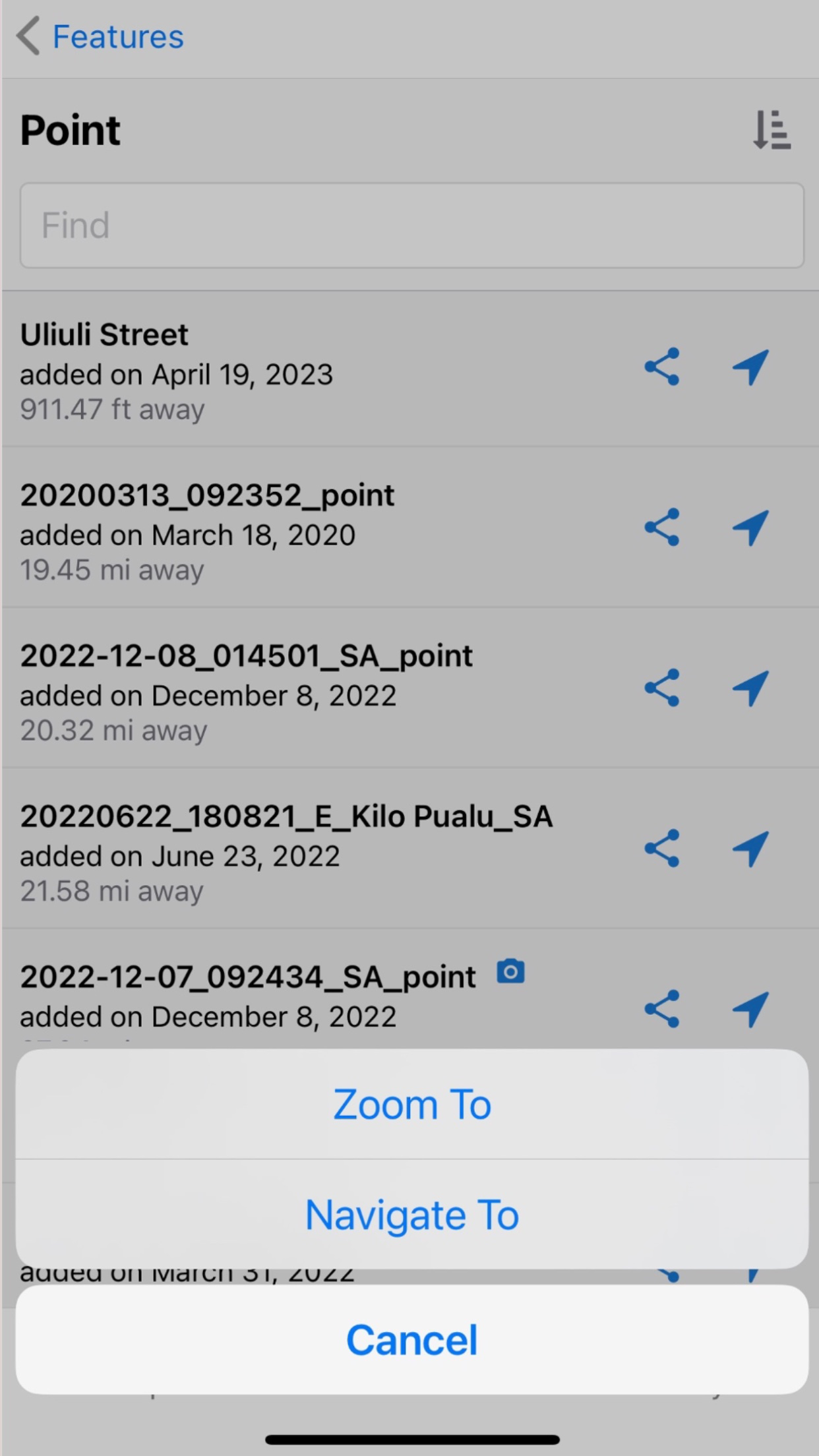
Screenshots


NRDS Mobile Mapping ('Āina) FAQ
-
Is NRDS Mobile Mapping ('Āina) free?
Yes, NRDS Mobile Mapping ('Āina) is completely free and it doesn't have any in-app purchases or subscriptions.
-
Is NRDS Mobile Mapping ('Āina) legit?
Not enough reviews to make a reliable assessment. The app needs more user feedback.
Thanks for the vote -
How much does NRDS Mobile Mapping ('Āina) cost?
NRDS Mobile Mapping ('Āina) is free.
-
What is NRDS Mobile Mapping ('Āina) revenue?
To get estimated revenue of NRDS Mobile Mapping ('Āina) app and other AppStore insights you can sign up to AppTail Mobile Analytics Platform.

User Rating
App is not rated in South Africa yet.
Ratings History
NRDS Mobile Mapping ('Āina) Reviews
No Reviews in South Africa
App doesn't have any reviews in South Africa yet.
Store Rankings
Ranking History
App Ranking History not available yet
Category Rankings
App is not ranked yet
NRDS Mobile Mapping ('Āina) Installs
Last 30 days
NRDS Mobile Mapping ('Āina) Revenue
Last 30 daysNRDS Mobile Mapping ('Āina) Revenue and Downloads
Gain valuable insights into NRDS Mobile Mapping ('Āina) performance with our analytics.
Sign up now to access downloads, revenue, and more.
Sign up now to access downloads, revenue, and more.
App Info
- Category
- Navigation
- Publisher
- Natural Resource Data Solutions
- Languages
- English
- Recent release
- 43 (3 months ago )
- Released on
- Jul 4, 2018 (6 years ago )
- Also available in
- United States, Russia, Philippines, Italy, Japan, South Korea, Kuwait, Kazakhstan, Lebanon, Mexico, Malaysia, Nigeria, Netherlands, Peru, Ireland, Poland, Romania, Saudi Arabia, Singapore, Thailand, Taiwan, Ukraine, South Africa, Germany, Austria, Australia, Belgium, Brazil, Belarus, Canada, Switzerland, Chile, China, Colombia, Czechia, Argentina, Denmark, Dominican Republic, Algeria, Ecuador, Spain, France, United Kingdom, Greece, Hong Kong SAR China, Indonesia
- Last Updated
- 1 month ago
This page includes copyrighted content from third parties, shared solely for commentary and research in accordance with fair use under applicable copyright laws. All trademarks, including product, service, and company names or logos, remain the property of their respective owners. Their use here falls under nominative fair use as outlined by trademark laws and does not suggest any affiliation with or endorsement by the trademark holders.