Fee only
This thing will not do anything without a subscription. Totally misleading…

Yes, NRST is free to download, however it contains in-app purchases or subscription offerings.
🤔 The NRST app's quality is mixed. Some users are satisfied, while others report issues. Consider reading individual reviews for more context.
NRST has several in-app purchases/subscriptions, the average in-app price is 10.74 $.
To get estimated revenue of NRST app and other AppStore insights you can sign up to AppTail Mobile Analytics Platform.

4.43 out of 5
7 ratings in United States
This thing will not do anything without a subscription. Totally misleading…
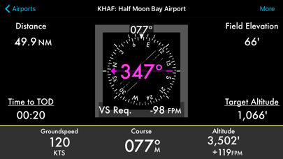
My CFI got me completely lost, even changed the heading indicator with the purpose of finding my way using the app, sure enough the app put me on top of the nearest airport.
Good plan. Poor execution. The database won’t download on Apple Watch. After multiple attempts and troubleshooting, all I get is a sad face emoji. Not even an error code, just an emoji.
App doesn’t work. Developer out of business. Don’t give Apple your money for this app.
Spent the dollars to use on Apple Watch. Database does not want to download to watch (but does to phone). Also appears to be an abandoned project. I like the concept, I just wish it worked on my Watch at the developer was active and responsive.
Bought the app primarily for the watch app. It does not download database to watch and, though purchased, won’t download. Rip off!!
Love the app. The only drawback is no Apple watch complication. This would make it much faster to access for a quick glance while flying.
... but I’ll never know, because a non-refundable subscription is required to try it out ...
Pro: $12/y Phone app works well. Cons: $18/y subscription to watch is a waste of money if you want to use it on watch gen 4. Watch app doesn’t want to download/install initial database, keeps saying that subscription expired. Apps Resets/re-downloads/re-installations do not change this. There is no way to force watch app to sync with database. Tried on 2 watches. Identical experience.
Occasional hiccup with Watch app that I attribute more to the watch. Probably had to do with syncing to new phone.
| Name | Downloads (30d) | Monthly Revenue | Reviews | Ratings | Recent release | |
|---|---|---|---|---|---|---|

SkyTimer
Flight Timer & Fuel Computer
|
Unlock
|
Unlock
|
5
|
|
2 weeks ago | |

FlyGo Air Navigation
Aviation App for Pilots
|
Unlock
|
Unlock
|
41
|
|
2 weeks ago | |

Fly Virga
|
Unlock
|
Unlock
|
7
|
|
1 year ago | |

Altimeter+
Barometer, GPS & ASTER
|
Unlock
|
Unlock
|
261
|
8
|
5 months ago | |

Pilot: Aviation Altimeter
Airplane mode, no GPS needed
|
Unlock
|
Unlock
|
22
|
|
1 year ago | |

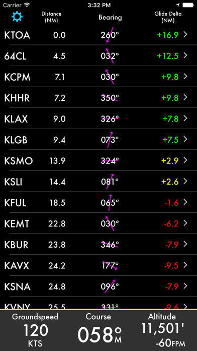
Nearest Airport
NRST for the Watch
|
Unlock
|
Unlock
|
2
|
|
4 months ago | |

Sporty's E6B Flight Computer
Calculator for pilots
|
Unlock
|
Unlock
|
155
|
39
|
8 months ago | |

AltitudeAlert
Advanced Altitude Management
|
Unlock
|
Unlock
|
1
|
|
1 week ago | |

AOPA Mags
|
Unlock
|
Unlock
|
22
|
|
1 year ago | |

Stratus Horizon Pro
AHRS & Radio Transcription
|
Unlock
|
Unlock
|
12
|
|
1 month ago |
