
Outside Maps
#1 Keyword Rankings
Today
Top 10 Rankings
Today
Top 30 Rankings
Today
Top 100 Rankings
Today
Description
*** Please do not use reviews to report bugs or ask for features. I almost never read the reviews and I cannot contact you for additional information! Contact [email protected] instead ***
Outside Maps is an iPhone/iPad/iPod Touch application that enables you to view and navigate a wide variety of mapping data using an easy-to-use touch interface.
Outside Maps supports Ordnance Survey mapping for Great Britain at various scales including 1:50000.
Outside Maps supports WORLDWIDE coverage for OpenStreetMap, OpenCycleMap and the Stamen and Thunderforest map sources.
Outside Maps supports historic 1" Ordnance Survey mapping from 1880-1990 and 1921-1947 courtesy of the National Library of Scotland.
Outside Maps supports shaded terrain data for the UK only derived from Ordnance Survey OS Terrain 50. Outside Maps supports shaded terrain data for Scotland only derived from Scottish Government 1m LIDAR.
Outside Maps includes ESRI aerial photography courtesy of ESRI.
Outside Maps includes the following features:
- Intuitive "slippy maps" interface
- Native iPad support in both portrait and landscape modes
- Current Ordnance Survey mapping is available
- OpenStreetMap and derived data is supported at all available resolutions
- Historic 1" Ordnance Survey data from 1880-1990 and 1921-1947
- OpenCycleMap support
- Thunderforest "Landscape" and "Transport" mapping support
- Stamen mapping support
- ESRI aerial imagery
- Hill-shading mapping for the UK at 50m and selected 1m resolution
- Full Ordnance Survey OSTN02 adjustments for highest accuracy (+/- 1m accuracy)
- Real-time position tracking via GPS (or WiFi-based positioning)
- Compass and bearing (either using GPS and movement tracking or hardware compass if available)
- "Lookahead" feature when moving at > 5mph
- Waypoints functionality including import and export via GPX format
- OS OpenSpace-driven postcode and placename lookup (online only)
- Grid reference and latitude/longitude lookup (offline)
- what3words support (online only)
Hide..
Show more..
Outside Maps is an iPhone/iPad/iPod Touch application that enables you to view and navigate a wide variety of mapping data using an easy-to-use touch interface.
Outside Maps supports Ordnance Survey mapping for Great Britain at various scales including 1:50000.
Outside Maps supports WORLDWIDE coverage for OpenStreetMap, OpenCycleMap and the Stamen and Thunderforest map sources.
Outside Maps supports historic 1" Ordnance Survey mapping from 1880-1990 and 1921-1947 courtesy of the National Library of Scotland.
Outside Maps supports shaded terrain data for the UK only derived from Ordnance Survey OS Terrain 50. Outside Maps supports shaded terrain data for Scotland only derived from Scottish Government 1m LIDAR.
Outside Maps includes ESRI aerial photography courtesy of ESRI.
Outside Maps includes the following features:
- Intuitive "slippy maps" interface
- Native iPad support in both portrait and landscape modes
- Current Ordnance Survey mapping is available
- OpenStreetMap and derived data is supported at all available resolutions
- Historic 1" Ordnance Survey data from 1880-1990 and 1921-1947
- OpenCycleMap support
- Thunderforest "Landscape" and "Transport" mapping support
- Stamen mapping support
- ESRI aerial imagery
- Hill-shading mapping for the UK at 50m and selected 1m resolution
- Full Ordnance Survey OSTN02 adjustments for highest accuracy (+/- 1m accuracy)
- Real-time position tracking via GPS (or WiFi-based positioning)
- Compass and bearing (either using GPS and movement tracking or hardware compass if available)
- "Lookahead" feature when moving at > 5mph
- Waypoints functionality including import and export via GPX format
- OS OpenSpace-driven postcode and placename lookup (online only)
- Grid reference and latitude/longitude lookup (offline)
- what3words support (online only)
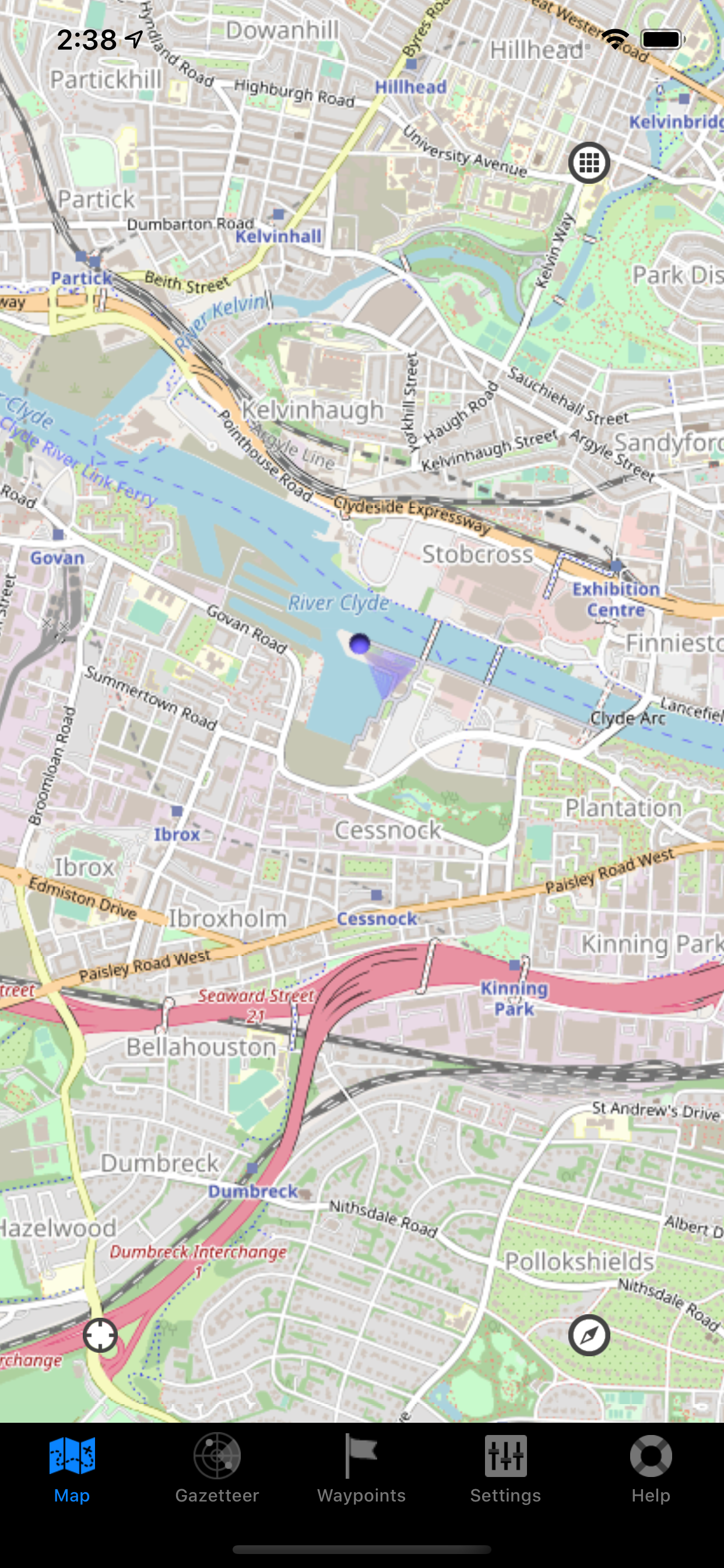
Screenshots


 User Rating
0 out of 5
0 ratings in China
Ratings History
Reviews
App doesn't have any reviews yet
Store Rankings
Ranking History
App Ranking History not available yet
Category Rankings
|
Chart
|
Category
|
Rank
|
|---|---|---|
|
Top Free
|

|
481
|
Keywords
Users may also like
| Name | Reviews | Recent release | |
|---|---|---|---|

OutDoors GB - Offline OS Maps
GPS includes 15 National Parks
|
0
|
10 months ago | |

Memory-Map
Topo Maps / Marine Charts
|
0
|
2 years ago | |

Cabbie's Mate
|
0
|
5 months ago | |

OS Maps: Walk, Hike, Run, Bike
Route plan, map & GPS navigate
|
0
|
5 days ago | |

GPS OS Grid Reference
Great Britain and Ireland
|
0
|
2 years ago | |

OpenMaps - 地形图 (Dìxíng tú)
Open source topographic maps
|
2
|
3 weeks ago | |

Memory-Map for All
Offline Mapping GPS Navigation
|
0
|
5 months ago | |

幸运发现:金属检测应用程序
路线和查找跟踪器
|
0
|
11 months ago | |

Maps for OSM
OSM maps, AV media, tracks
|
0
|
1 month ago | |

Postcode: The Address Finder
|
0
|
4 months ago |
Show More
Revenue and Downloads
Gain valuable insights into Outside Maps performance with our analytics. Sign up now
to
access downloads, revenue, and more.
App Info
- Category
- Navigation
- Publisher
- Replicade Ltd.
- Languages
- English
- Recent version
- 3.7.2 (2 years ago )
- Released on
- Feb 26, 2011 (13 years ago )
- Also available in
- United Kingdom, United States, Russia, Spain, Austria, Australia, France, Germany, Nigeria, Peru, New Zealand, Norway, Netherlands, Portugal, Malaysia, Mexico, Lebanon, Kazakhstan, Kuwait, Philippines, Pakistan, Poland, India, Romania, Saudi Arabia, Sweden, Singapore, Thailand, Turkey, Taiwan, Ukraine, Vietnam, South Africa, Algeria, Argentina, Azerbaijan, Belgium, Brazil, Belarus, Canada, Switzerland, Chile, China, Colombia, Czechia, Denmark, South Korea, Ecuador, Egypt, Finland, Greece, Hong Kong, Hungary, Indonesia, Ireland, Israel, United Arab Emirates, Italy, Japan, Dominican Republic
- Last updated
- 1 week ago