Perfect for identifying old paths
Love this idea, being able to overlay old maps over your GPS position showing where old public rights of way used to be which are now not featured on more modern OS maps.


Yes, Outside Maps is completely free and it doesn't have any in-app purchases or subscriptions.
✅ The Outside Maps app appears to be high-quality and legitimate. Users are very satisfied.
Outside Maps is free.
To get estimated revenue of Outside Maps app and other AppStore insights you can sign up to AppTail Mobile Analytics Platform.

Love this idea, being able to overlay old maps over your GPS position showing where old public rights of way used to be which are now not featured on more modern OS maps.
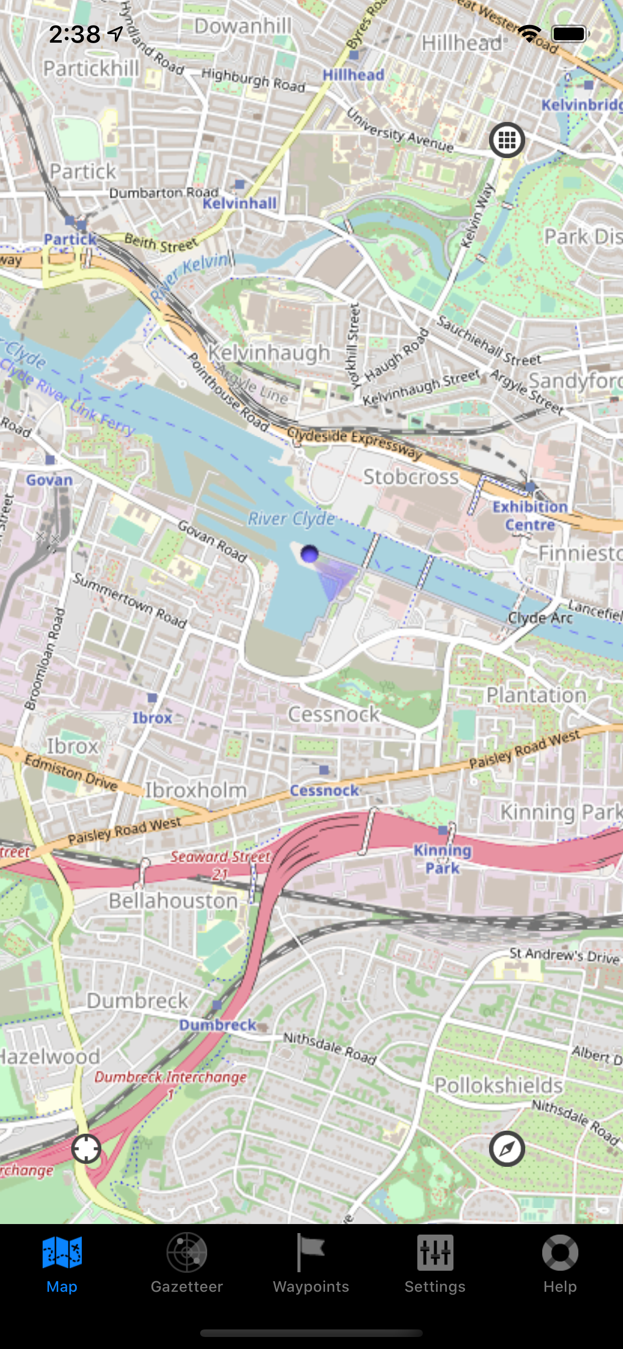
What an amazing map app, and it’s free. Thank you so much for this. I’m a delivery driver, and to have house names and numbers is just amazing. 5 stars.
If you’re a delivery driver, this app is absolutely essential. not only does it show great detail of the property including the house names but also the correct way to get to them. this app is brilliant. Good work guys keep it up
The ability to compare [ast and present is really useful and interesting. The only things that I'd like are a zoom function (I can stretch the image using an iPhone or iPad but can't do that with the desktop version - and maybe a 1960's map.
Fairly good app does everything that it says it does! Nice and handy.....easy to navigate 👍🏻
An absolutely essential app for anybody like me that scours the UK for Ordnance Survey bench marks. Zooming in on the Ordnance Survey maps shows the detail mapping that shows to precise location of nearly all of the bench marks on the Ordnance Survey list. I’m really glad I discovered this app.
Being fascinated by old maps, this seems to be the only app I can find where you can a gps location in real time overlaid on a map that is over a hundred years old. For a free app this is great and I would love to see more developments on this neglected niche of historical maps. I find the historic maps do not zoom in enough though, and is hard to see detail on a phone screen. I would like to see some of the more detailed historic maps incorporated within in app with zoom and overlay feature. I wait in anticipation for this to appear! But this particular app, for a free download, is an excellent and fascinating tool for map geeks.
Text to select map source has become invisible after latest update - white on white background when using dark theme - almost unusable now. Great app otherwise. As I mainly switch to OpenStreetMap it is frustrating trying to choose from the invisible text options for the map source. Please also include an option for selected map source to remain as the default choice. Also the tile cache seems unreliable when offline. Many thanks for working on this super-useful app.
It has recently become impossible to select map sources because the options are invisible, rendering the app effectively useless.
Brilliant app especially the old maps, so much historical info there
|
Chart
|
Category
|
Rank
|
|---|---|---|
|
Top Free
|

|
489
|
