Topo Reader
USGS Topographical Maps
#1 Keyword Rankings
Today
Top 10 Rankings
Today
Top 30 Rankings
Today
Top 100 Rankings
Today

Description

Download all available USGS topographic maps and import Geospatial PDF maps for off-line use at full undistorted resolution.

Topo Reader is designed for road trips, camping, hiking, exploration and geographical history. Map images are accurately center aligned regardless of datum and placed on top of Apple's map kit for easy referencing and intuitive touch navigation.

This software utilizes the latest capabilities of IOS with a fast start up, map rotating, unbeatable full detail resolution. Map downloads dispatch in the background so you can continue using the app.

Topo Reader can install for use 422,664 U.S. Geological Survey current and historical topographical maps describing the topography of every region and island territories of the United States of America. Historical versions date as far back as year 1879. Install a map quad by pressing and holding a point on the reference map and discover the maps available at that location and the unique names given to every quad by the cartographers.

Import geospatial PDF maps from the web, AirDrop, Finder, iTunes and email. Even at trailheads there are QRCode for maps that copy and install onto this app! Local and national park services offer PDF maps from their web sites. Even aeronautical sectional maps with embedded geospatial metadata that you can download in installed into Topo Reader.

Easy see all your installed maps by zooming out and they all become a colorful violet and partially transparent so you can spot your map. Installed maps are managed in a table format which can be sorted by name, distance, and scale. Multiple versions of the same map can be stacked on top of one another and made visible or hidden using two finger swipes.

Planning a hike somewhere and want to know the distance of your jaunt. Download the map and use the dual mode ruler to measure the path distance. Select the create Route option and draw and record your planned route.

Purchase a subscription for unlimited map downloading. A subscription stops ads and doesn't auto-renew. The first few map download are complementary.‡

Features:

• No need for cellular service to use
• Use the GPS on downloaded topo maps while offline*
• Dual mode ruler with orthographic line and path measuring
• Waypoints with Augmented Reality finder
• Routes path creation
• Tracks/bread-crumb GPS location recording*
• Full app usability while maps download in the background
• Displays footprint grid and quad names
• Aligns map datums to WGS84 (GPS) coordinates
• Dynamic map stitching
• Cropping of map margins for one big map grid
• Automatic USGS topographic map download for your current location
• Uses GPS location service to identify your location on a topo map*
• Miles, Feet, Kilometers, Meters, Nautical Miles units
• MGRS, UTM, and geodetic latitude and longitude coordinates
• Import geospatial PDF maps downloaded from the USGS and other sources in zip or regular file formats
• Enter coordinates in decimal, minutes and second formats
• Map rotation and orients map to follow your heading
• Imports GPX file formats waypoints
• Email, AirDrop and SMS text waypoints, tracks and routes as GPX files (one subscription purchase required to permanently enable).

Not currently supported: Geo TIFF; OCG layer selection used in current USTopo USGS maps.
Not all geospatial metadata formats and datums are supported for imported PDF maps.
Limited KML features supported.

* Not preloaded with maps. WiFi recommended. Downloading queue does cap at around 36 maps.
** Continued use of GPS running in the background can dramatically decrease battery life. Location feature may not function on iPod and wifi-only iPad devices without GPS hardware.
‡ After a subscription period expires, advertisement may resume from usage of the import features.
Hide.. Show more..

In-Apps

1 Year
$5.99
90 Day
$2.99
Lifetime
$23.99

Screenshots

User Rating

4.7 out of 5

135 ratings in United States

5 star
113
4 star
12
3 star
5
2 star
1
1 star
4

Ratings History

Reviews

Premium isn’t permanent

nickname 7777777 on

I paid for premium, and now I can’t use it anymore!!!

Real estate

hobby11 on

Great

Great App

shamalamadingdong1776 on

Very useful!

Great

gjp2s on

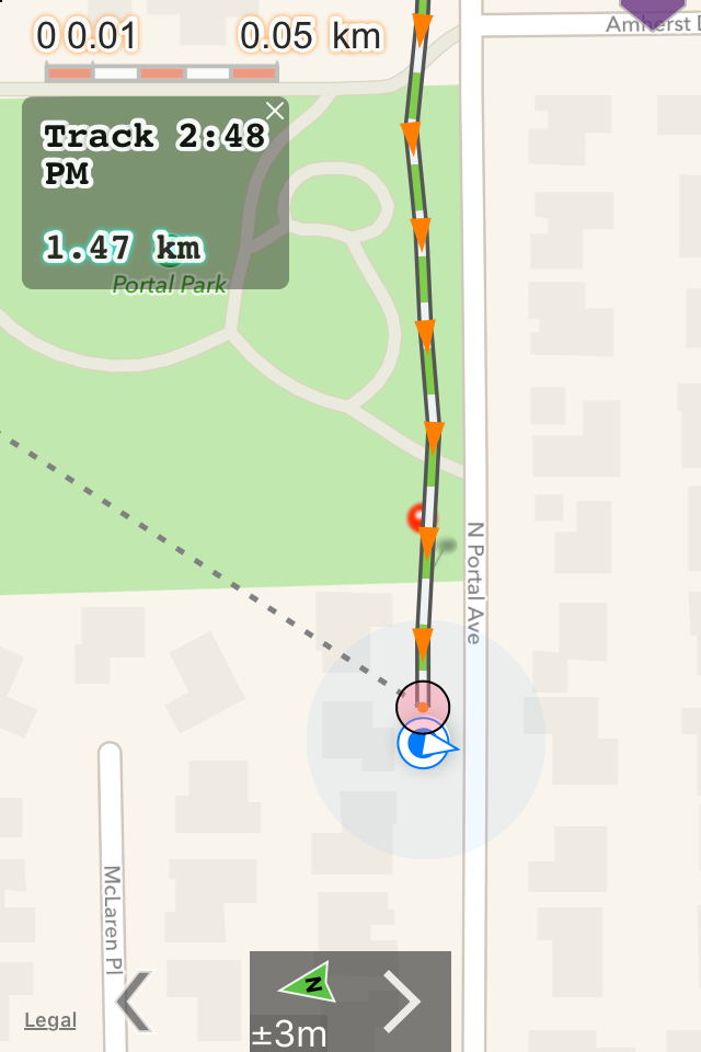
view Maps Old and New

Good app and cheap!

ralph asmus on

Seams to work well. Recommend the 3 month option.

A brilliant topo app!!!

Summit14er on

This is a marvelous free topo-map reader that's chocked full of powerful special features not found in many similar but expensive paid apps. The interface is brilliantly designed for maximum control and flexibility, and the extensive integrated help file makes this app a joy to use. The developers are to be congratulated for providing the public with free access to historical USGS topo maps through such a logical, powerful, and appealing tool. This topo reader has quickly become indispensable to me in planning hiking and climbing trips. I absolutely LOVE this app and would give it 10 stars if I could. ⭐️⭐️⭐️⭐️⭐️⭐️⭐️⭐️⭐️⭐️

Ads make it unusable even to try

dina_g on

This seemed like an amazing app at first. I thought for sure I'd look into the paid version once I'd reached my maximum # of maps. But I couldn't even download the 3 maps I needed to look at the trails I'm hoping to walk on, because every time I scroll to find the map location, a 15 second ad starts playing. The app is unusable as a trial. It seems to have high potential, but I'll have to look at other apps instead since the ads in this one make it impossible to view the maps (which are available free on USGS website.)

Impossible to Use Due To Advertisements

PilotWesley on

When the "in-app advertisements" suddenly pop up, they take up the entire screen. This happens so frequently, it makes the app pretty much useless for its intended purpose. I'm okay with ads in "free" versions of applications, but this near-constant full-screen takeover defeats the purpose of a mapping application.

BEST APP EVER!!!

qpearson on

This is the greatest app. Used it too explore the my local mountain side. While I was looping the mountain side I found some suspicious wooden boards near the base of the mountain. Then I found an abandoned gold mine. I went in and found what appears to be gold flakes. I am planning to stay here quite a bit. Most people don't use these maps but I have found some maps that still have locations of old mines. After this exciting adventure I am heading to Nevada to look for silver mines. I would highly recommend this app.

Бесполезная

Espasio on

Обычный просмотрщик карт! Никаких Топокарт нет

Store Rankings

Ranking History

App Ranking History not available yet

Category Rankings

App is not ranked yet

Keywords

Users may also like

Name
Memory-Map
Topo Maps / Marine Charts
Topo Maps US
Scenic Map
3D topo maps of the world
Forest Maps 2
Maps of U.S. National Forests
You Need A Map
Offline 3D topo maps
Paper Maps
LiveTopo
Maps for Geology Lovers
US Historic Places
Go Huntin' for some History!
Scenic Map Grand Canyon
Offline 3D topo maps
Offtrack
Navigate the great outdoors
Show More

Revenue and Downloads

Gain valuable insights into Topo Reader performance with our analytics. Sign up now to access downloads, revenue, and more.

App Info

Category
Navigation
Publisher
Delcartes LLC
Languages
English
Recent version
8.1 (1 year ago )
Released on
Nov 17, 2014 (9 years ago )
Last updated
1 month ago