Tracks4Africa Guide
#1 Keyword Rankings
Today
Top 10 Rankings
Today
Top 30 Rankings
Today
Top 100 Rankings
Today

Description

Welcome to the most detailed travel guide for overland travel in Africa. This offline app offers a great map and huge amount of detailed places of interest for planning your next safari. Your GPS location will ensure you stay orientated while using the app on your self-drive trip.

Try it out

The app contains samples of the map and guide information, which can be upgraded to full country maps and guides.

How does it work?

This is not a routing/navigation app. The app aims to bring you offline access (i.e. no internet connection required) to the following:
• A detailed map of the country or region you purchase. The country map roughly corresponds to a 1:1 000 000 paper map in terms of its detail and will allow you to view the map at different zoom levels. The map works similar to a web map with the difference being that all information is installed on your device. It contains place names like cities, towns and villages together with a detailed road and track network. It also shows you all protected areas such as national parks and game reserves together with relevant background data such as rivers, mountains and major attractions.
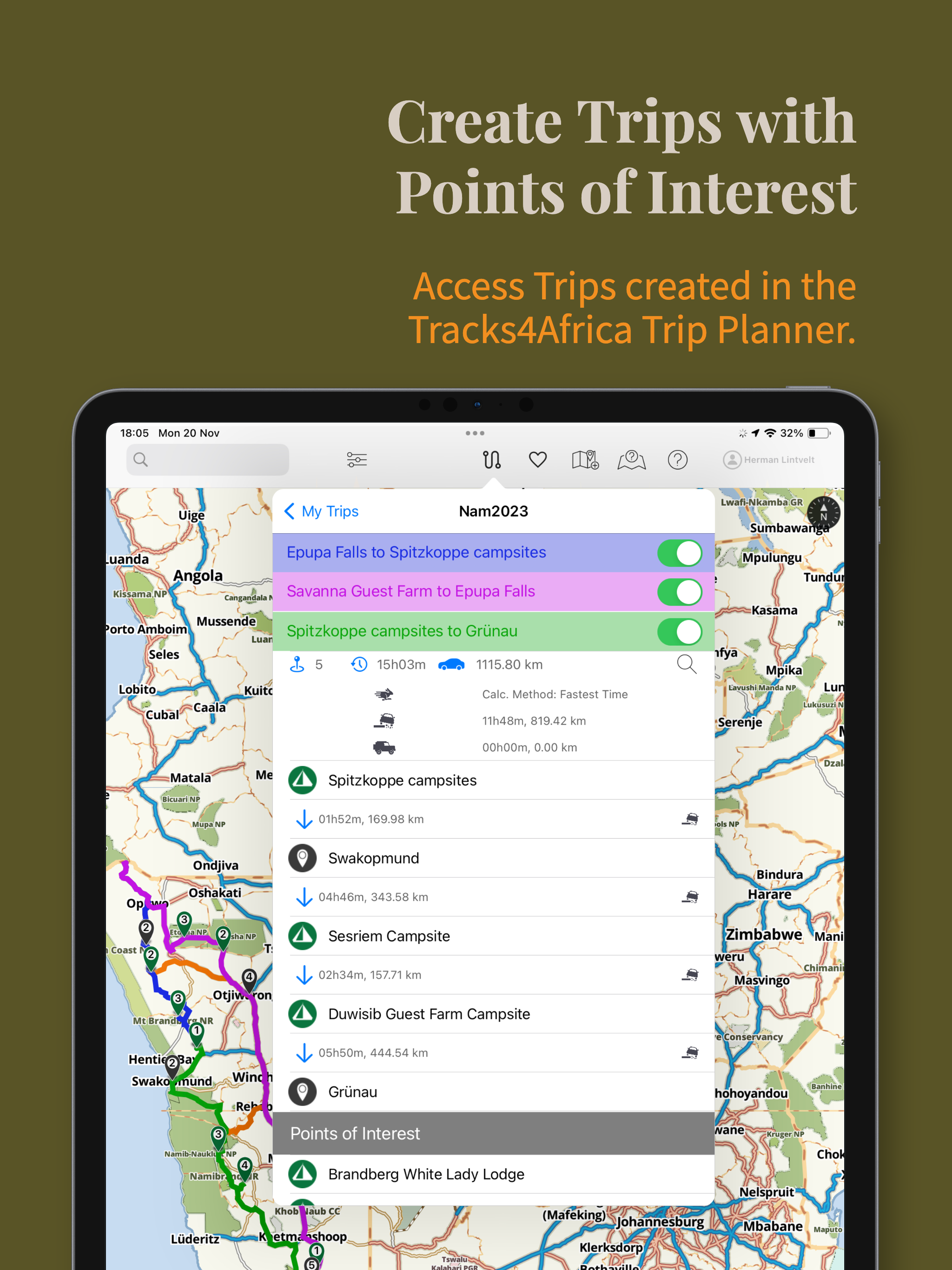
• A detailed guide with the following categories: Places (cities, towns, etc), Attractions & Activities, Parks, Scenic, Camps, Lodging, Food & Drink, Fuel, Shopping, Services and More (miscellaneous points of interest). The guide information is linked to a location on the map and will display as a pin on the map for you to know where it is in reference to where you are.

The app will display a map of the country or region and allow you to switch on different categories of points of interest. You can also search for specific places by name. The map search is location sensitive, i.e. results will be relative to the centre of the map.
Your position, determined from your iPhone or iPad’s location service, will display on the map so you can accurately orientate yourself on the map. As you drive, your location will update on the map so you always know where you are. (iPhone or iPad with GPS required)

The search functionality is linked to the guide categories. For example, if you need to find a campsite, simply switch on the Camps category. Immediately all campsites around you will display on the map and you can click on them for more information. Otherwise, if you know the name of a campsite, enter it into the search block and relevant results will be filtered.

What kind of information can you expect?

Apart from the categories already mentioned, points of interest will have associated information such as a description, contacts details, facilities and activities and some places will have photos. Have a look at the sample data in the free app to get an idea of what we offer.

What about updates?

Guide and Map content is updated once a quarter, and available for download if you have purchased the relevant guide.

Talk to us

We sincerely would like to hear what you think of the app. If you place a comment, question or suggestion in the review section, we cannot reply to you. So please drop us a line so we can engage and learn what you would like to see in subsequent releases of our app. You can contact us at [email protected] or via our Facebook page: facebook.com/Tracks4Africa.
Hide.. Show more..

In-Apps

Namibia Guide
$5.99
Botswana Guide
$5.99
Africa Map (HD)
$11.99
East Africa Guide
$12.99
West Africa Guide
$2.99
North Africa Guide
$2.99
South Africa Guide
$5.99
Africa Map (HD) Free
Free
Angola to Mozambique
$12.99
Central Africa Guide
$2.99

Screenshots

User Rating

4.63 out of 5

8 ratings in United States

5 star
7
4 star
0
3 star
0
2 star
1
1 star
0

Ratings History

Reviews

Lack of detail=big problem

Birsay on

Purchased this app for a 3-week self-drive safari around Botswana. This app was quite helpful—until you come to any intersections of multiple roads or twisty conflagrations, which is rather common while off-roading in Botswana. In this situations, it’s nearly useless! You have to drive for 5 or 10 minutes, then check again to see if you’ve guessed the right direction. This cost us several hours of being lost multiple times, getting stuck in messy off-road paths, sometimes in dangerous situations, getting dark, very isolated, animals about, and far from our campsite. This was stressful. I am far from a beginner with maps and traveling. The zoom just stops at a level way too high up. At about 1 cm to a mile! The blue dot-arrow with your position is some 200 m across. Why? It seems inexplicable. It was extremely frustrating. I though maybe I was doing something wrong, like I hadn’t unlocked some park of the app. But the app shows the switch for the guide green and good to go. We were very dependent on this app but could not rely on it.

I live in Namibia and use this all the time

hdhrfewoiuawregffhalj on

It’s the best. All kinds of cool data for road trips.

Unique mapping solution

nickdmoore on

The T4A Guide is NOT a navigation solution - there are lots of apps for that. Rather it brings a paper map experience to the digital world. It supplements a navigation app but does not replace it. Navigation apps are hopeless for planning routes and trips as well as for providing big picture orientation while on a journey. This is where the Guide excels. As you zoom out it will still show town names where navigation apps struggle. The v2 update makes a huge difference by introducing far more detailed maps.

Helpfull

NeelsL on

Lots of information for planning a trip and lots of information whilst on the trip. Places you on the map of your gps enabled device and supplies all relevant info in your immediate area such as fuel, lodging, shopping, camping and poi’s. It does not navigate but it gives the waypoints for these places to enter into your navigation system.

No ways!

John (Cape Town) on

I'm not sure who wrote the previous review. Clearly not someone who actually bought the app. I have been a T4A user for years on my Garmin and was hoping that finally, 5 years after the iPad had come out, that they would get this right, but they haven't! The map for South Africa is merely an image file, not vector based and therefore not properly zoomable. Do not waste your money till this has been rectified, I want my money back!

excellent

chiptoon on

Straightforward and easy to use. Highly recommended

Store Rankings

Ranking History

App Ranking History not available yet

Category Rankings

Chart
Category
Rank
Top Grossing
15
Top Grossing
18
Top Grossing
20
Top Grossing
39
Top Free
51

Keywords

Users may also like

Name
ASI Snakes
Karri
Convenient, Secure Collections
Sasol eBirds Southern Africa
SA's best-selling birding app
d6 Connect
SAPS Licence Competency Status
Licence & Competency Status
City of Cape Town
Connect to your City
TheTreeApp SA
Second Edition
Sasol eBirds South Africa LITE
Try the Sasol eBirds app
Struik Nature Call App
Scan book, play calls
Newman’s Birds of Africa LITE
Birds of Southern Africa
Show More

Revenue and Downloads

Gain valuable insights into Tracks4Africa Guide performance with our analytics. Sign up now to access downloads, revenue, and more.

App Info

Category
Reference
Languages
English
Recent version
2.3.3 (1 month ago )
Released on
Mar 26, 2015 (9 years ago )
Last updated
2 months ago