Love this simple app
Used it in Destin FL to navigate a rented pontoon boat.


Ja, Nautical Charts & Maps ist komplett kostenlos und enthält keine In-App-Käufe oder Abonnements.
Nicht genügend Bewertungen, um eine zuverlässige Einschätzung vorzunehmen. Die App benötigt mehr Nutzerfeedback.
Nautical Charts & Maps ist kostenlos.
Um geschätzte Einnahmen der Nautical Charts & Maps-App und weitere AppStore-Einblicke zu erhalten, können Sie sich bei der AppTail Mobile Analytics Platform anmelden.

Used it in Destin FL to navigate a rented pontoon boat.
I mistakenly thought that this was a legitimate NOAA product. Turns out it uses NOAA charts but is in no way associated with NOAA. It has absolutely no tools available for plotting routes in advance or tracking while underway. Useless for advance plotting and dead reckoning.
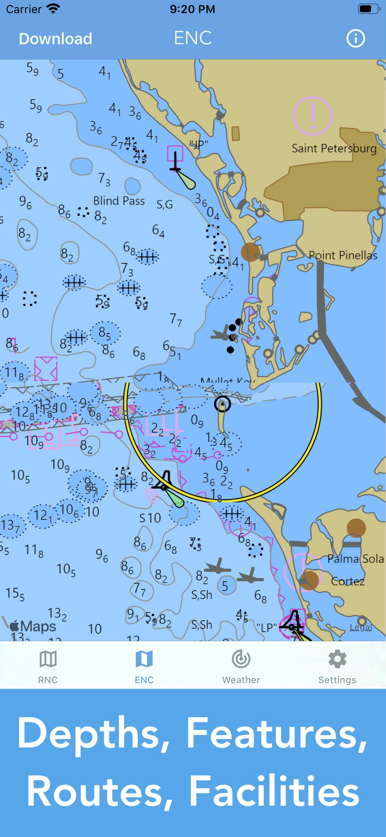
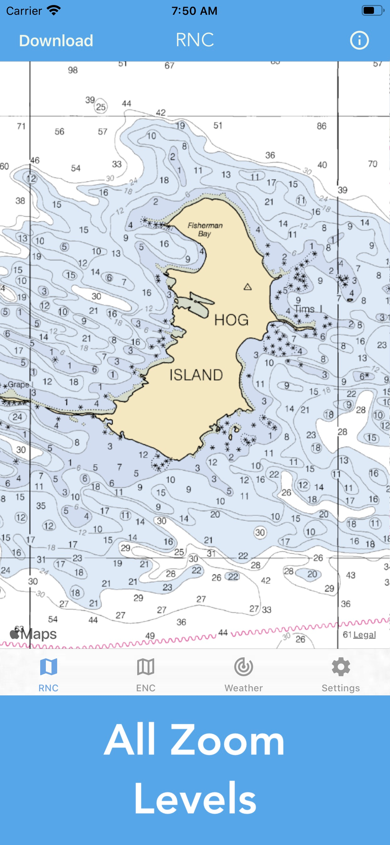
You can download charts and scroll around/zoom, but that’s about it. No real interactivity on the chart (being able to click on chart details like channel markers to get expanded details? Nope. Ability to set waypoints in a course? Nope. Ability to measure distance between two arbitrary points? Nope). It’s not bad, it’s just not really useful on the boat.
Fine looking map, are charts available for N.E. Oklahoma?
Complete waste of money if u want it for fresh water.. doesn’t even show water only a yellow screen
|
Diagramm
|
Kategorie
|
Rang
|
|---|---|---|
|
Top Bezahlt
|

|
8
|
|
Top Umsatz
|
|
13
|
|
Top Bezahlt
|

|
42
|
|
Top Bezahlt
|

|
98
|
|
Top Bezahlt
|

|
104
|
| Name | Downloads (30d) | Monatlicher Umsatz | Rezensionen | Bewertungen | Letzte Veröffentlichung | |
|---|---|---|---|---|---|---|

iNavX: Marine Navigation
Sailing & Boating Chartplotter
|
Freischalten
|
Freischalten
|
0
|
|
vor 3 Wochen | |

AIS Maps: Marine & Lake charts
Detailed nautical & topo maps
|
Freischalten
|
Freischalten
|
0
|
|
vor 4 Monaten | |

Atlas Nautical Charts
Marine & Lakes GPS Charts
|
Freischalten
|
Freischalten
|
0
|
|
vor 1 Jahr | |

Waterway Guide
Trusted Boating Resource
|
Freischalten
|
Freischalten
|
0
|
|
vor 2 Wochen | |

PRO CHARTS - Marine Navigation
|
Freischalten
|
Freischalten
|
0
|
|
vor 11 Monaten | |

Dockwa
Dock and mooring reservations
|
Freischalten
|
Freischalten
|
0
|
|
vor 3 Wochen | |
Snag-A-Slip
Explore. Book. Boat.
|
Freischalten
|
Freischalten
|
0
|
|
vor 5 Monaten | |

SEAiq USA
|
Freischalten
|
Freischalten
|
0
|
|
vor 1 Woche | |

SEAiq
|
Freischalten
|
Freischalten
|
0
|
|
vor 1 Woche | |

iSailGPS : NOAA USA RNC Charts
Marine Nautical Chart Plotter
|
Freischalten
|
Freischalten
|
0
|
|
vor 3 Wochen |
